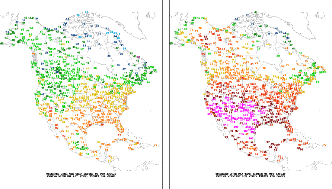
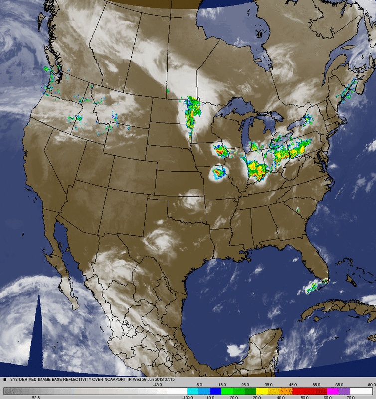
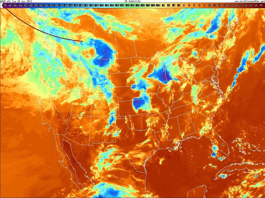
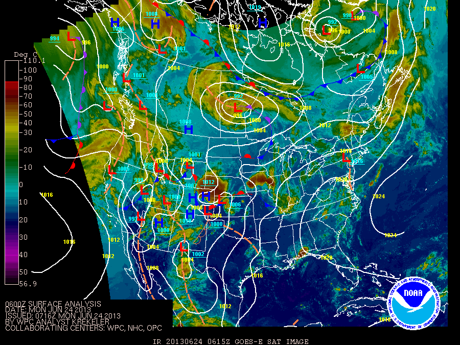
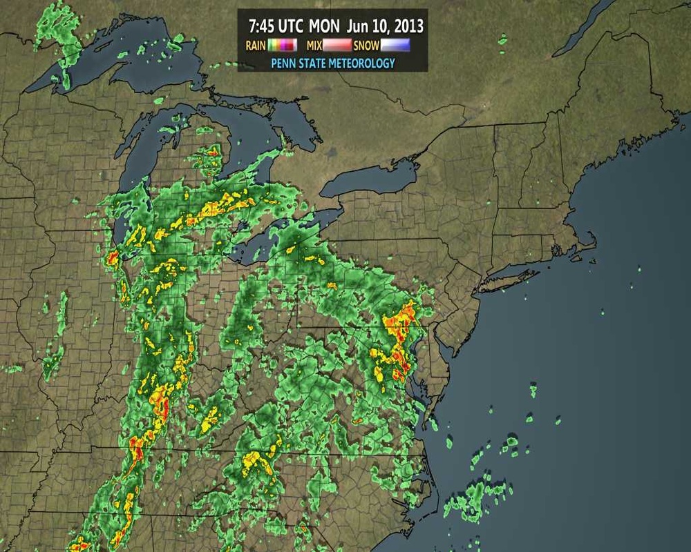
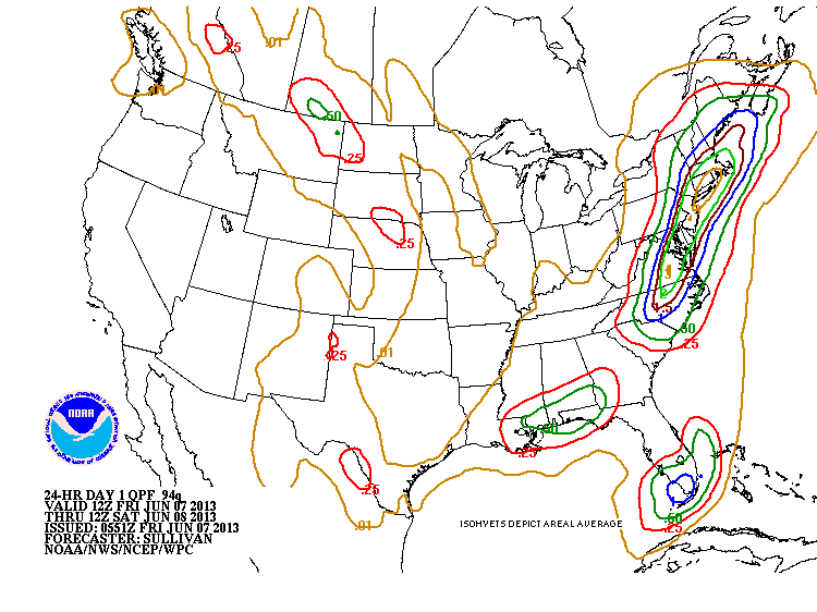
With the endless forecasts of "a chance of showers and thunderstorms" given to us by the models every day for the past week, with us not actually seeing any precipitation on half of those days it's hard to believe that term holds true for this week.
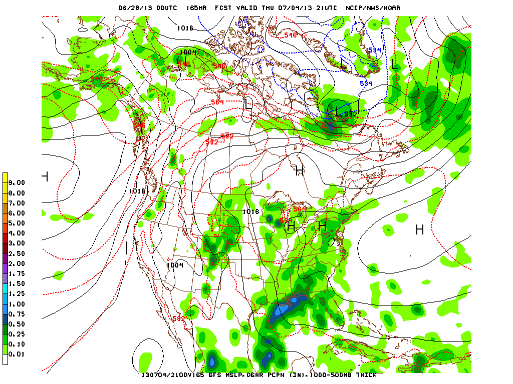
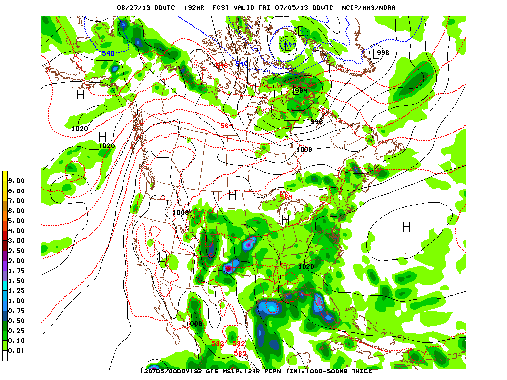
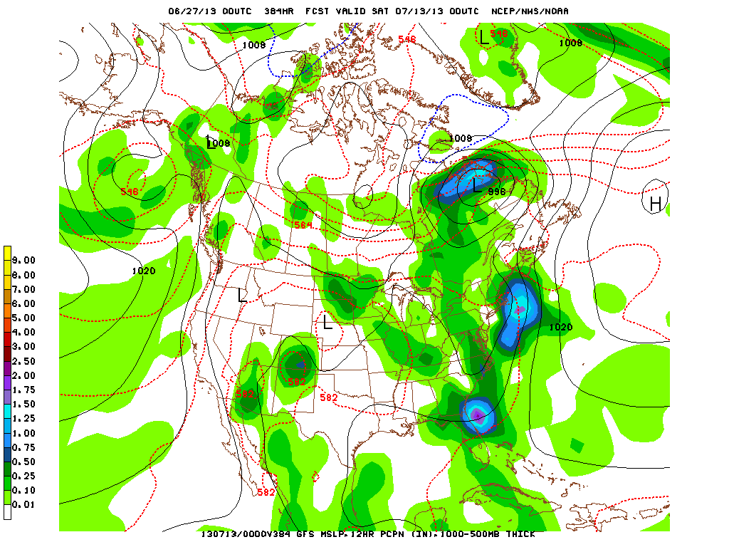
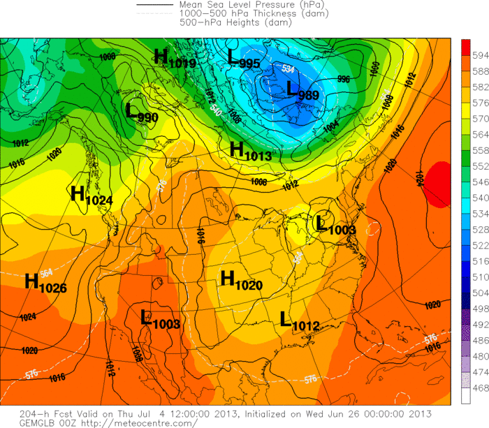
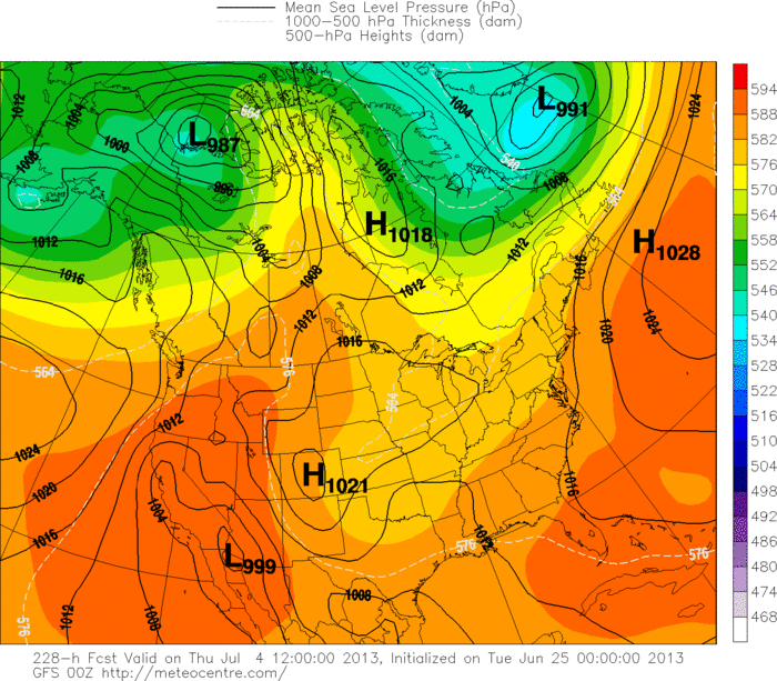
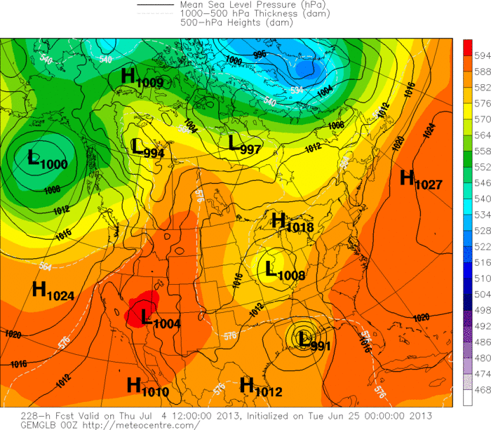
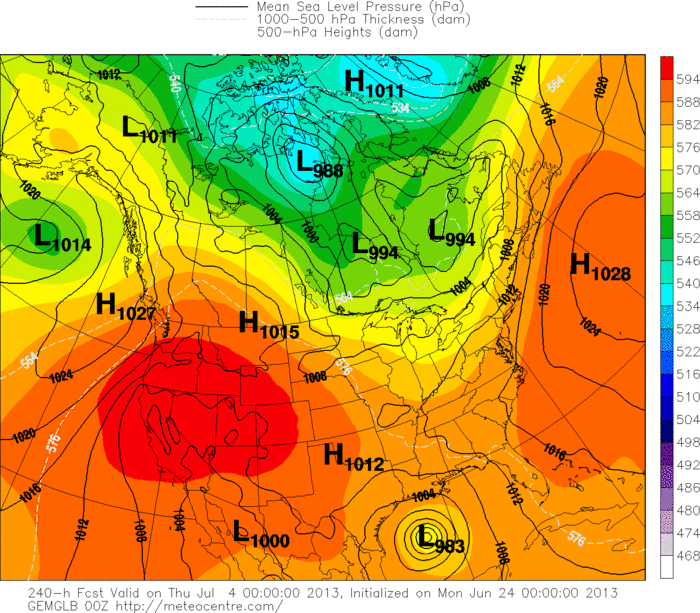
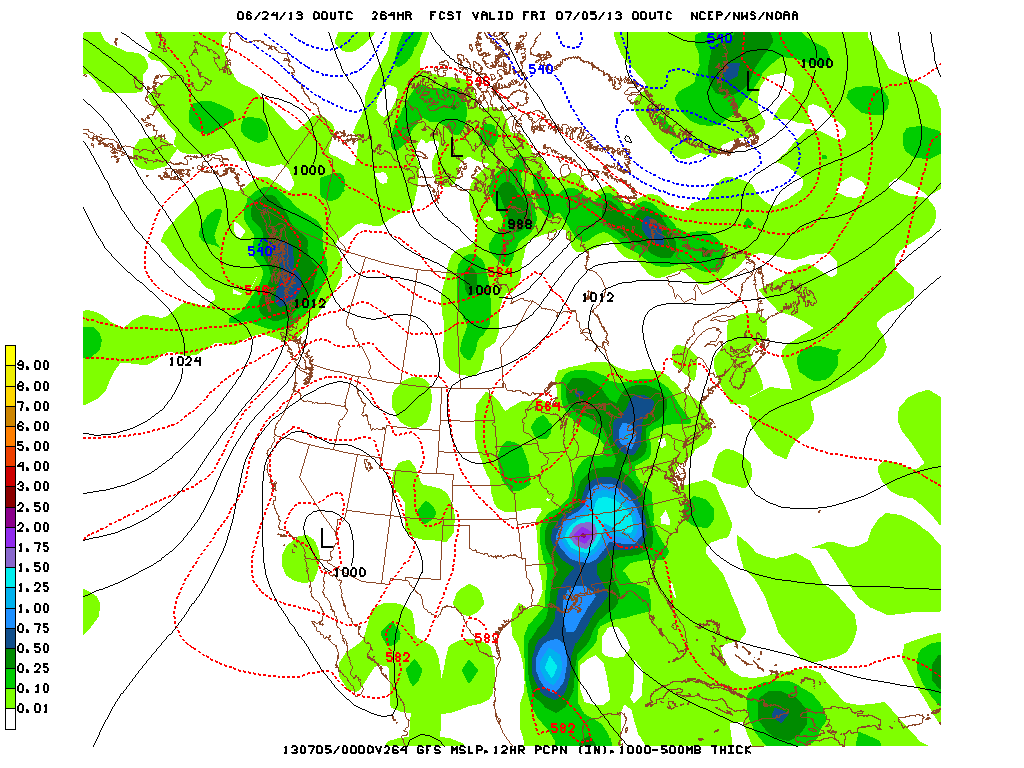
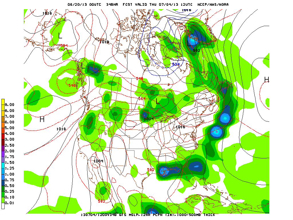
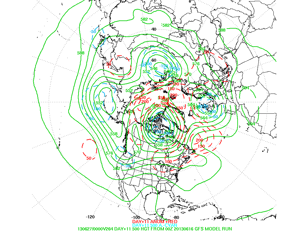
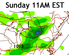
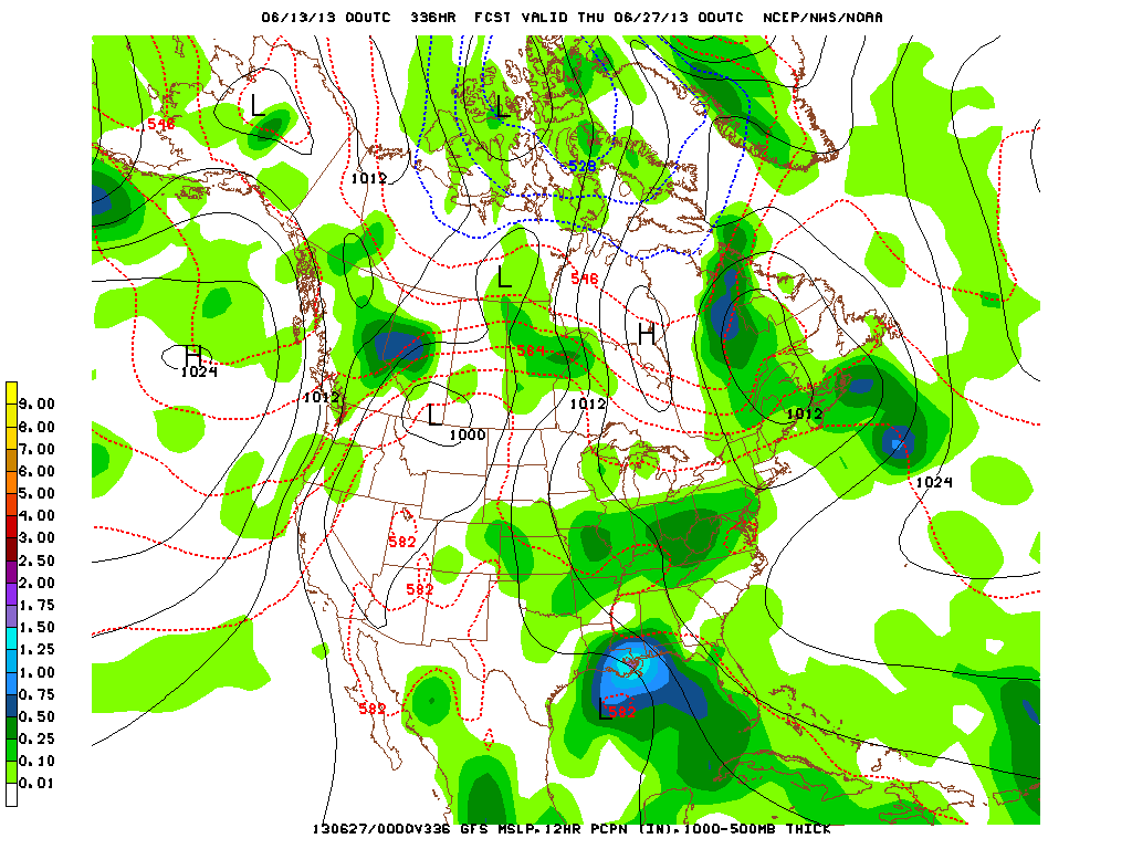
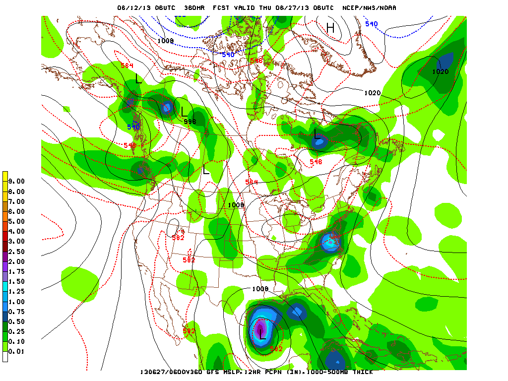
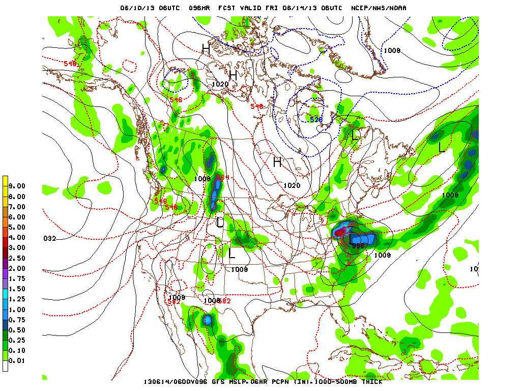
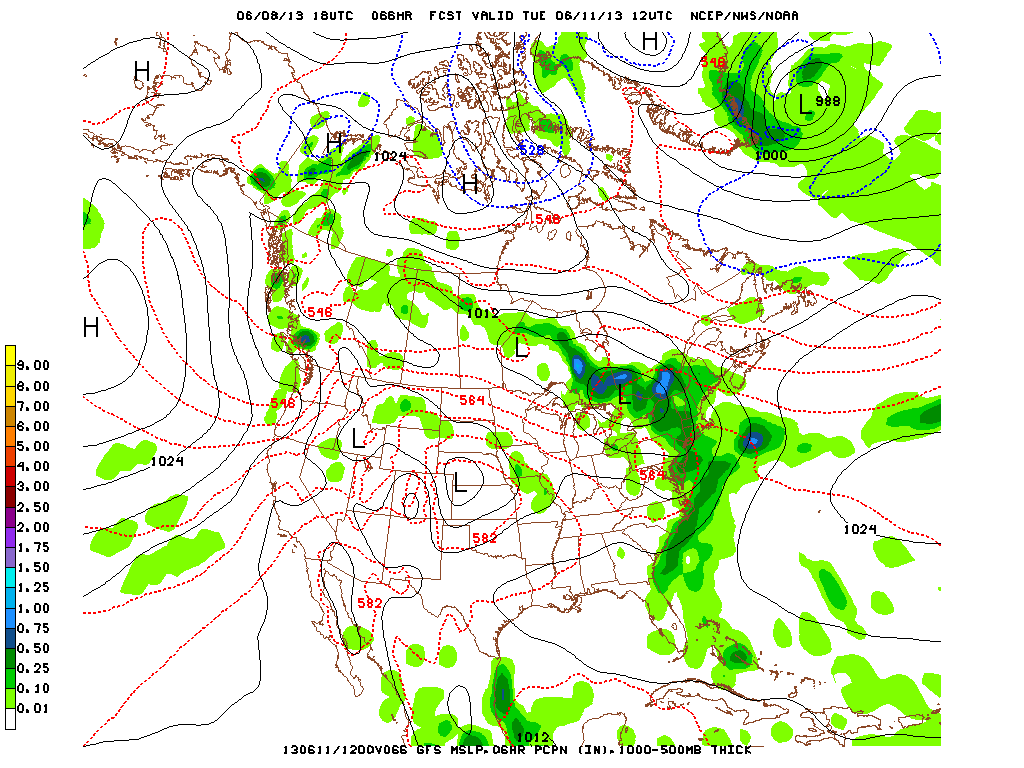
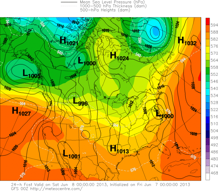
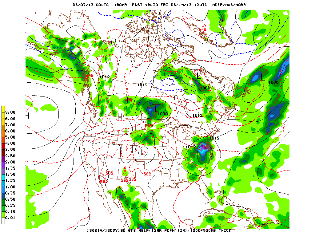
Take a look at the GFS model below from today through Independence Day and you can see why there's a forecast every day for showers/storms:
Take a look at the GFS model below from today through Independence Day and you can see why there's a forecast every day for showers/storms:
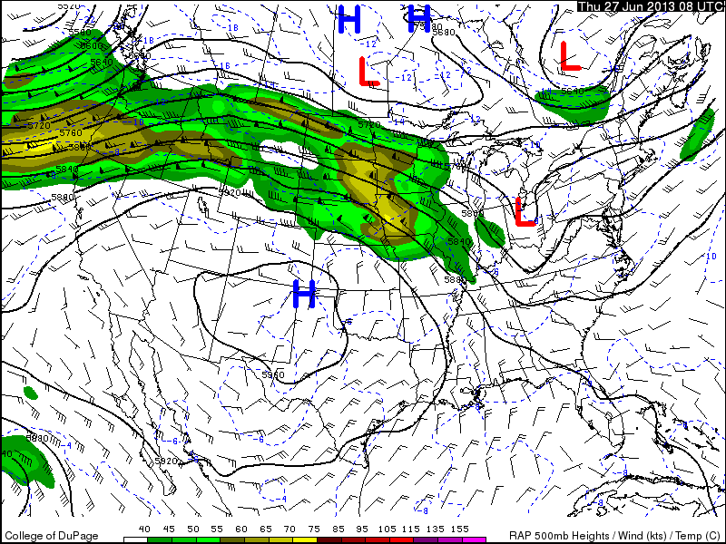
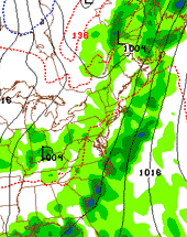  | The Bermuda High that we've been mentioning for the past couple of days is forcing the cold front (seen to the left) to stall out. In the model picture, all that green (and blue) that you see is sandwiched between the now stationary front and the high, and of the southerly winds from the front is continuously drawing up moisture from the Gulf and the Atlantic, meaning that there will always be the chance of a shower or thunderstorm, however it's not always likely that we'll see it. Now, with that said, come the 4th of July there's only a slight chance (20%) of us seeing a shower or thunderstorm pass through, but for most of the day it will be partly-mostly cloudy and relatively dry. Just make sure you have a cover for the grill just in case a stray storm does pass through. -MM |


 RSS Feed
