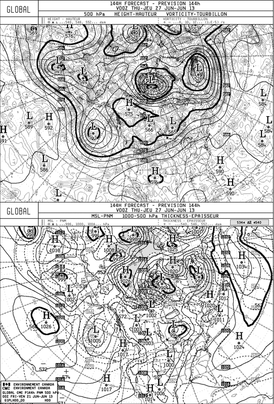
So...now that it's summer.....we can forget saying "summerlike". The weather for much of the Nation will be nothing short of summerlike right into next week. For the Northeast...Mid Atlantic...a coastal trof may result in more thunderstorms next week....otherwise plan your summer activities thru the weekend. Below...a look at the Canadian model for next Wednesday.....The East is Hot...Humid.
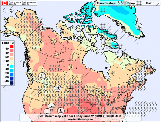
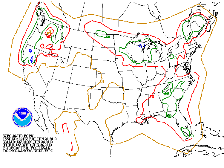
Next map shows weather for much of NA today. Below that the amount of rain forecast for early next week. Let's hope that's not a sign of things to come.
A look at the GFS for 4th of July. Changing it's tune as expected. Hot is the word but wants to bring a front crashing thru the Northeast with storms. Timing is a big issue. That front could move through faster and pave the way for nice weather in the NE. We will continue to track that.
Finally....for what it's worth....here is my long range outlook for Summer in Northeast and MidAtlantic only. Have a nice weekend.
Finally....for what it's worth....here is my long range outlook for Summer in Northeast and MidAtlantic only. Have a nice weekend.


 RSS Feed
