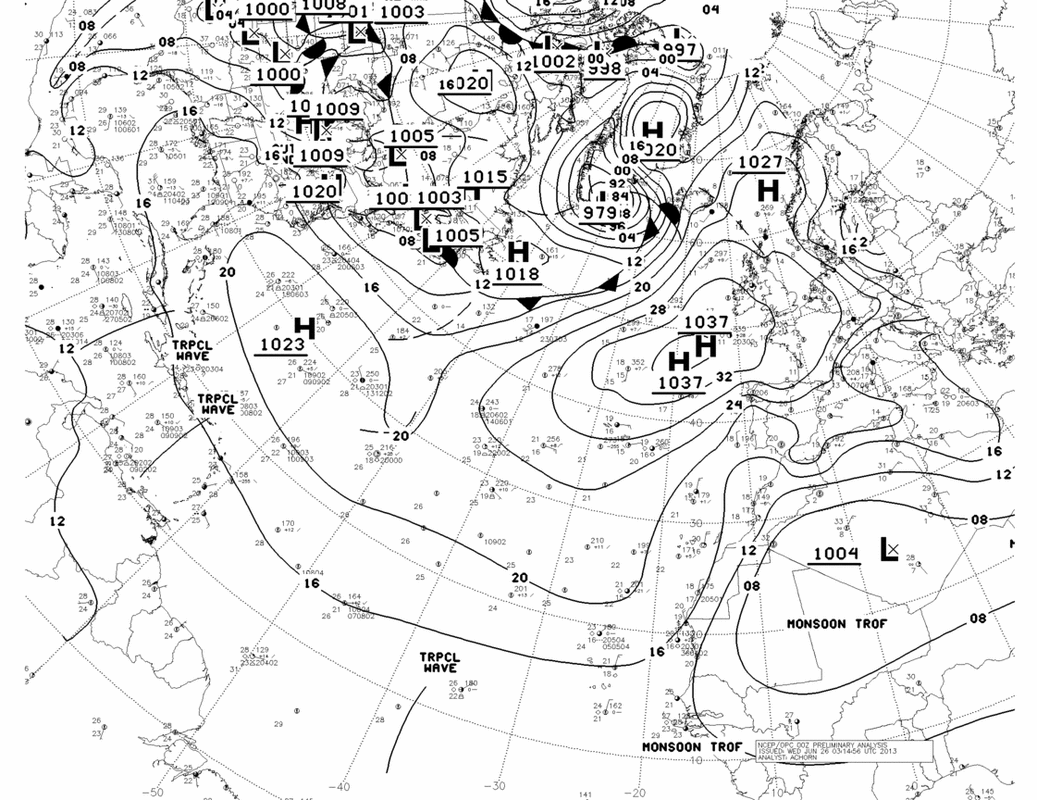
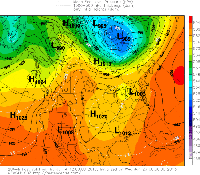
Starting in the tropics.....we several waves and The Canadian Model still picks up on one of them and still wants to bring it into the Gulf Coast around Wednesday next week. From there is moves it north which would bring a swath of tropical rain and t-storms northward across the Eastern third of the nation for July 4th.
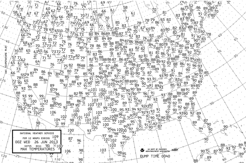
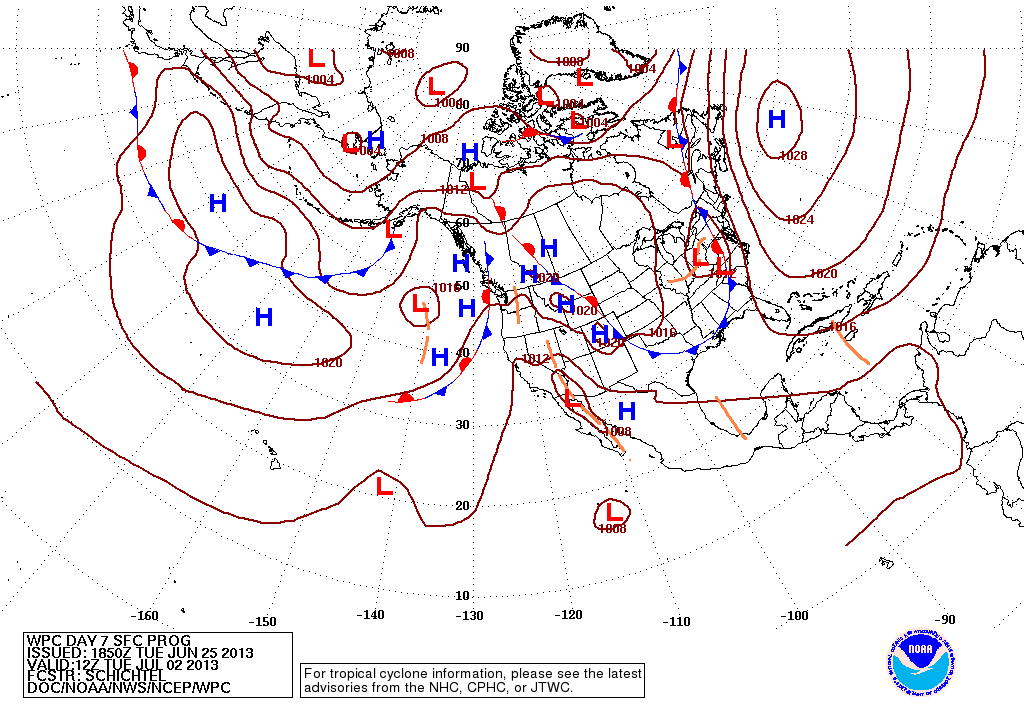
Take a look at the high temperatures yesterday. Not much cool air around...what does that tell you ? The following map shows you the expected surface map for 7 days out....notice the Atlantic high......that's why our weather not changing much. It's anchored and will take some big time weather systems to change that.
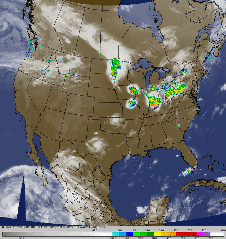
Our combo/satellite pix from this morning shows convection Ohio Valley...heading east where the potential for severe weather exists today Northeast and Mid Atlantic.
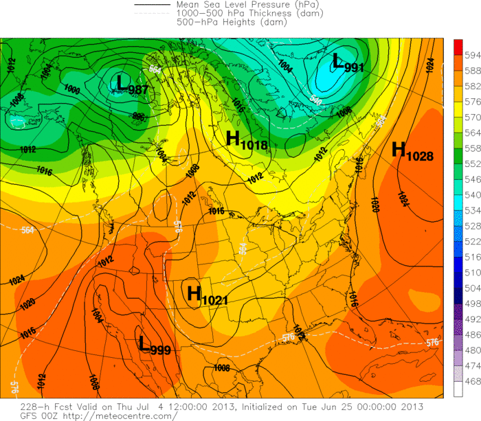
Below....2 charts: first - Canadian model for July 4th. Low you see in Northern Appalachians was once something tropical in the Gulf, second: GFS Model for same time. Not showing anything as far a tropical low....but indicates a very warm..moist pattern.
Finally...a look at the amounts of rain forecast for this up-coming weekend....Nationwide. You can see the soggy pattern depicted for The east......so make your outdoor plans accordingly. Later.

 RSS Feed
