Let's hope the present pattern is not a sign of things to come otherwise most of us will be praying for better weather for vacations. Current weather map looks bland....but the problem is a large pool of cooler air in the upper atmosphere which will head east. It will have to buck the Bermuda high ....so it comes to a stop as it nears Appalachians. This will mean continued humidity with a better chance of showers and thunderstorms each day from Friday into next week for much of the
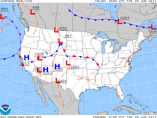
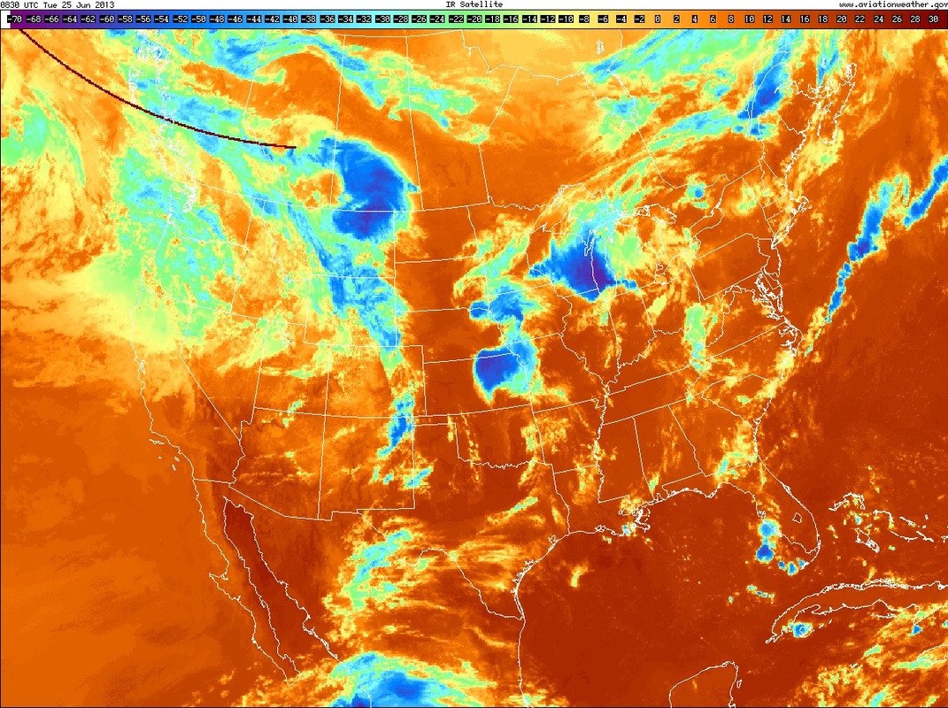
East Coast. This a.m. weather map below....followed by an i.r. satellite picture showing where the storms are. (Just look for the bright spots).
East Coast. This a.m. weather map below....followed by an i.r. satellite picture showing where the storms are. (Just look for the bright spots).
A quick look at the tropics...see an easterly wave in the Gulf. Could this be the disturbance that the Canadian makes into a hurricane and threatens the Gulf Coast around July 4th ?
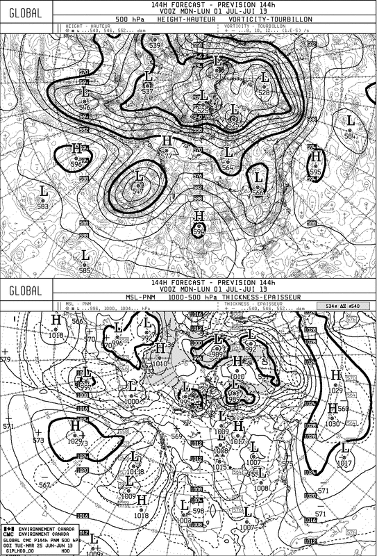
A look the the weekend Canadian clearly shows the trof along the East. You can easily see how the 2 systems....high to east....will just channel the moisture up the East Coast.
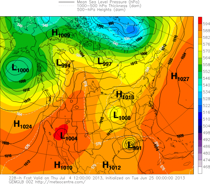
Finally..a look at the GFS for July 4th. Doesn't show a hurricane...but it doesn't show sunny nice weather in the East either. Following map is the Canadian for July 4th...which takes a hurricane into New Orleans.
No other model indicating such....but again The Canadian Model insisting on this feature for several runs now. Even though this is the bottom grid of the model....they have improved the output and it has been handling southern systems much better. Let's hope it's wrong. Stay cool....later !
No other model indicating such....but again The Canadian Model insisting on this feature for several runs now. Even though this is the bottom grid of the model....they have improved the output and it has been handling southern systems much better. Let's hope it's wrong. Stay cool....later !

 RSS Feed
