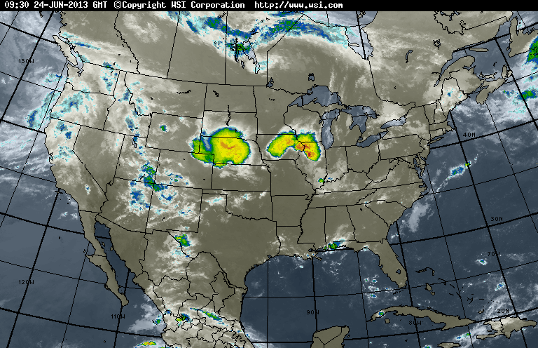
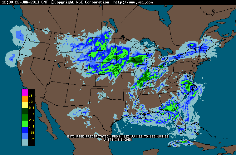
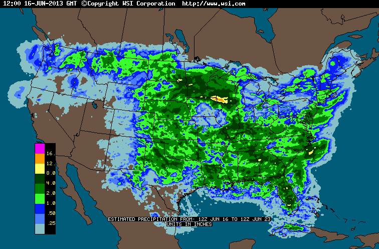
With a large ridge - surface and loft in the Atlantic....weather is not going to change much for Eastern Half of the Nation. A cold front will move across the Midwest and cool them down....but I don't know how it will buck the ridge in the East. Satellite picture below shows much of the Nation rainfree. Following 2 maps show estimated rainfall for today and then for the week. Clearly...by end of the week much of the Nation will be on the wet side.
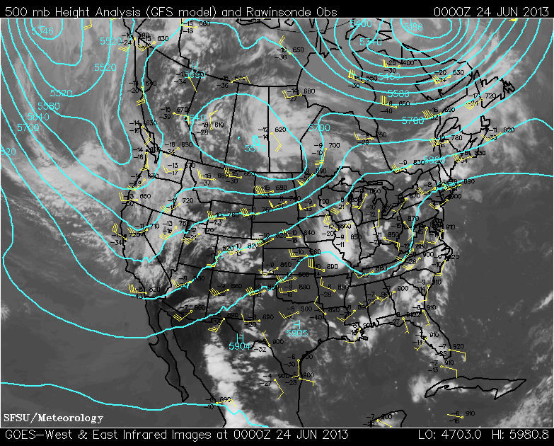
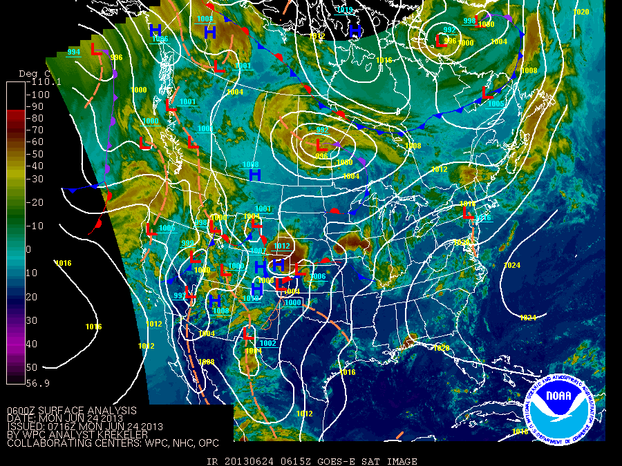
Our next pix shows satellite superimposed 500 mb flow....allowing you to see that high off the East coast. Following map is today's weather map.
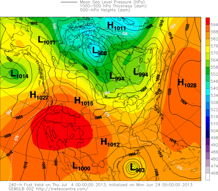
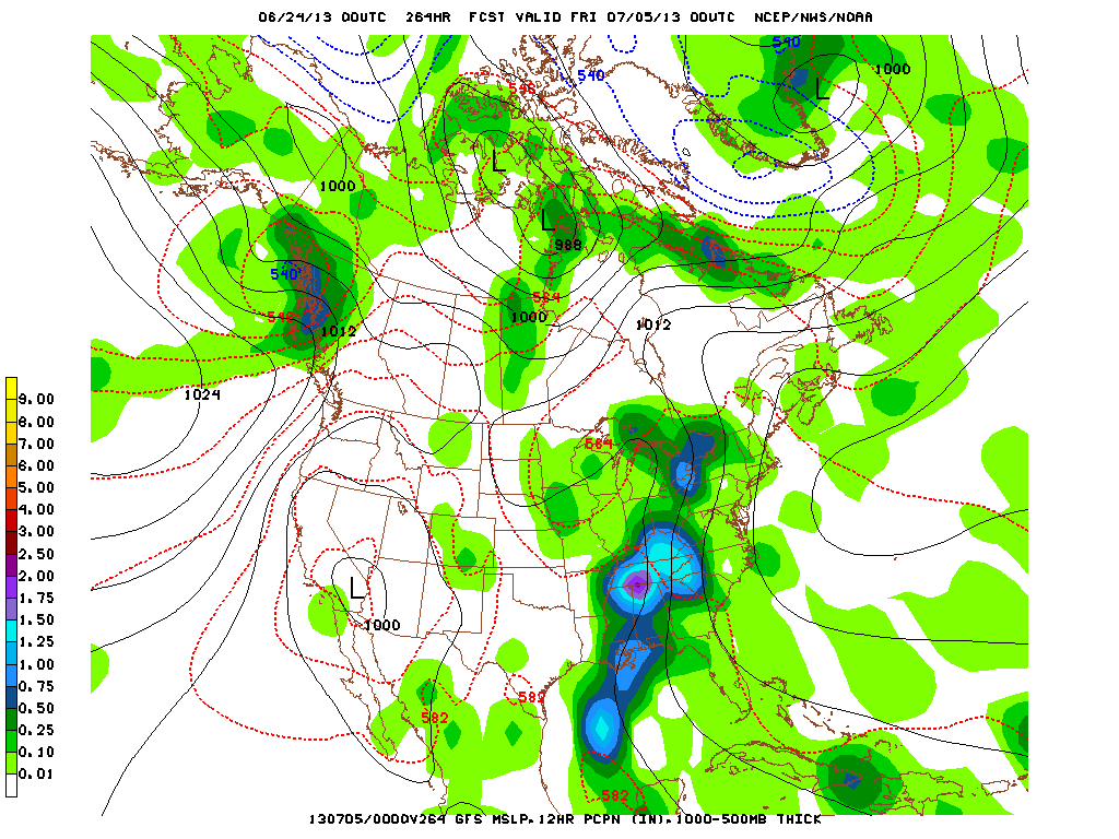
Finally....a look at the Canadian for 4th of July....depicting a hurricane for the Gulf Coast.......while below it...The GFS showing heavy rain and storms for The East Half of The Nation. Hard to say is heavy storms will be over Ohio Valley to Northeast....but it doesn't look encouraging. Keep cool...later.

 RSS Feed
