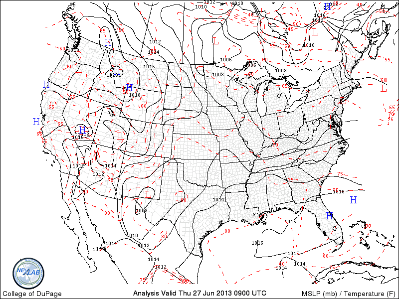
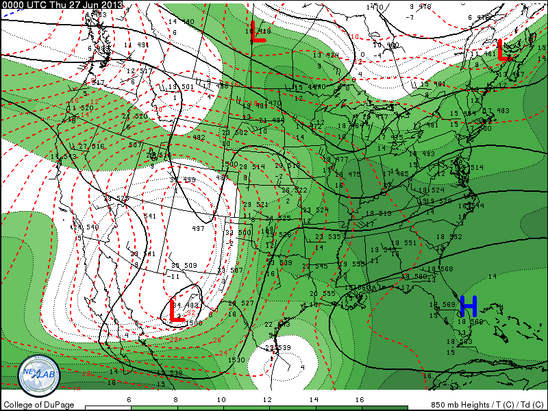
As blocking continues in upper air....weather systems will be way off the board. Extreme heat will take over in the West and into Canada...while an unusual trof in The East will stall and then retrograde west next week. Warm..humid weather sticks around for The Eastern third of The Nation beyond 4th of July. A conveyor belt of tropical moisture will be found up and down the coast....sometimes staying inland...other times right across coastal areas. Timing on such almost impossible. The following maps indicate temperatures and pressure.....followed by 850 Mb (5000ft) + dew points (green).
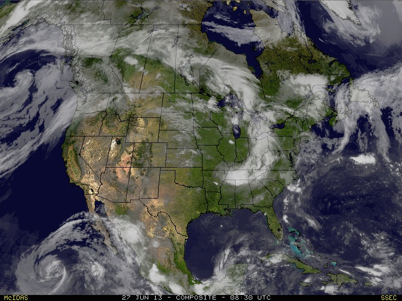
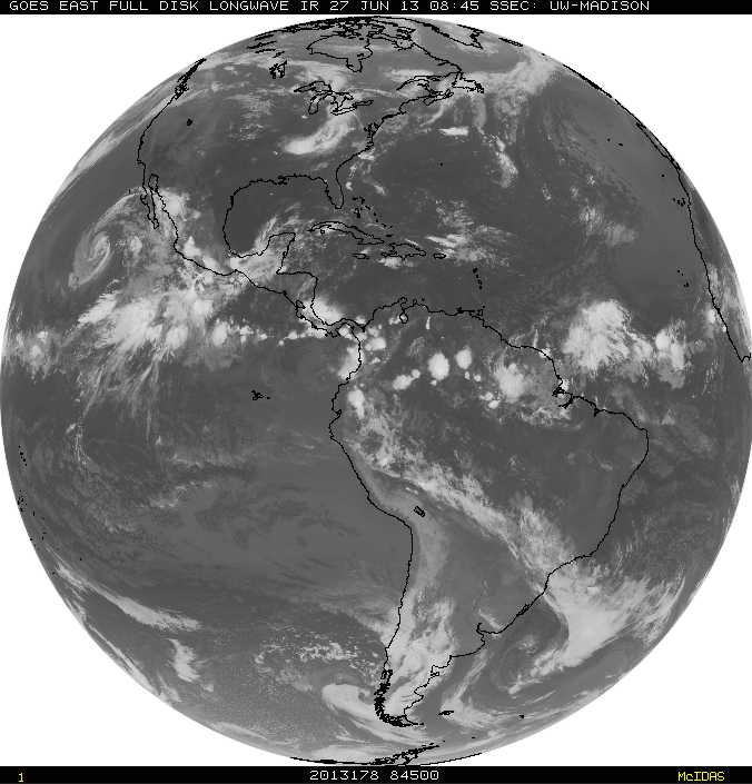
First satellite shows current pix across the US.....quite a tropical system off Baja Ca. Second picture is a shot of the tropics and interesting system coming off Africa.....little early in season for that however.
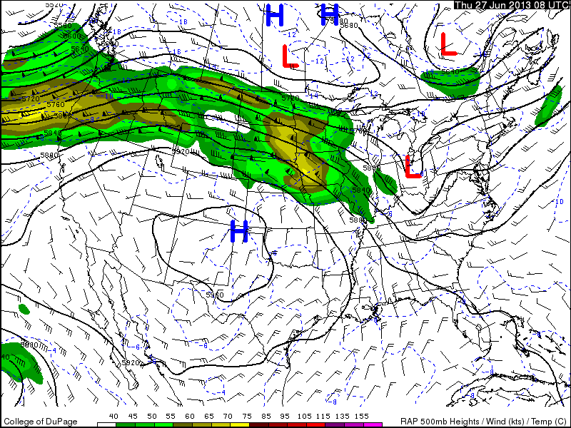
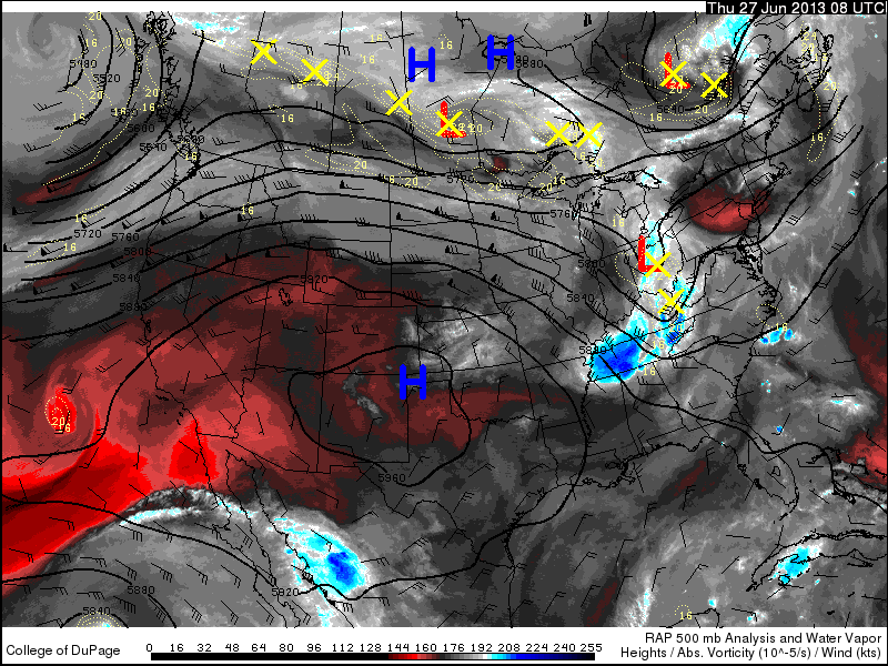
In this order below....500 mb level (18,000ft) + moisture + jet stream.
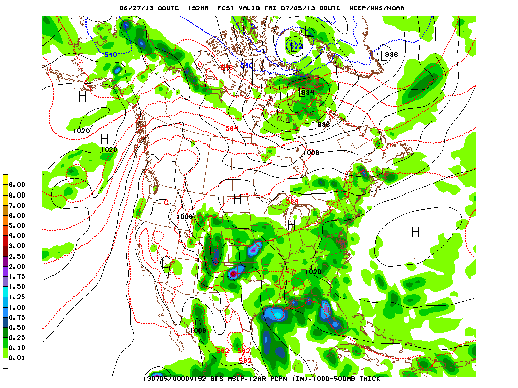
Now....we take a look at The GFS + Canadian for 4th of July. They both indicate very sticky air....but Canadian shows ridge from Atlantic pushing west and that could keep the coast clear...so to speak. Tough call now for then.
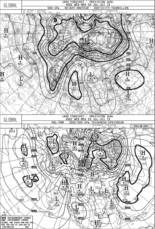
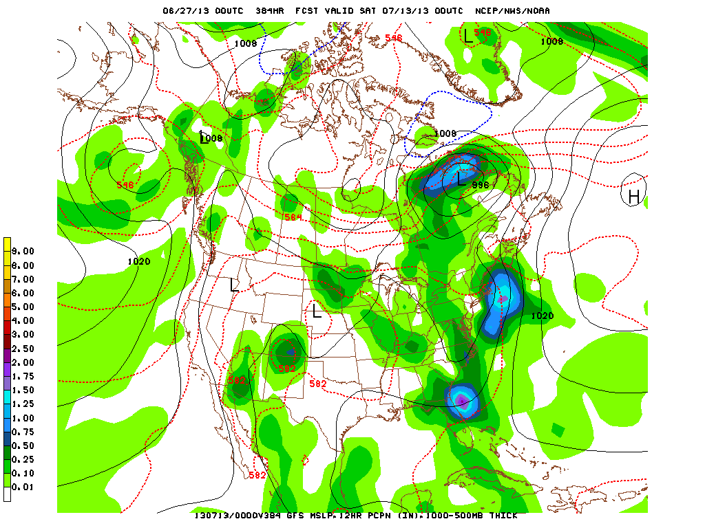
Finally....take a look at the GFS for 384 hrs.......doesn't look too much different from present. What does that tell you. Keep the ac running. By the way....Canadian backed off on any significant tropical system. Later.

 RSS Feed
