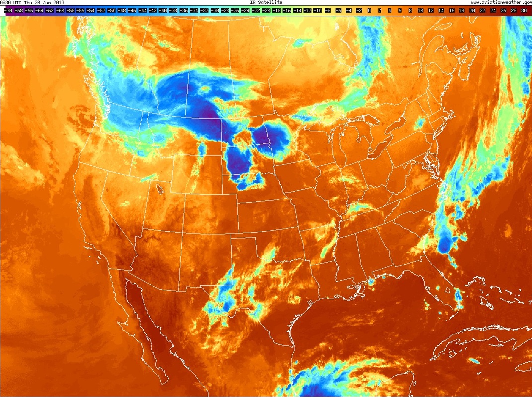
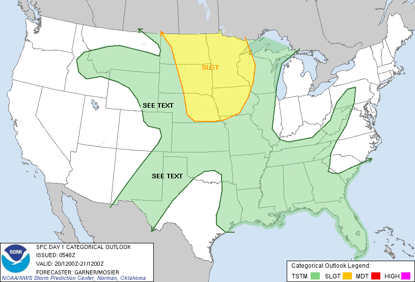
Summer officially arrive at 1:04am Friday...Eastern time...and the weather will turn quite summerlike thru much of the Nation. Even though models are not indicating a strong sense of heat...this pattern tells me that as we move into July - 100 degrees will not be uncommon as far as New England. Meanwhile over the next 3 days - most of the Nation's severe weather threat will be in the upper Midwest. The 2 charts below...1- ir satellite...showing the threat in Northern Plains...2- severe weather threat depicted by Severe Storm Center.
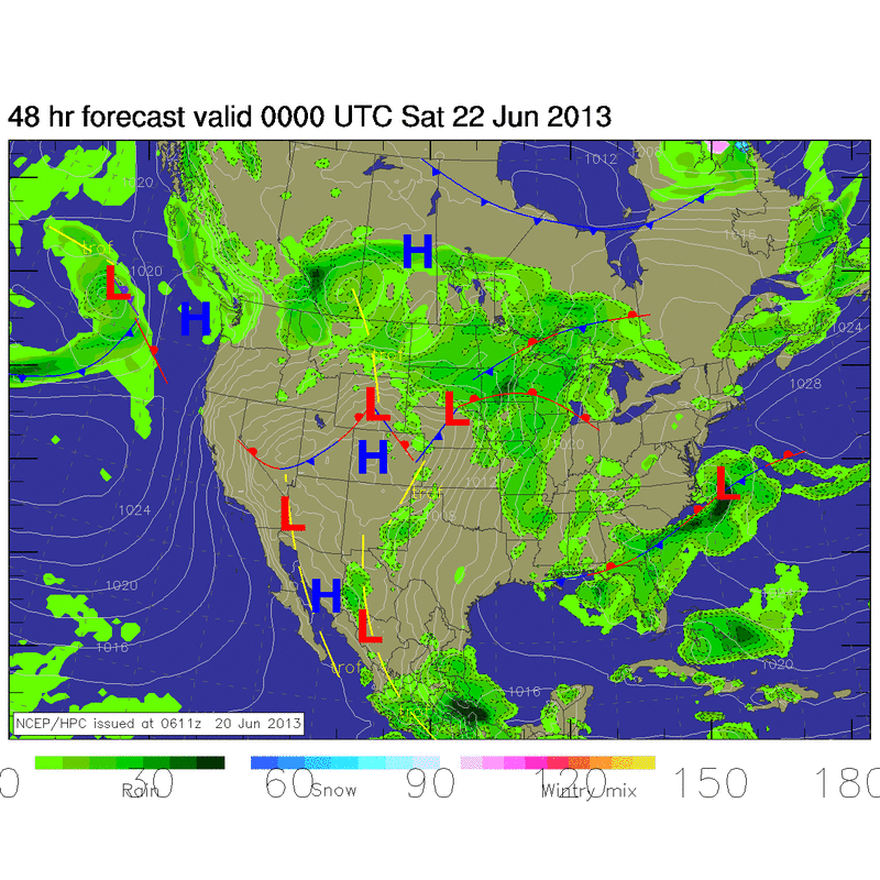
By end of the week, this is what the map will look like...clearly showing a summer pattern.
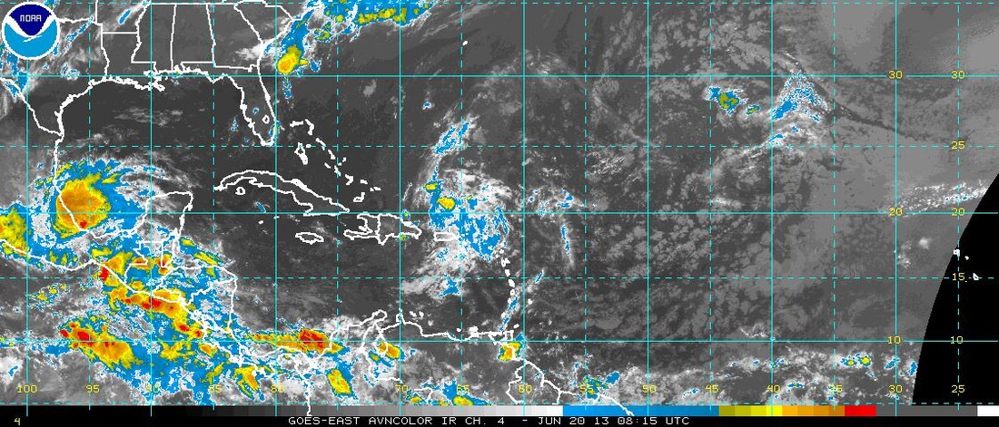
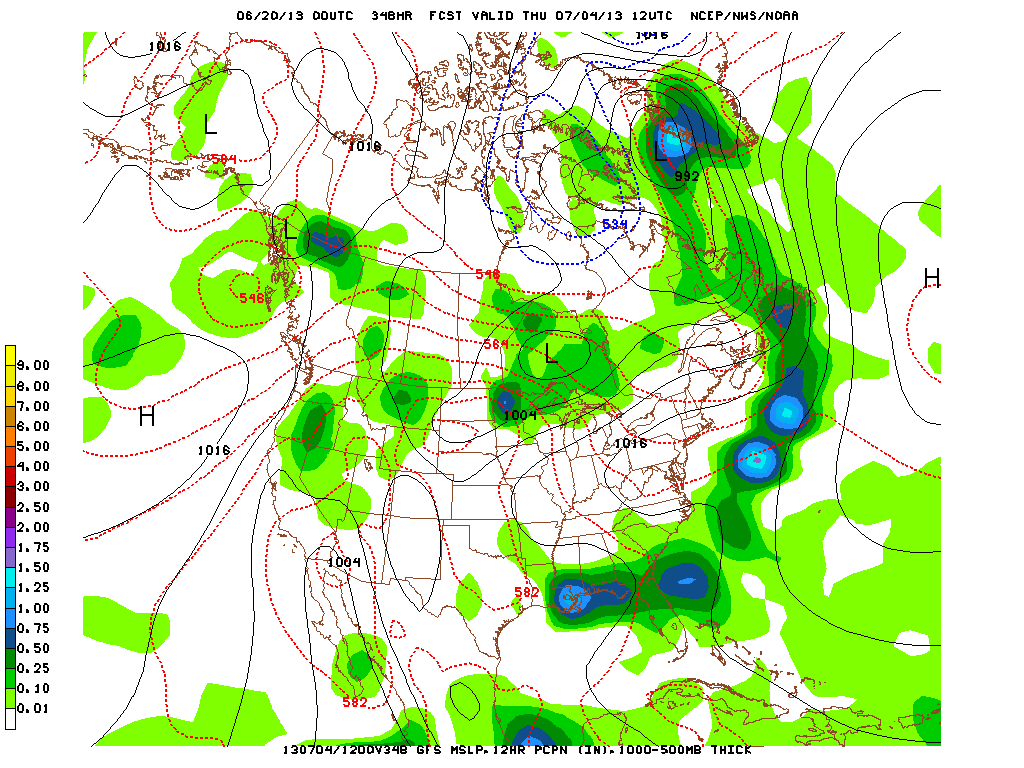
Here is the satellite pix showing the disturbance in the Atlantic which we were watching yesterday. Doesn't look as good ...but could still turn out to be something to watch. Lastly....let's see how good the GFS will be with it's long range prediction for 4th of July. Looking quite warm but dry for Northeast. Later.

 RSS Feed
