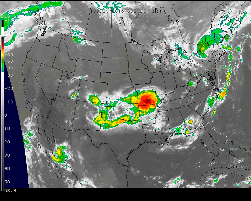
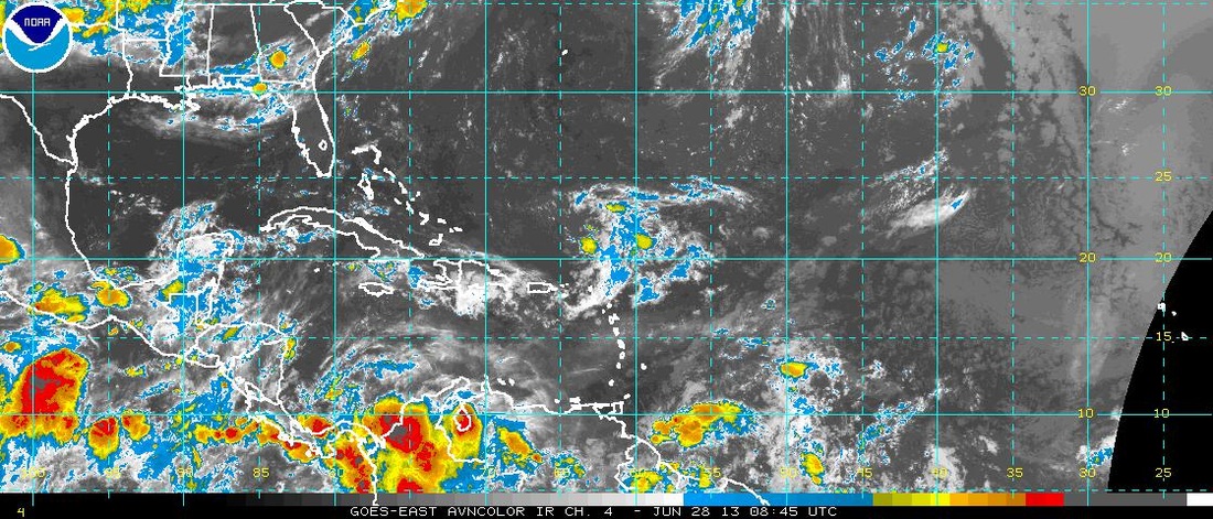
Extreme heat will continue to intensify across the West this weekend into early next week with some places setting daily...if not all time high records all the way into Canada. In the East...a stalled front will keep the threat of showers & thunderstorms going....and many places will get dumped on. Latest satellite shows wet weather in Northeast and
lower Mississippi Valley.
lower Mississippi Valley.
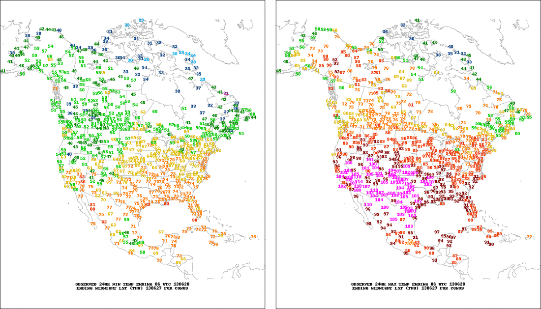
Yesterday's highs and lows.....purple indicate 100 +.....that will expand north. Notice 90's in Alaska.
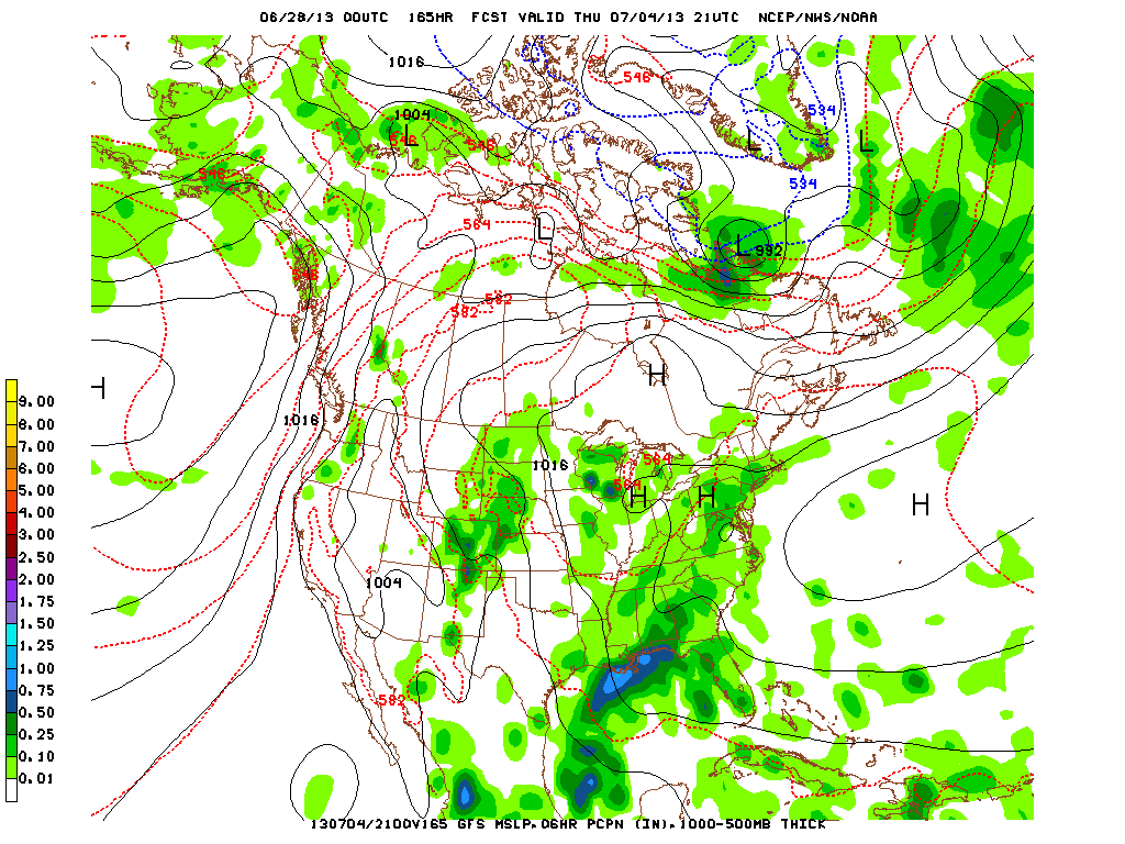
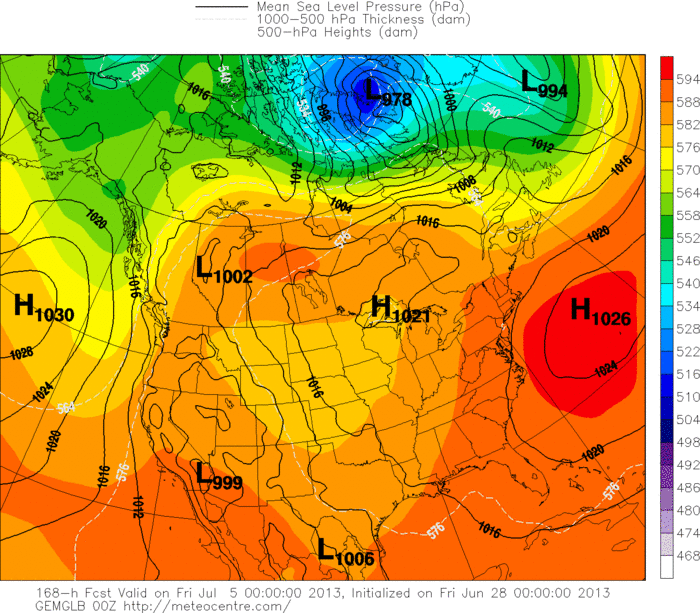
Here is a look at GFS then Canadian for 4th of July. Both models indicate sticky weather...with scattered thunderstorms for much of The East.
Tropics....quiet.....should stay that way with this pattern.
Weather or not....try and have a nice weekend and be safe. Later.

 RSS Feed
