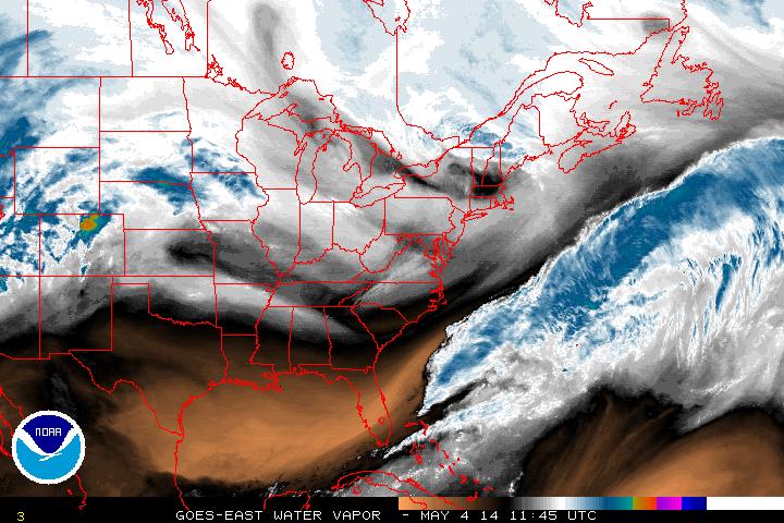
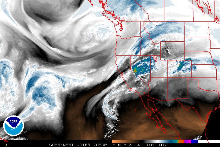
A dry Sunday for much of the country. A small dip in the jet stream for the northeast will provide some more scattered rain shower activity today. The below image shows water vapor for the eastern sector of the US this morning and also the referenced weak trough.
A clearer representation of the state of the jet can be seen in a 500mb heights map below (also with infrared integrated in) from 12Z this morning.
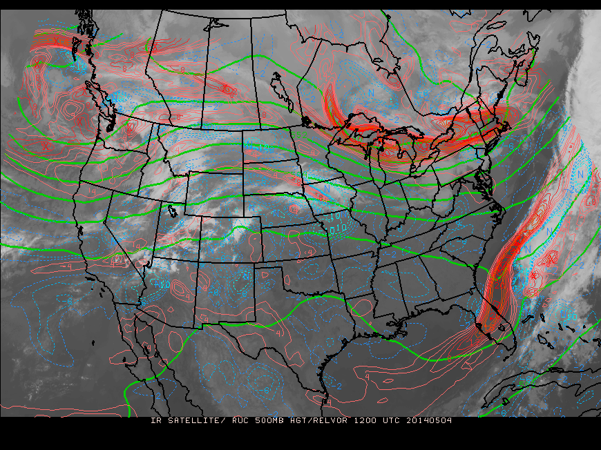
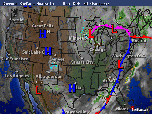
This image also does a good job of showing circulation off the Pacific Northwest coast. Into next week, this trough will dig deep into the Midwest, grab moisture from the south and be a weather producer starting Thursday. Below if a GFS model output for mid-Thursday (click the image to enlarge).
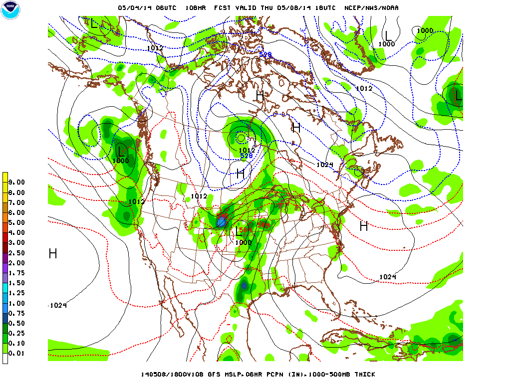
There is the potential for severe weather once again, so this will be closely monitored in the week ahead.
Enjoy your Sunday!
- JL
Enjoy your Sunday!
- JL

 RSS Feed
