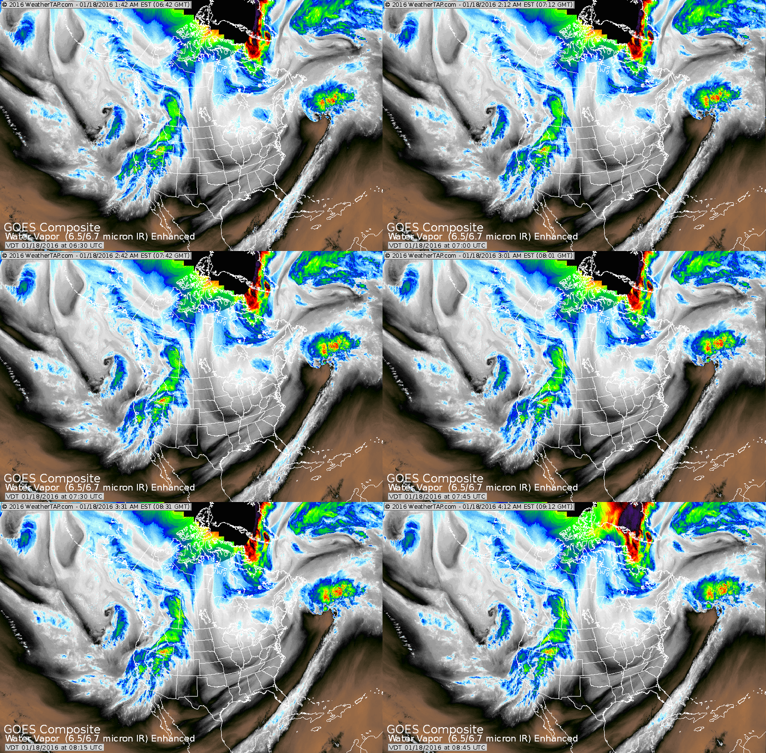
Enhanced satellite shows jet stream diving down the Plains...across the Gulf States and then up toward the Carolinas. This flow will basically remain through the week and when the storm out west comes east....a big winter storm is possible for places along the coast that have not seen a snowfall yet this winter. Places like Northern New England may
escape....but places like Delaware may not.
escape....but places like Delaware may not.
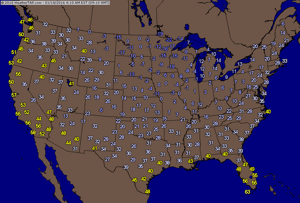
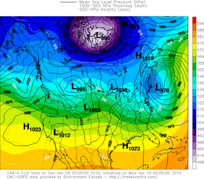
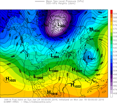
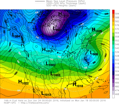
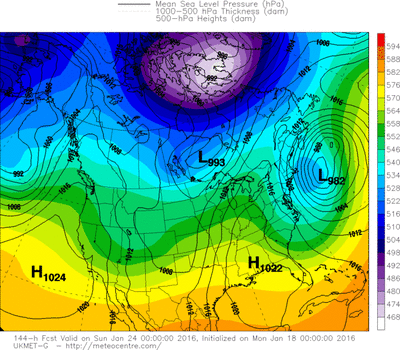
These are actual early morning temperatures.....notice freezing down to Texas and Louisiana. Below.....the various models on Friday's potential winter storm for the East Coast. The only model that is out to east....is the UKMET.
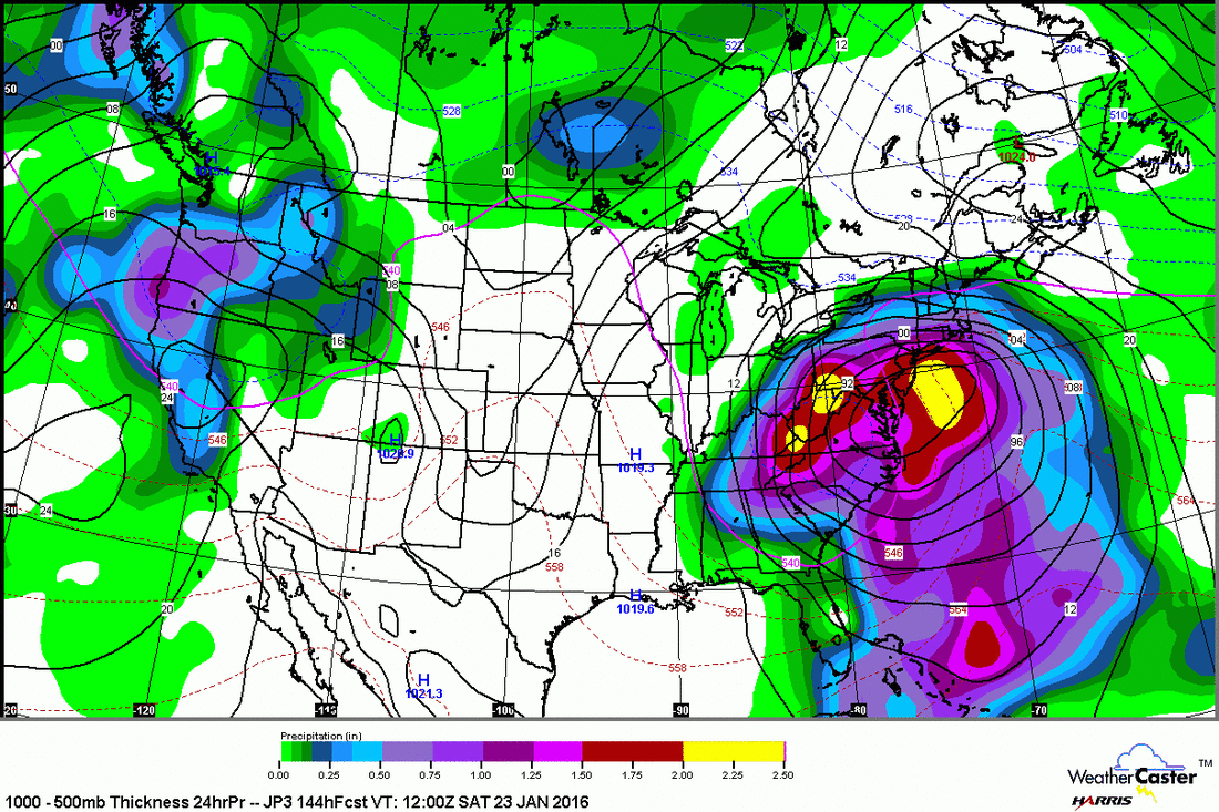
The model below is The Japan Model...it is trying to keep the storm just inland producing a wintry mix across the coastal
areas...nevertheless...a big storm by the Japan.
areas...nevertheless...a big storm by the Japan.
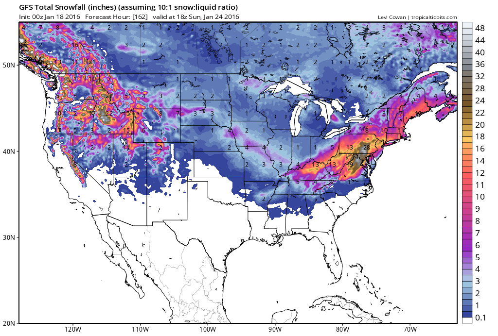
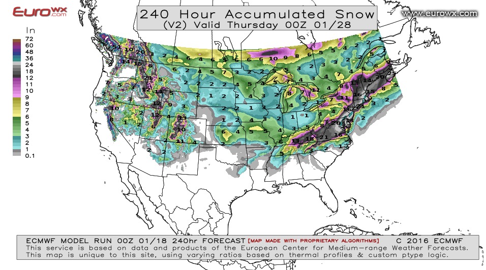
Below....total snowfall predicted by first: GFS....second The Euro. Both models give places like NYC over 1 ft. over snow...with the Euro sporting 20" +. We'll continue to track this and keep you posted. Stay safe.

 RSS Feed
