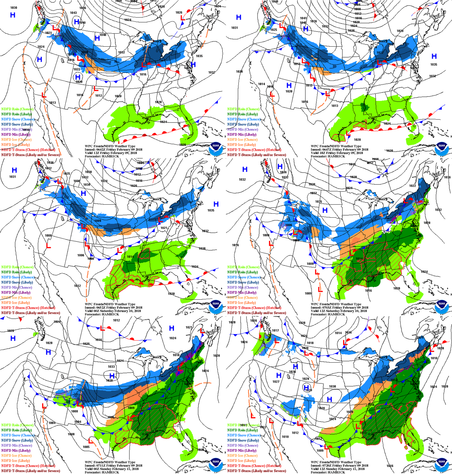
Satellite + radar show Chicago snowstorm headed east and then turning Northeast. It will bring some snow to Northern New England but in a considerably weaker form. Moisture in the south heads northeast and rain is expected in the East from Saturday nite thru Sunday - heavy at times...which will result in local flooding there. Below - expected snowfall over the next 5 days....plus animated maps for the next couple.
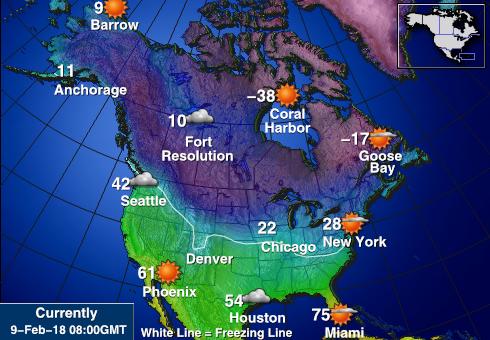
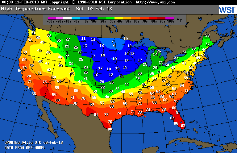
Above - early morning conditions.....below - high temperatures to start your weekend...Saturday.
Below - upper air flow. Trof axis center Nation...thus they are getting the snow while the East is borderline. If that trof moves slight east...wintry weather will return to the east full blast. That may happen but only in spurts after next week. Have a nice weekend and be safe.


 RSS Feed
