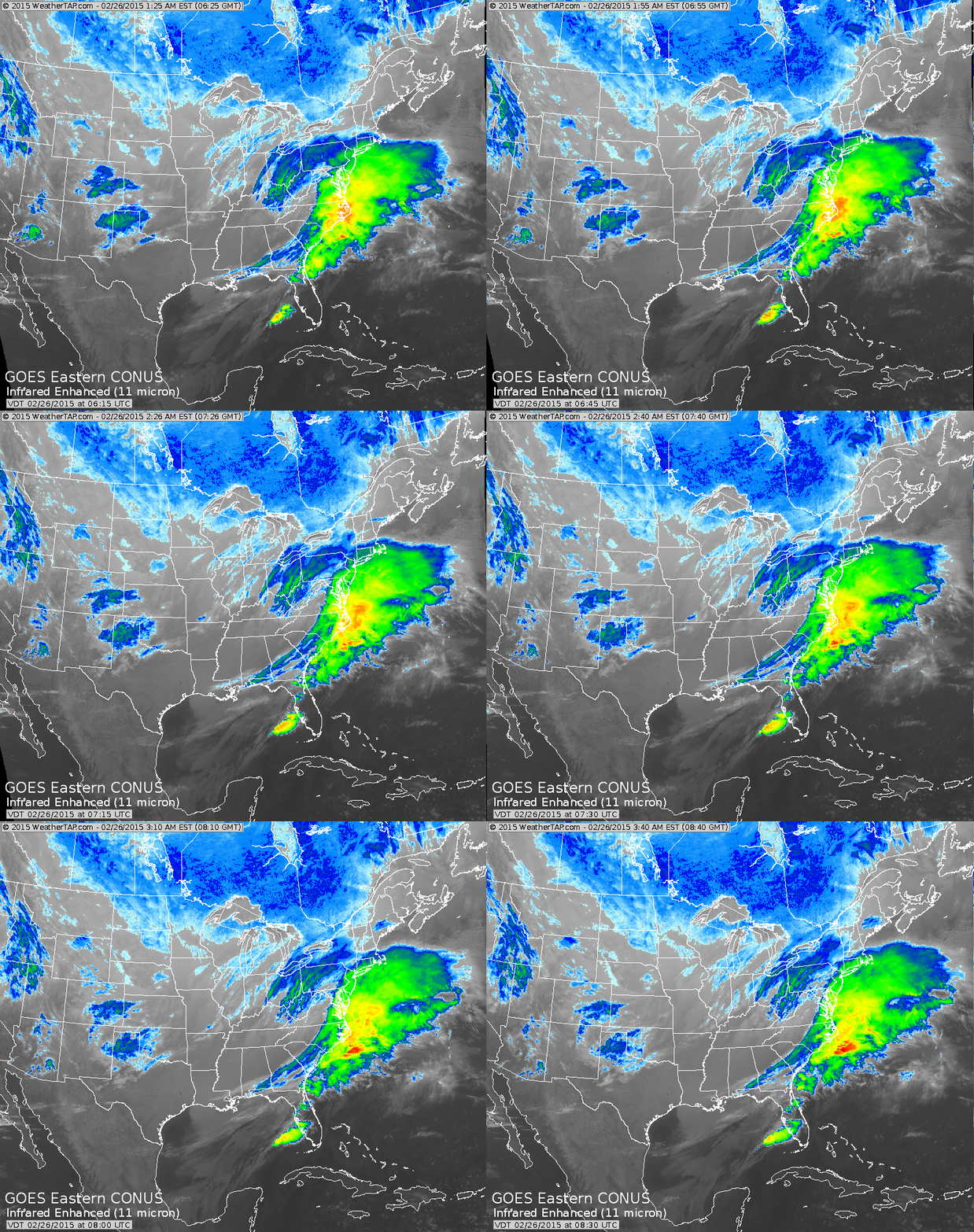
The last in a series of southern lows will move off the coast today perhaps just shaving Long Island with snowshowers.
Cold arctic air....but dry....returns for late week and weekend....Eastern Third....while some unsettled weather moves into Central sections this weekend.
Cold arctic air....but dry....returns for late week and weekend....Eastern Third....while some unsettled weather moves into Central sections this weekend.
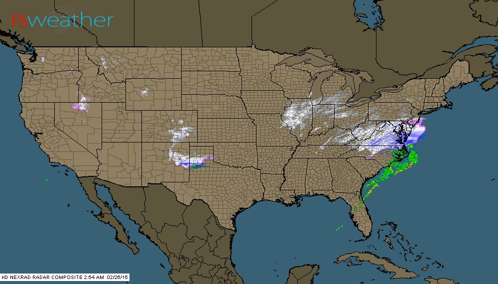
4am Radar shows snow over Mid Atlantic moving east. Snow Midwest....will slowly weaken.
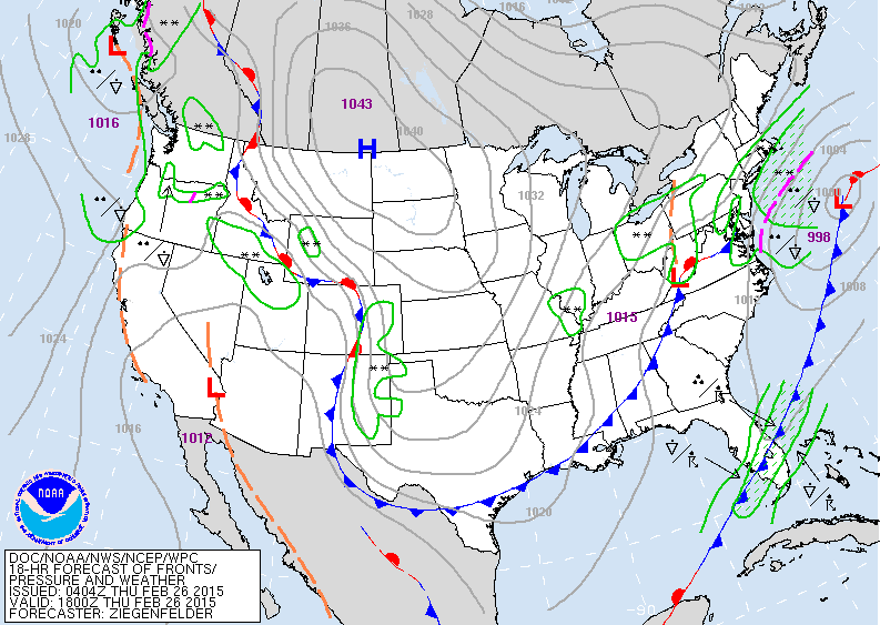
Map above shows southern storm moving out to sea while cold front pushes thru Appalachians. Cold dome of high pressure will dominate much of the nation east of the Rockies.
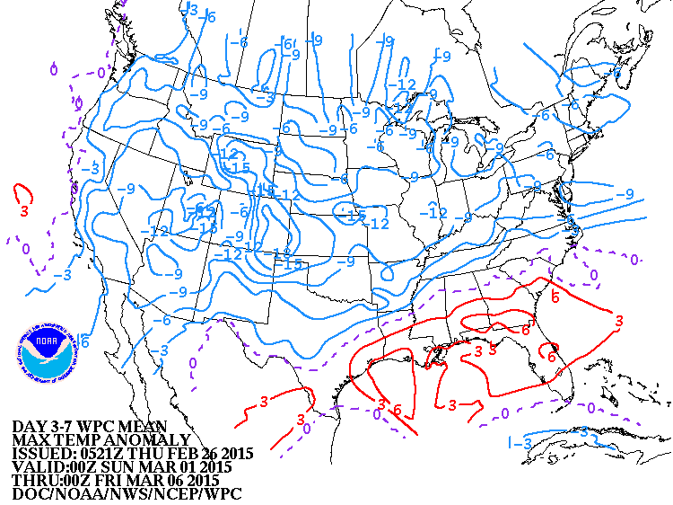
This map shows how daytime temperatures will average for the first 6 days of March. Even though they are below average...it's still a far cry from the 15 to 30 below average that we have been dealing with. Be safe....later.


 RSS Feed
