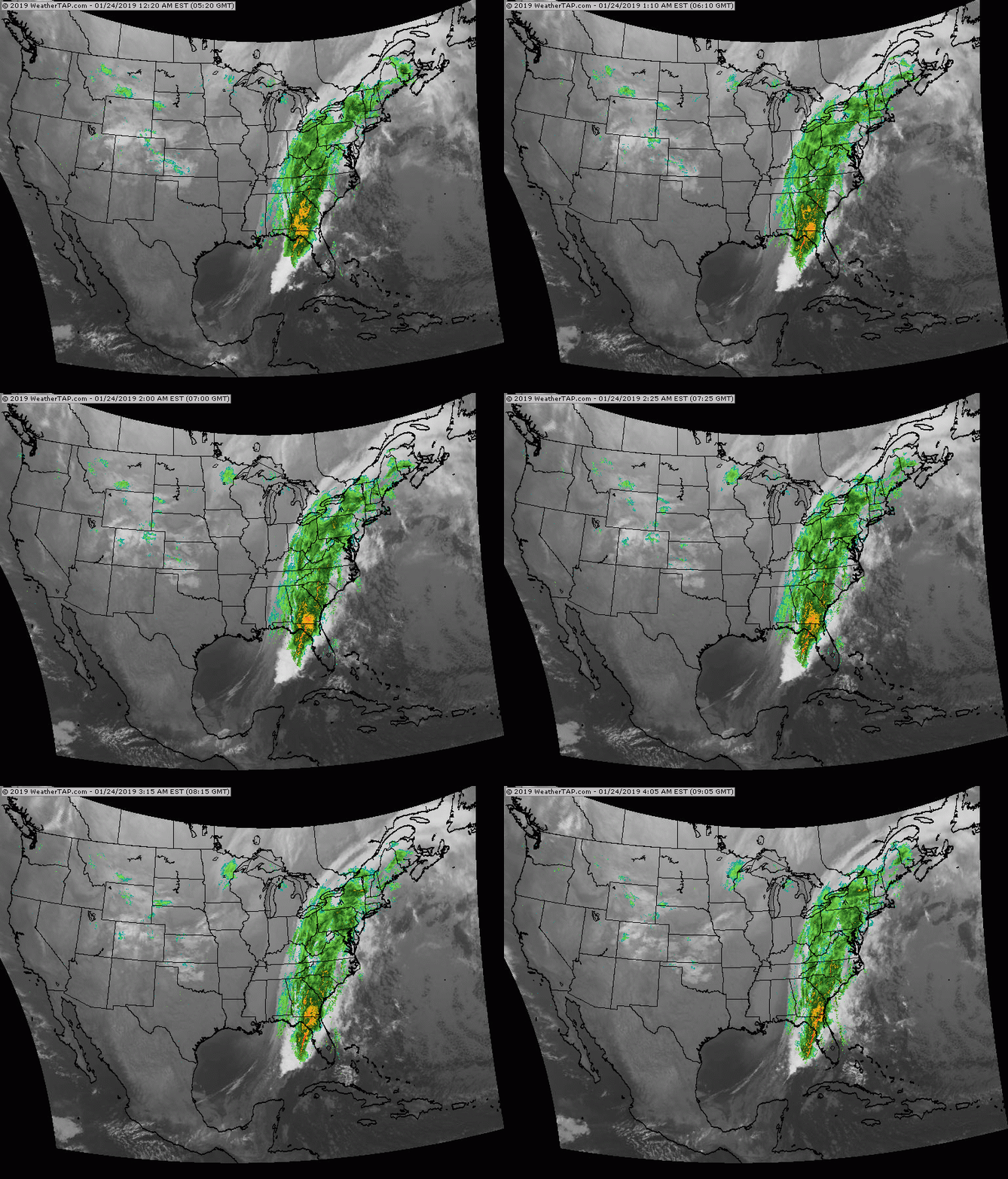
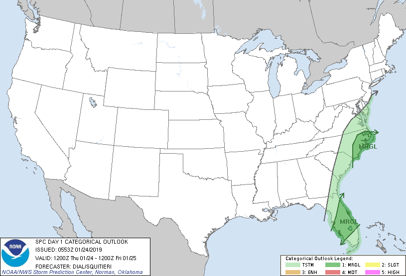
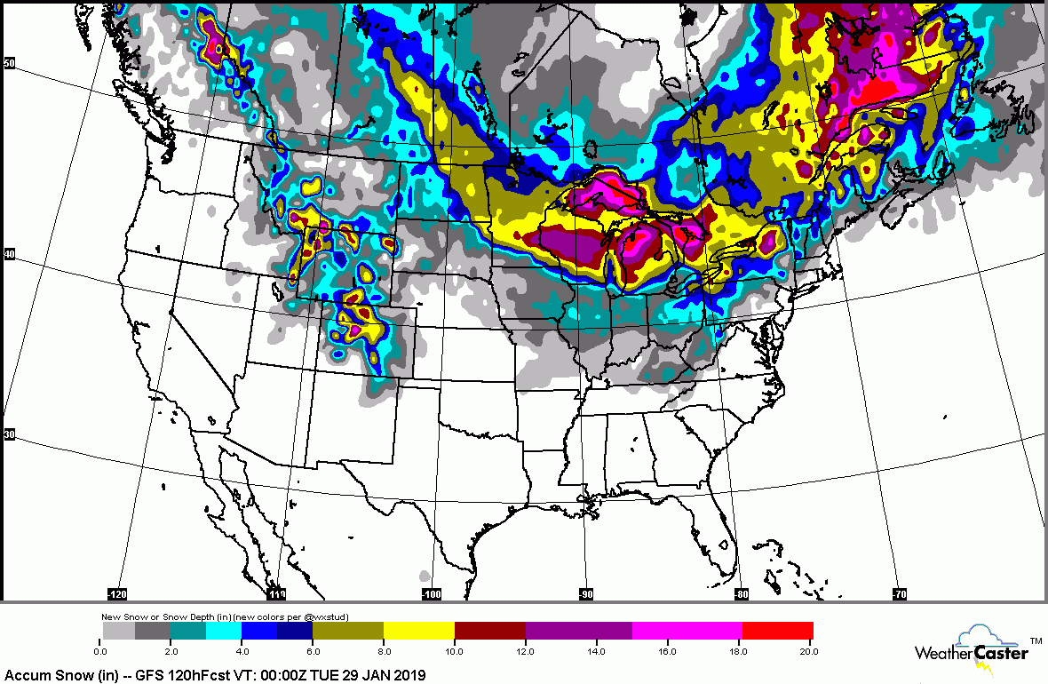
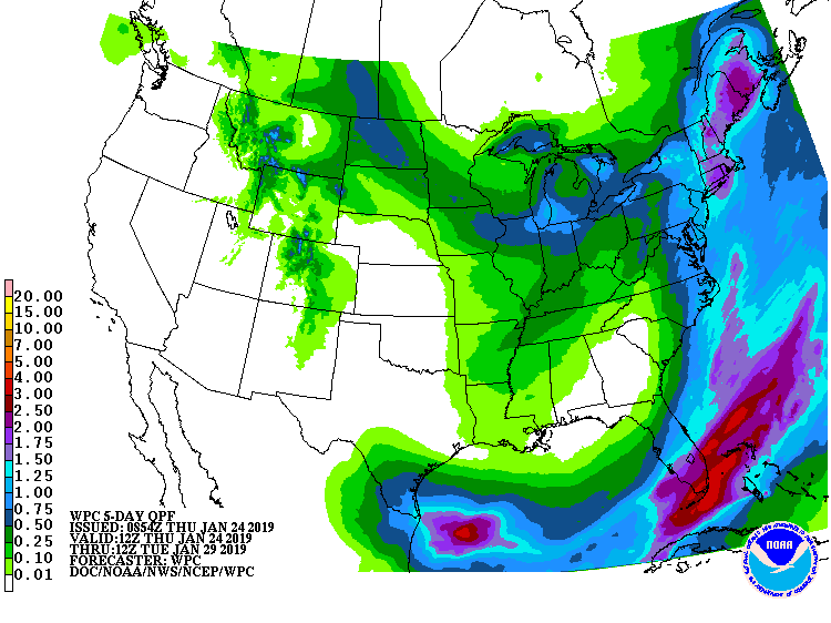
Satellite + radar shows front in East with heavy rains and thunderstorms .Gusty winds for Northeast today...as temps head for 60 in NYC. You can see arctic air plunging through Plains..and it's just the tip of the iceberg as an even colder air mass will grip the Eastern half of the Nation before the month comes to an end. Below - today's risk of severe weather in green......followed by snowfall and rainfall predictions through the weekend.
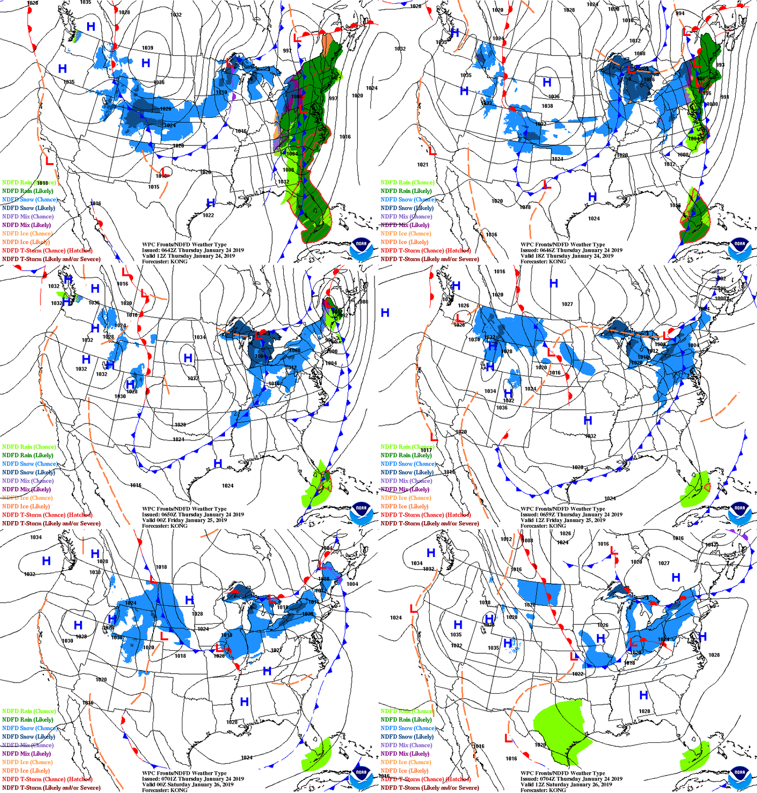
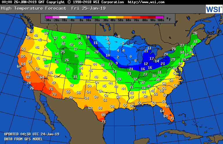
Below - animated maps for the next 2 days followed by high temperatures for Friday. Be safe.

 RSS Feed
