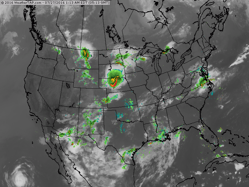
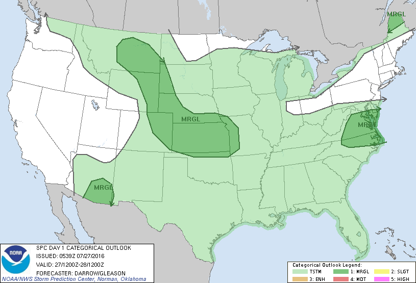
Satellite/radar shows a stalled front over Mid Atlantic. Cold front over Plains will head east and merge with stalled front and this could bring heavy rains from Ohio Valley to Mid Atlantic. Threat of severe weather today is marginal...in dark green below.
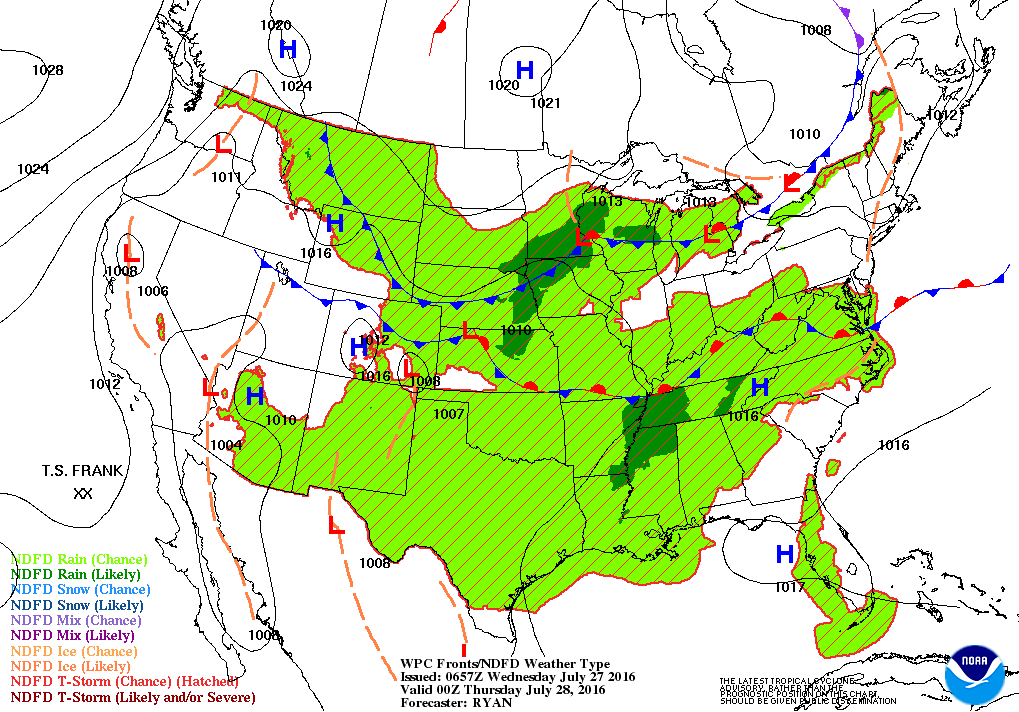
Below...map for this evening showing these fronts and the extensive area of moisture that will sit over the Nation.
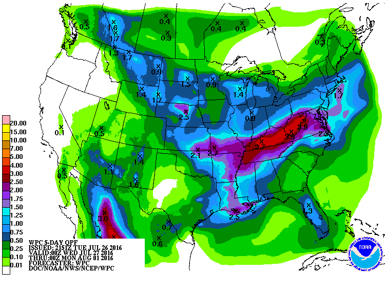
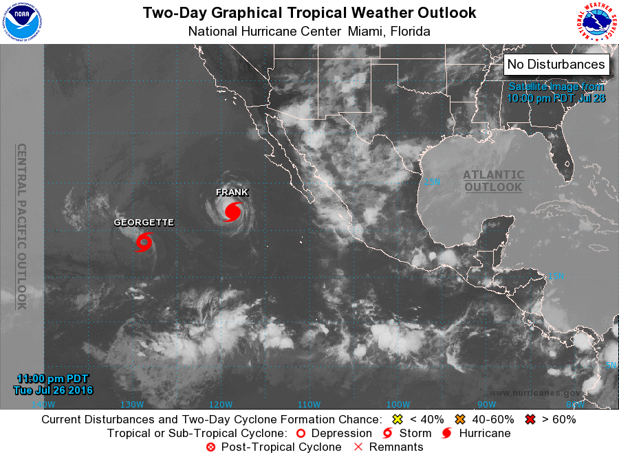
Rainfall projections for the next 5 days ......red - heaviest from Ohio Valley east. Below....tropic scene in Pacific. Atlantic - quiet for now.

 RSS Feed
