
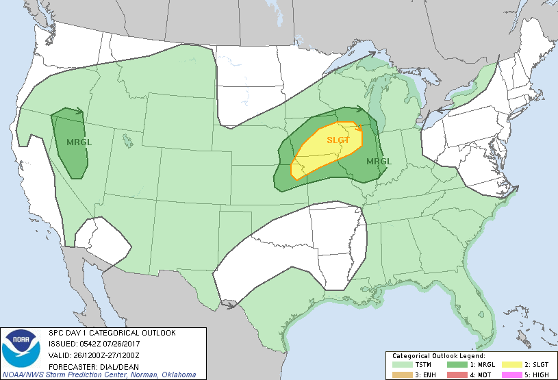
System in Plains will head east. Looks like it may move further south and have a direct affect on Mid Atlantic Friday-Saturday...and only fringe Southern New England. Hot Southwest. Below - severe weather outlook for today.
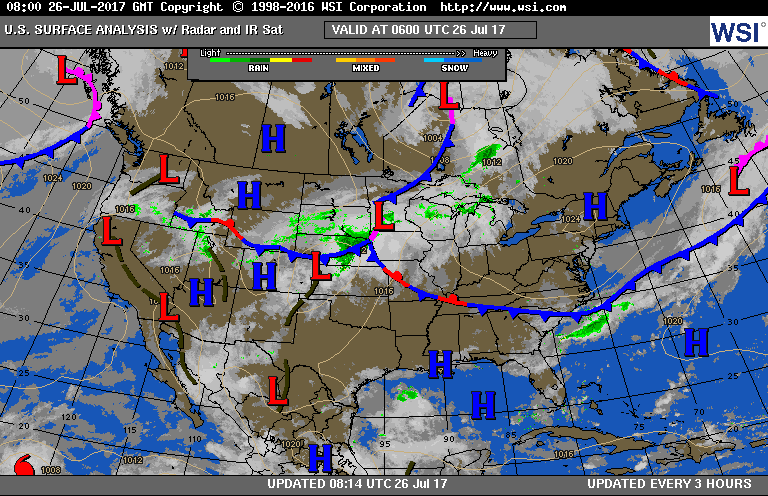
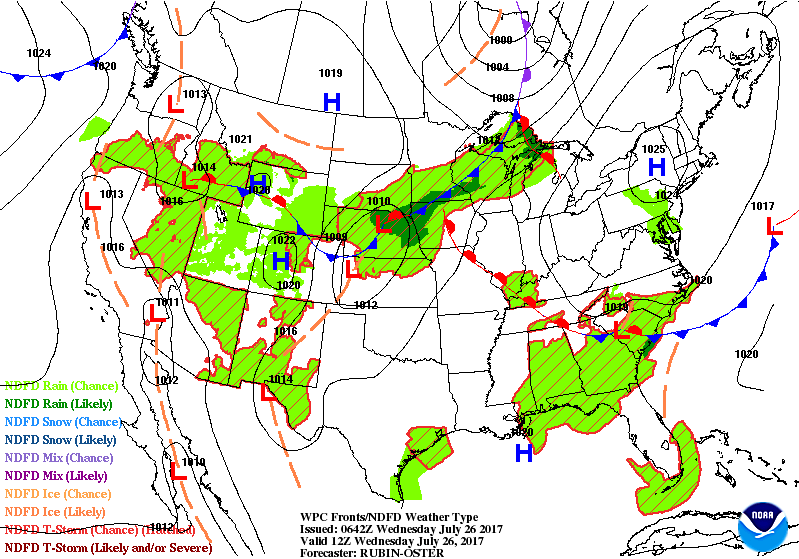
Above- current map showing storm in Upper Midwest. This is the system that will have a major effect to East Coast. Still not sure exactly who will get the heaviest rain. Below...animated maps showing likely movement.

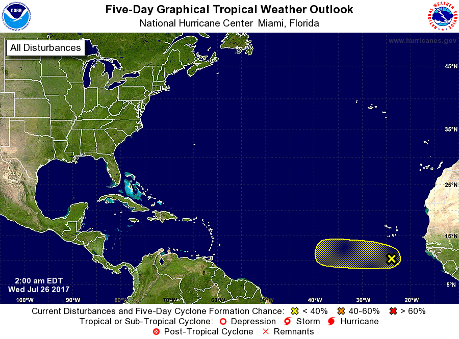
Above map for rainfall - next 5 days...showing heaviest from Central New Jersey to West Virginia and south.....as well as Southeast Coast...and into Rockies. Below....map showing likelihood for tropical development in next few weeks.

 RSS Feed
