Metro Weather Inc. Services
Like us, follow us, link to us, contact us!
  • Home
    • Daily Weather Discussion
  • Weather Prepared for You
    • Film and TV Production
    • Radio & Television
    • Government and Industry
    • Forensic Services >
      • Weather Record Request Form
    • Metro Morning Monitor
  • About Metro Weather
    • Senior Staff
  • Your Weather Images
  • Contact Us

Wet then drier....finally !

7/23/2013

0 Comments


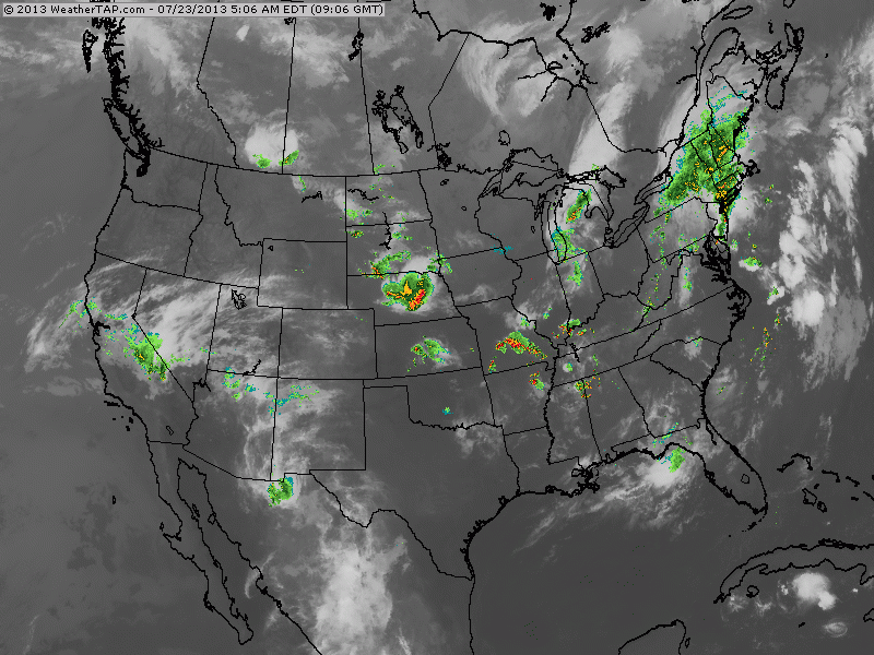
Looking at the radar/satellite pix this a.m. you can see a couple of areas of clouds and rain from the Gt.Lks to The Northeast. These are the fronts that will bring some real nice weather mid week to Ne & Mid Atlantic.

Picture
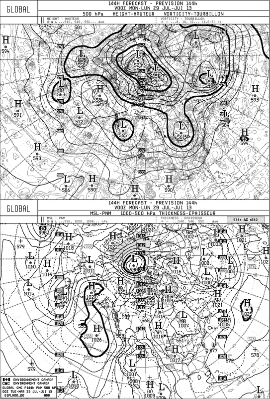
Weather map shows low pressure in The NE....and once that clears...that High moving into Plains will build east. The following map is the Canadian Model. It's upper air pattern indicates a cooler one for The Eastern Half of the Nation next week......so heatwaves are not seen there.
Picture
Over to the tropics....an impressive wave is swirling off The African coast and the hurricane center gives it a 40% chance of becoming a tropical system. Given the present pattern....it would have to move across the So. Atlantic and head for the Southeast. Should it grow to a tropical storm...it would be named Dorian. Later.
0 Comments


Leave a Reply.

    Genesis of a Tornado
    We'll have daily weather discussions, talking about major systems on the horizon along with anything noteworthy that pops up on our radar.

    Pat Pagano,
    Mike Merin

    Follow us on Twitter and like us on Facebook to get updates whenever we post a new entry!

    RSS Feed

Powered by Create your own unique website with customizable templates.