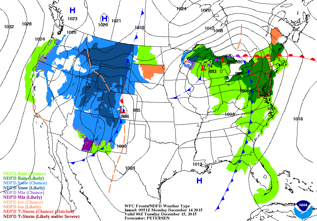
Storm in center of Nation will bring rain to much of the Eastern Half of the Nation along with some thunderstorms through tonight. Next system diving in the Rockies will bring snow there and then into upper Midwest and Great Lakes mid week.
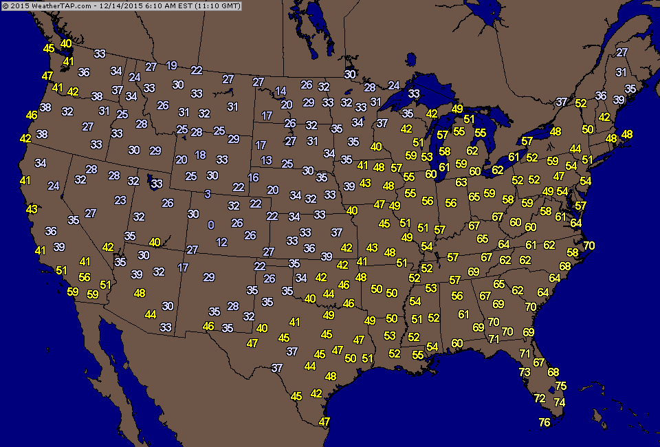
Morning temperatures clearly show the cold front moving through the Mississippi Valley.
Map for this evening....storm moves into the east.....snowstorm
hitting the Rockies.
hitting the Rockies.
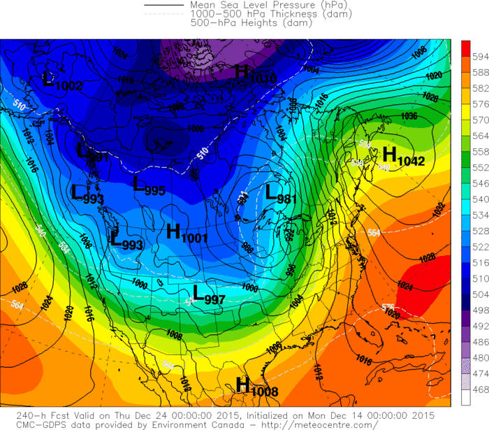
Canadian model shows a screaming southerly wind for the East for Christmas Eve.....so no snow ? Rockies to Plains...chance of snow. Below....GFS Model for Christmas.
Notice the blue dotted line from Colorado to Wisconsin. That pretty much represents the rain - snow line. Anything north and west of that line is cold enough for snow....south and east of that line...rain. Can it change....yes......"Dream".


 RSS Feed
