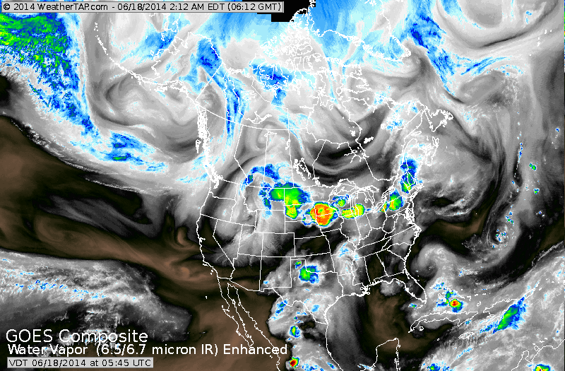
Satellite above shows flare up of rain and storms upper Midwest and Great Lakes. System in Northern Rockies brought some snow to higher elevations yesterday. Notice the swirl off the Carolinas. Upper low...but needs to be watched.
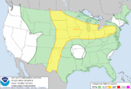
Above...click to enlarge...yellow showing best area for severe storms today.
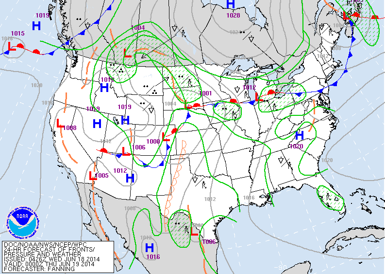
Above...today's map....active indeed. Northern Rockies to
Ohio Valley.
Ohio Valley.
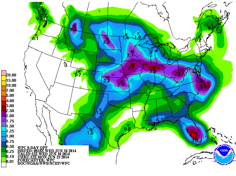
Above.....rainfall amounts for the next 5 days. West is dry and much of The Northeast.
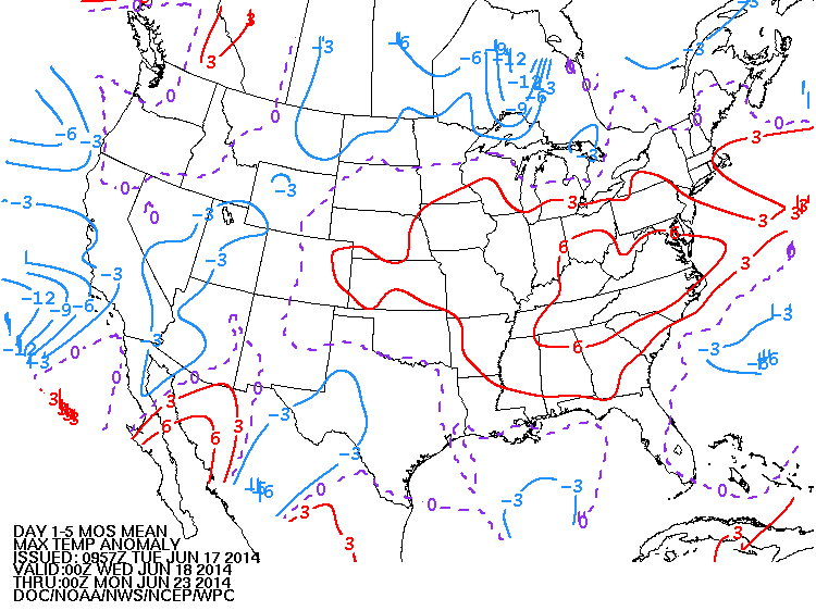
Above...departure from normal for daytime highs for the next 5 days. Red is above...blue is below...purple is normal.
Be safe.
Be safe.

 RSS Feed
