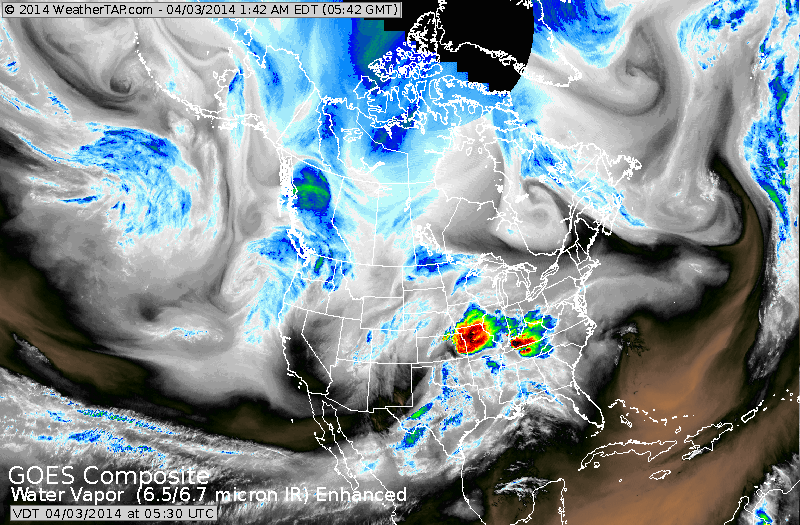
Satellite above shows heavy rain and thunder in mid section. This storm will bring heavy snow to upper Midwest...rain elsewhere. It will extend to Northeast and bring wet weather tnte and Friday. System along the west coast will bring another round of rain early next week to the East.
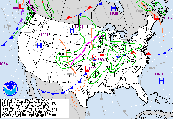
Above...today's map depicting the mid nation storm and showing how widespread the rain and snow will be with this system.
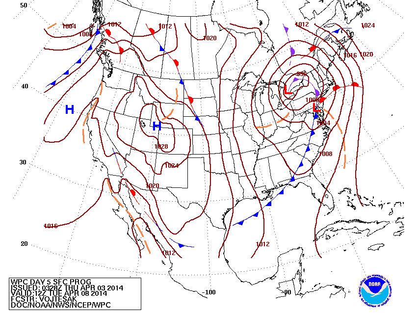
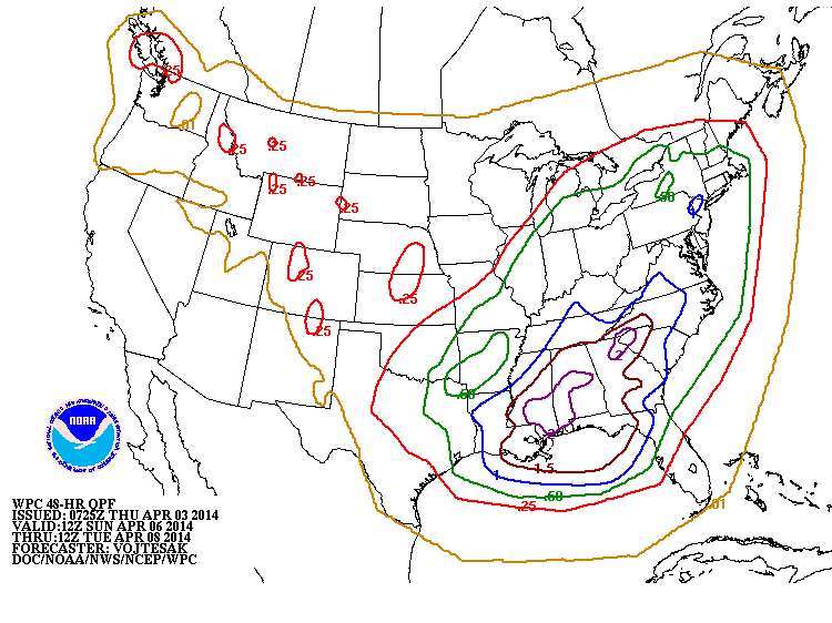
Above....map for next Tuesday. Complex storm Great Lakes and Northeast with rain....thunderstorms southeast. Below....map showing rainfall for early next week...again...Northeast up to 1".....
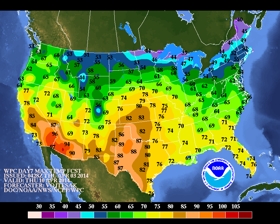
Above...map shows high temperatures for 1 week from today...next Thursday. Notice 80's thru the Central Plains....70 headed for Chicago...
90's to 100 in The Southwest and then you have Great Lakes and Northeast.....where 40's and 50s are stuck. Be safe...later.
90's to 100 in The Southwest and then you have Great Lakes and Northeast.....where 40's and 50s are stuck. Be safe...later.

 RSS Feed
