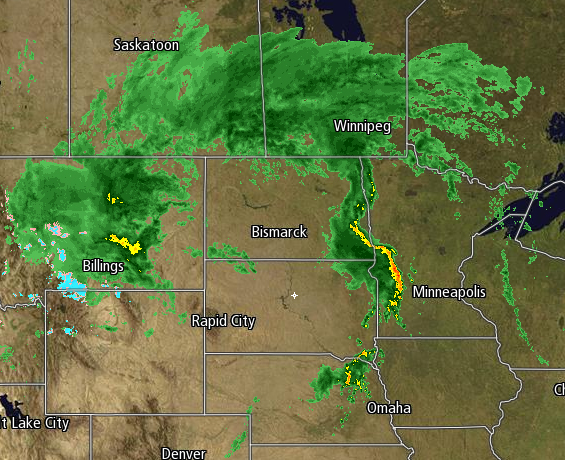
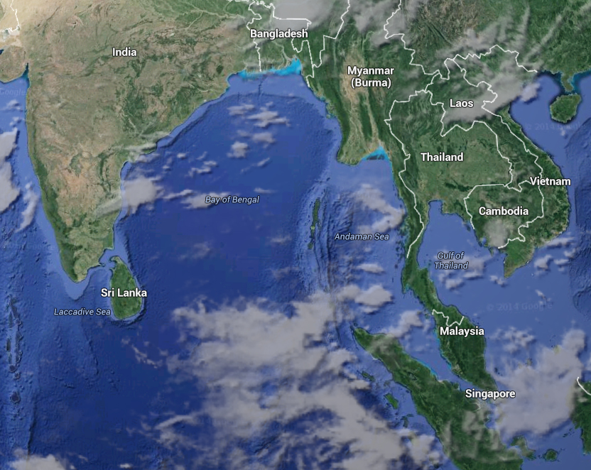
Looking at the current radar in the Upper Plains, what do you see? Other than snow (yes that's right in the dead of Summer there's snowfall in southern Montana and NW Wyoming), the precipitation strikes an astonishing similarity to SE Asia, most notably where the squall line splitting the Dakota/Minnesota border is it. First thing it reminded me of was the Malay Peninsula where Thailand and Malaysian lie.
With that out of the way, the tropics are similar to yesterday: 4 near the Americas with nothing yet in the rest of the world.
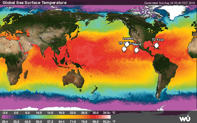
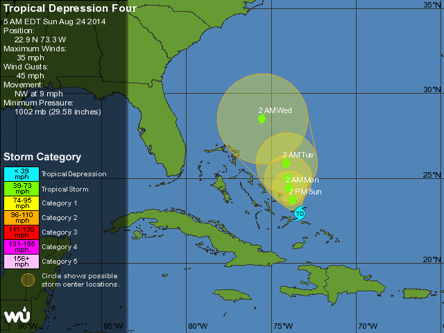
Invest 96L, or Tropical Depression 4, strengthened further as its maximum sustained winds reached 35MPH. It is due to strengthen further into a Tropical Storm over the next 6-10 hours. With the models further consolidated, as well as with a slight shift of movement to NW at 9MPH vs yesterday's WNW at 11MPH, the models are saying that the storm will move even further away from the Bahamas and the US mainland in Florida before it turns and makes its journey well into the central Atlantic.
Back to the Northeast, sunshine should reign over the next 5 days so enjoy it!
-Mike Merin
-Mike Merin

 RSS Feed
