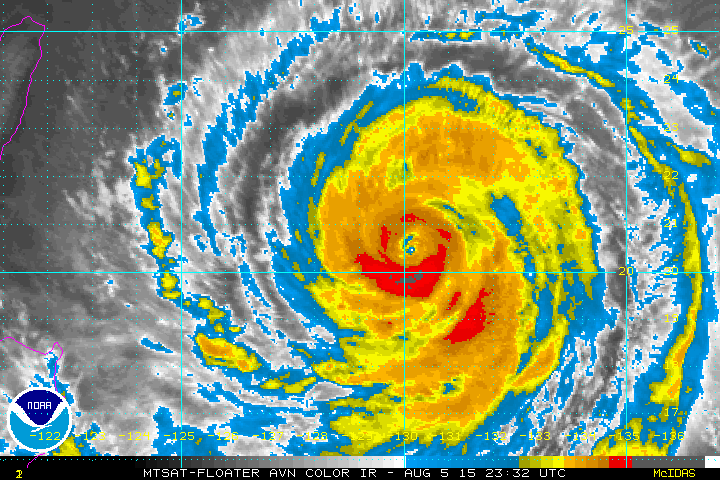
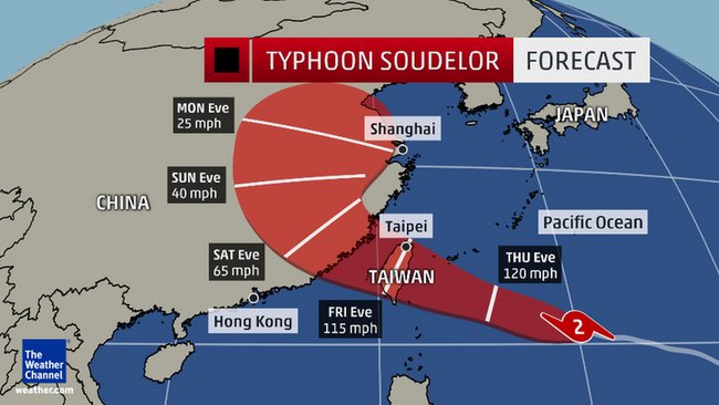
Typhoon Soudelor took a track just north of Guam and is now headed for China. Still has winds up to 180 mph but will likely decrease some to 115 mph when approaching .
Below is the expected track.
Below is the expected track.
Below....satellite showing the next low...headed for the Mid Atlantic....taking on an unseasonably southern track for this time of year.

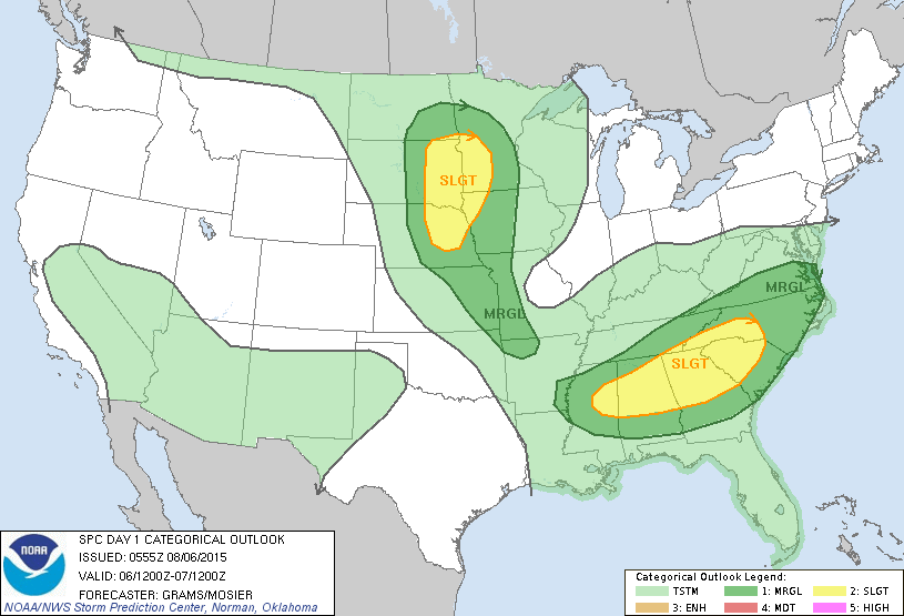
Today's severe risk in dark green and yellow.

Above...once was Guillermo. Notice the light clouds with circulation north of The ISlands....moving west.....while the colored clouds a moving northeast away from center. This is because of strong wind sheer....responsible for causing storm to weaken.
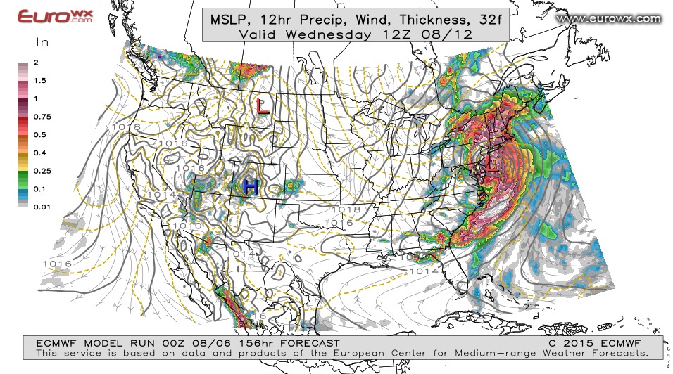
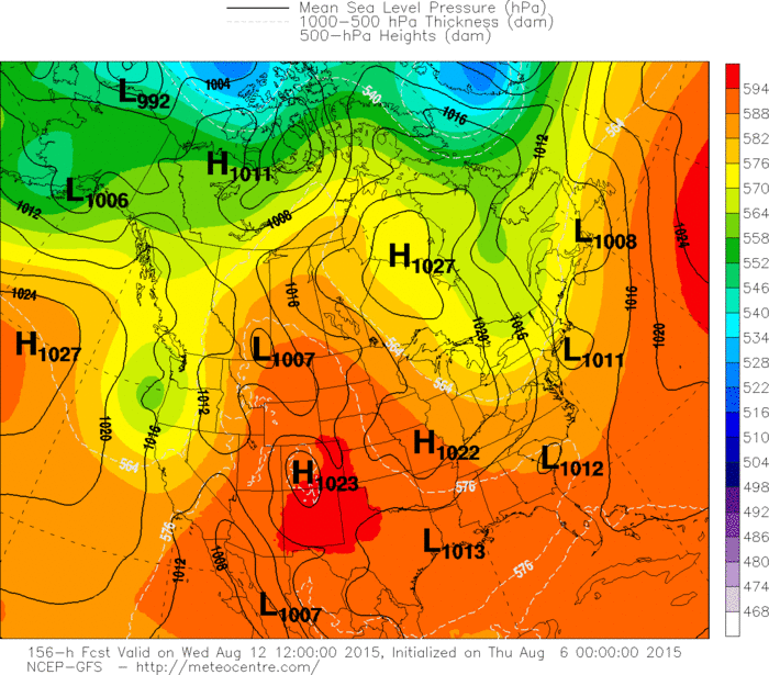
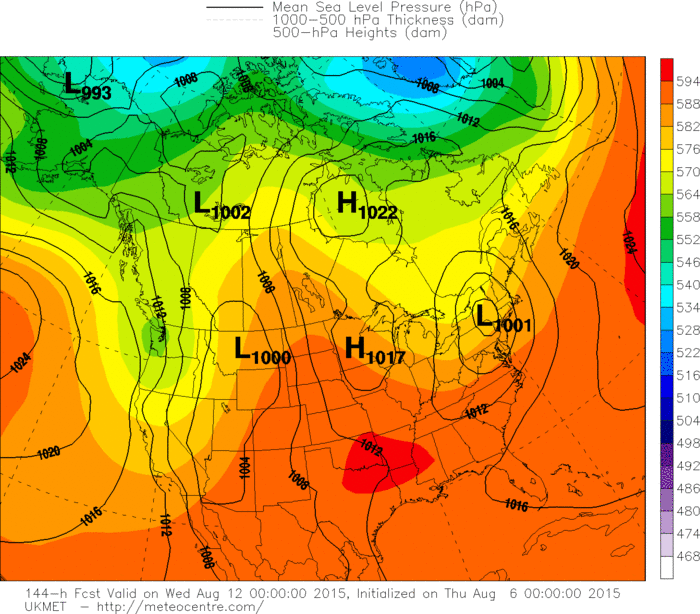
This is the Euro model for next Wednesday. It has been pushing a big storm for East all week for next week. It also produce a big storm for New England this weekend...and that will not happen. Below....the models that come close to Euro for next week...but not nearly as intense.

 RSS Feed
