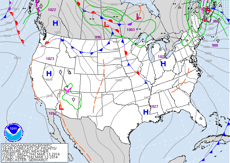
The big late winter storm is moving off New England taking it's snow with it. In it's wake...icy cold winds - up to 45 mph in spots...and temps. averaging some 20 below the norm for The Northeast. Rest of the nation....quiet. Keep your eyes on that weak low in the southwest.
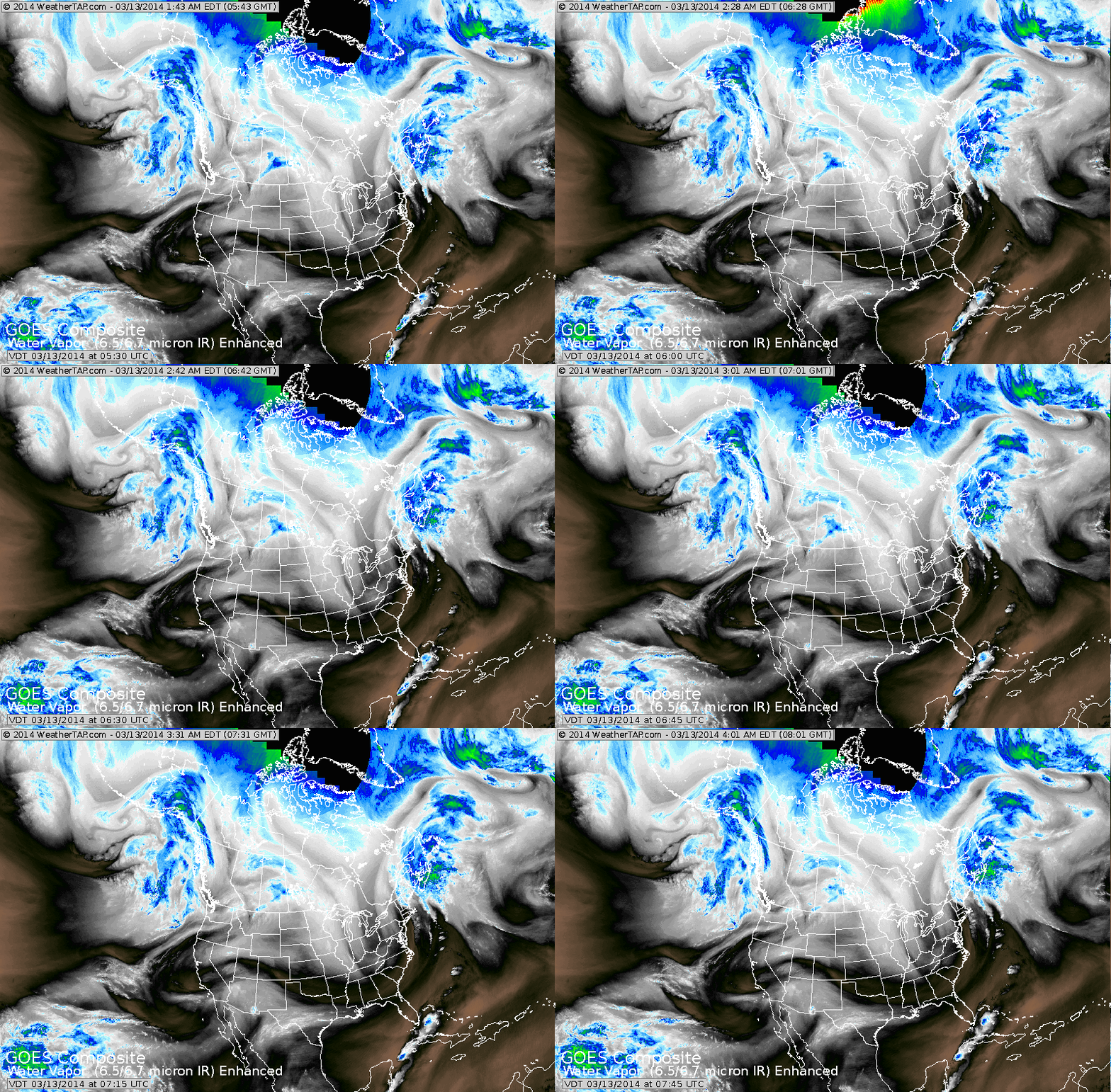
Satellite picture shows deep low off Canadian Maritimes. Even though it does not look like much now...circulation in the southwest needs to be watched. This system could merge with another over the Northern Plains and produce stormy weather for The East Coast by Monday,
St. Patrick's Day.
St. Patrick's Day.
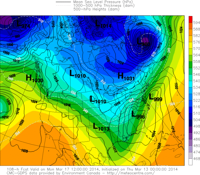
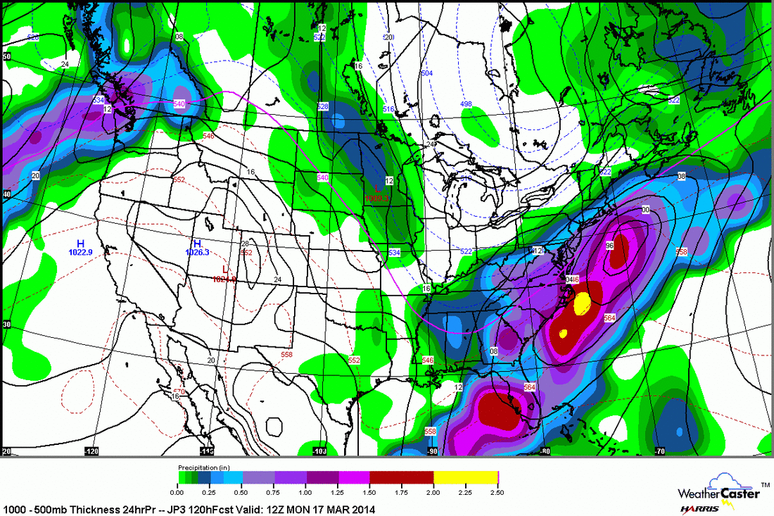
Above...the persistent Canadian model for Monday. This model does not want to give up on an east coast storm that could bring snow from Mid Atlantic into Southern New England. The Euro is close...but other models are keeping it south. Below...a RARE look at the Japan Model who also wants to bring snow to Southern New England....and
several inches at that. (Click image to enlarge).
several inches at that. (Click image to enlarge).
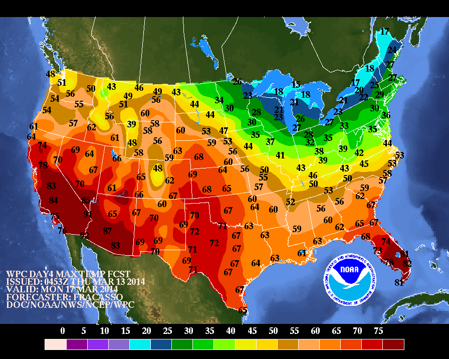
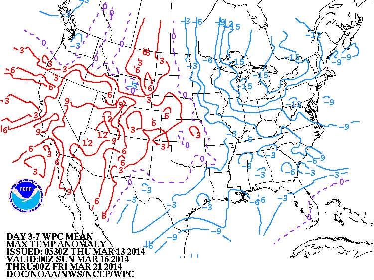
Finally, below...high temperatures for Monday...St. Patty's day. Below that...a map showing how temperatures will depart from the normal over the next 7 days. Notice that the blue ....below normal....is just where it was all winter long,

 RSS Feed
