Infrared Satellite above shows lots of orange over Southeast...and that is dry air. Swirl of clouds over Gt. Lks is a clipper moving into Northeast with only light snow. Vivid colors in Rockies - next system that will aim at Northeast this weekend with snow potential and another shot of bitterly cold air.
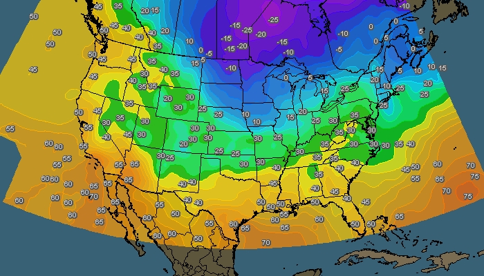
Early morning temperatures .......look at the frigid air heading south and east !
Early morning radar showing scattered - mainly light snow in Northeast.
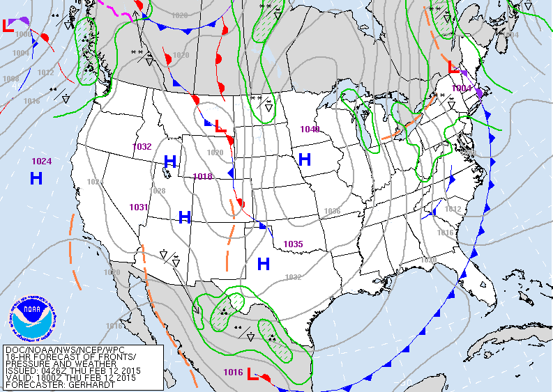
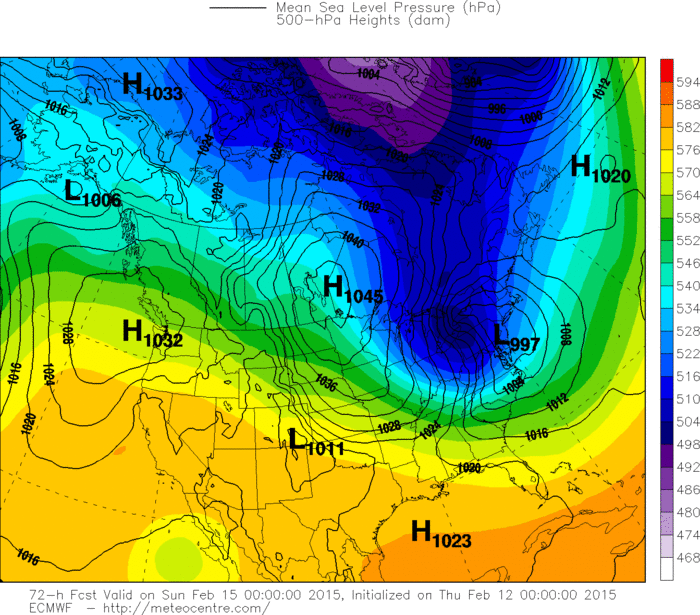
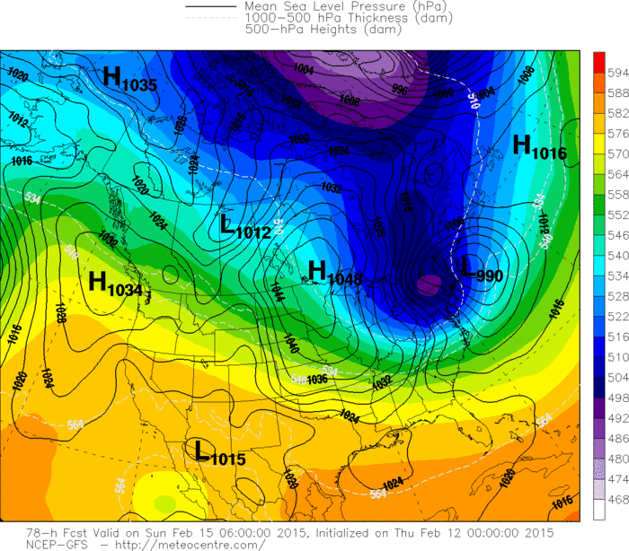
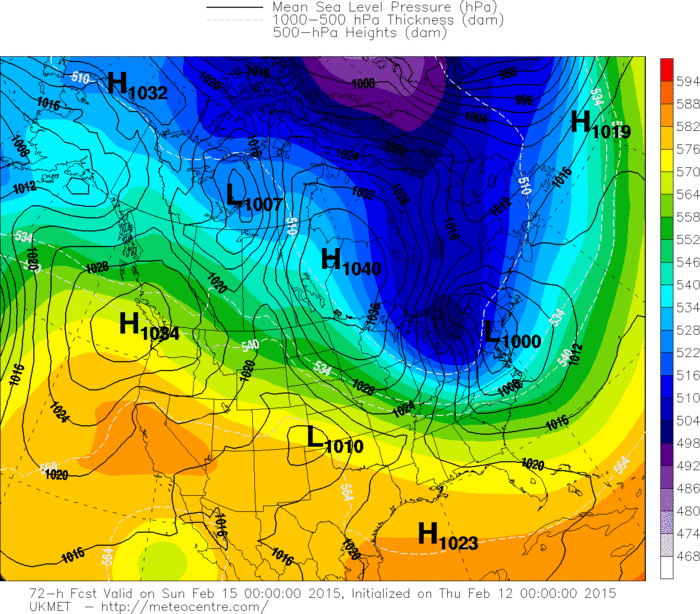
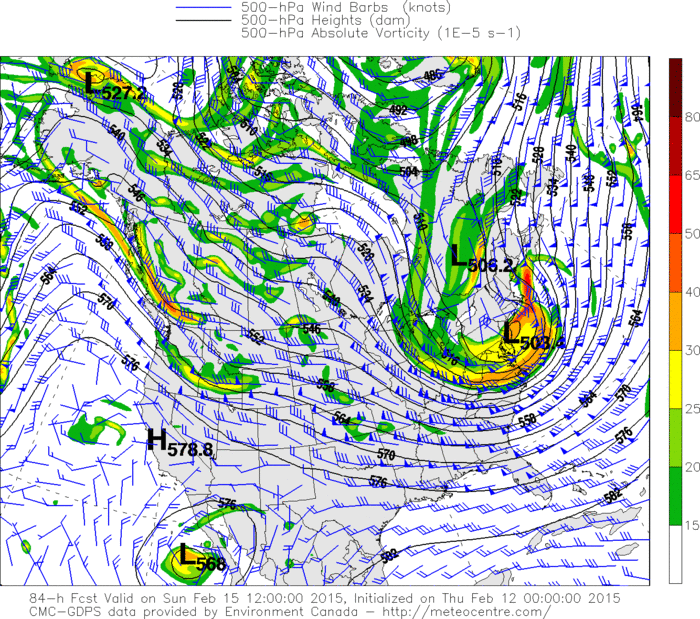
Above map is valid for Thursday afternoon. One clipper moving thru Northeast.....troublemaker coming out of the Northern Rockies. Below...we will show you the various models for storm and arctic cold wave in the East this Saturday. Following that...a look at the upper air and explanation.




 RSS Feed
