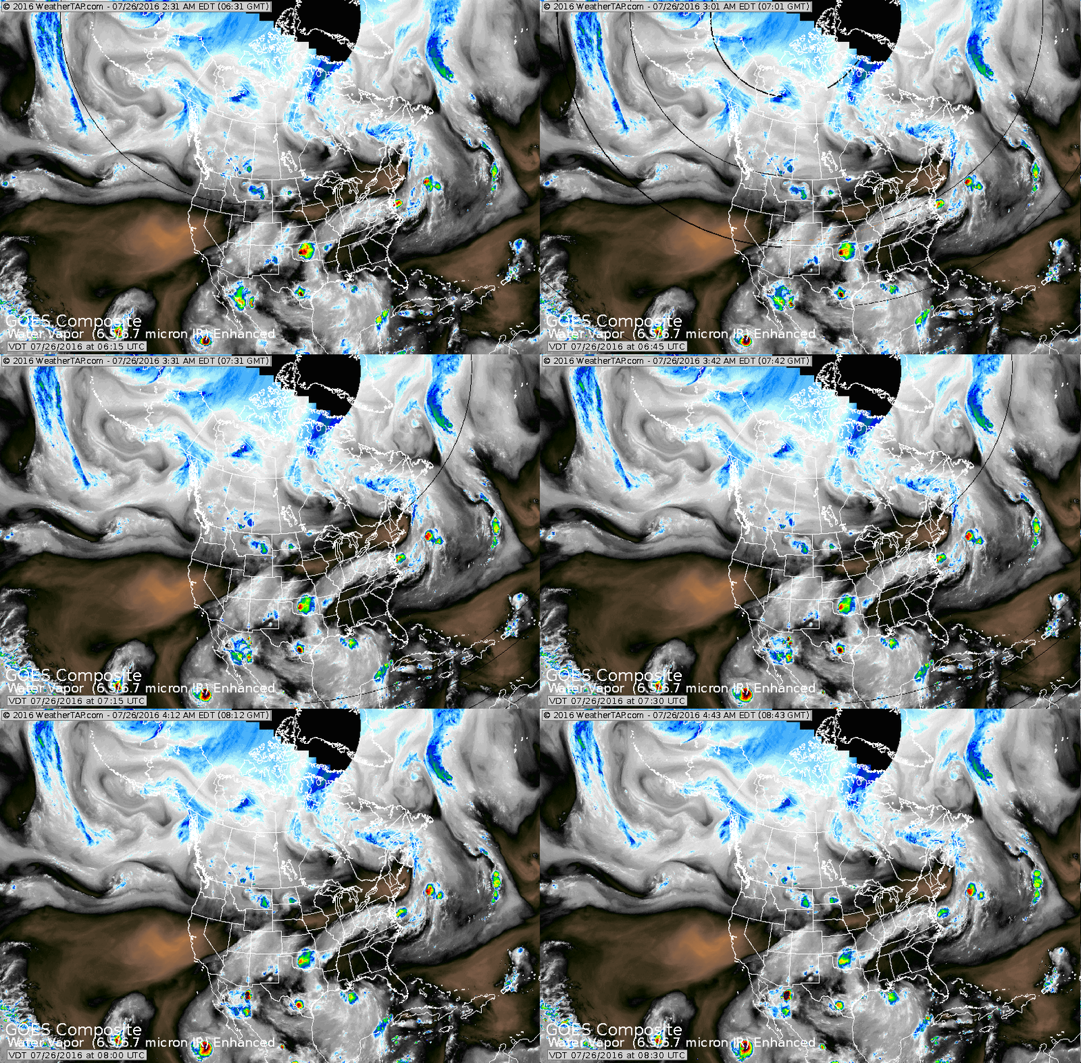
Satellite shows not much moisture ...and dry air has taken over but shades of magenta and black. The Pacific continues to be busy with tropical weather....Atlantic - quiet.
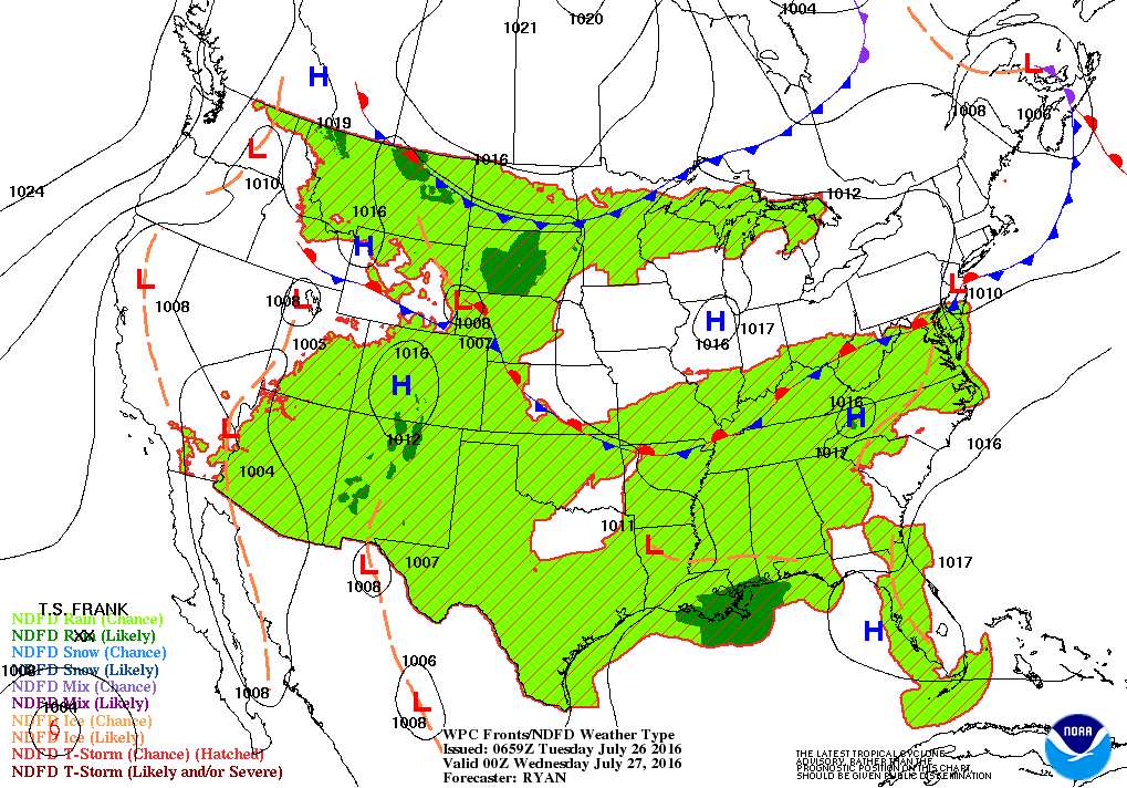
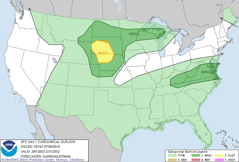
Today's map shows a stalled front in Ohio Valley and a cold front moving down from Dakotas. These fronts may produce severe weather today...as indicated below in dark green and yellow.
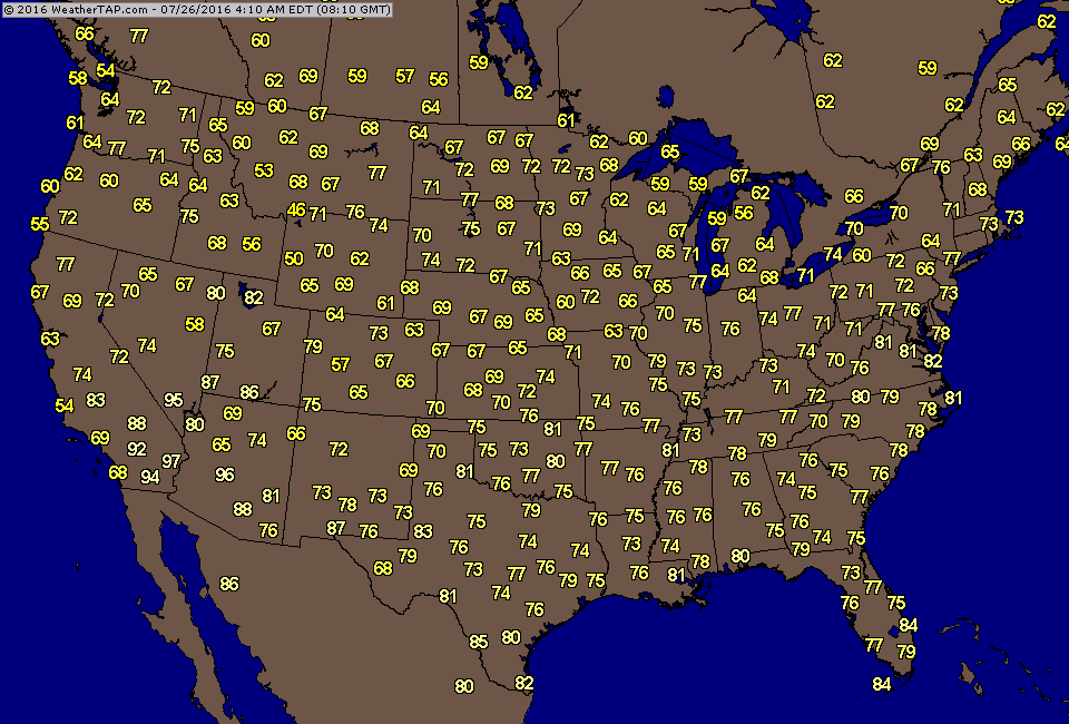
Tired of the heat ? Here are actual early morning temperatures....if you are in the Great Lakes - you are lucky.
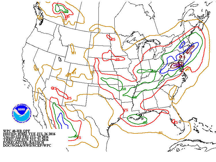
Longer range models not painting a pretty picture for The East from Friday into the weekend...showing plenty of rain...and most places need it...but timing may be wrong.
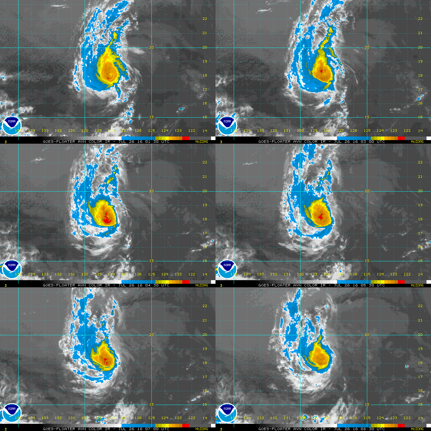
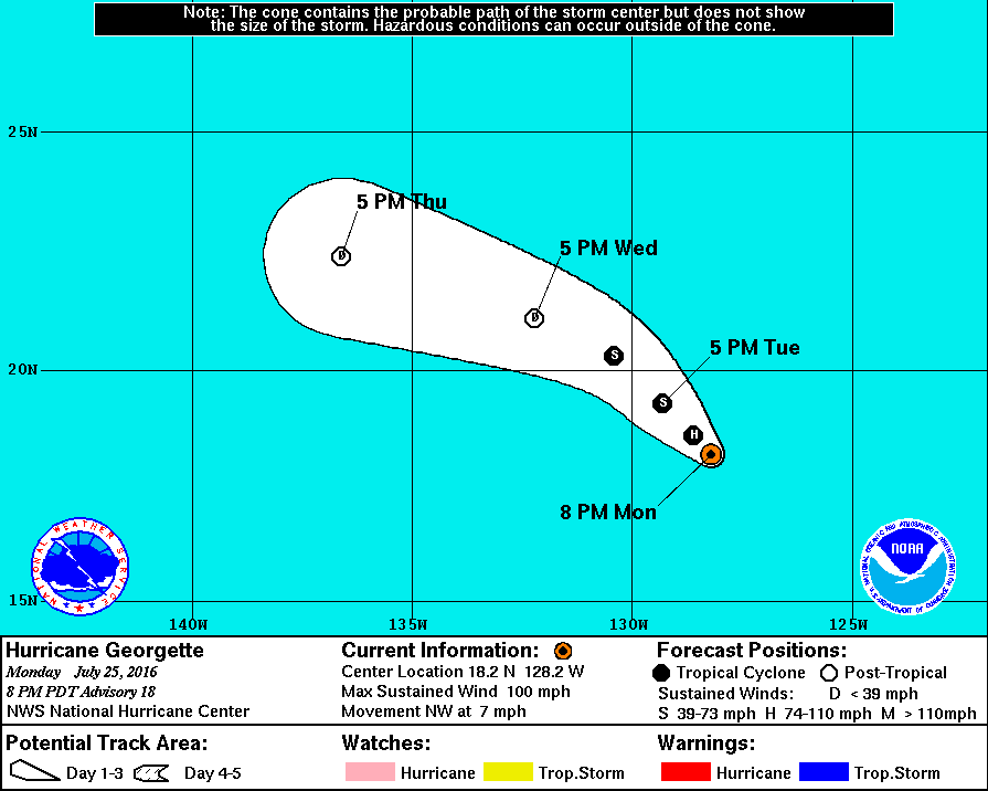
Below...Hurricane Georgette - 80 mph wind....but satellite
showing lots of sheer so it will weaken as indicated by track.
Be safe.
showing lots of sheer so it will weaken as indicated by track.
Be safe.

 RSS Feed
