
Satellite- radar doesn't look terrible...but it changes as the sun goes to work each day. System on Great Lakes heads to the east Tues and Wed. You'll notice out west that there is a circular motion - clockwise. Storms go south down the Rockies...then turn west toward California and head north up the coast. That will not change this week.
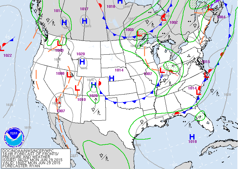
Map for today. Low in Ohio Valley will result in storms that may be severe.
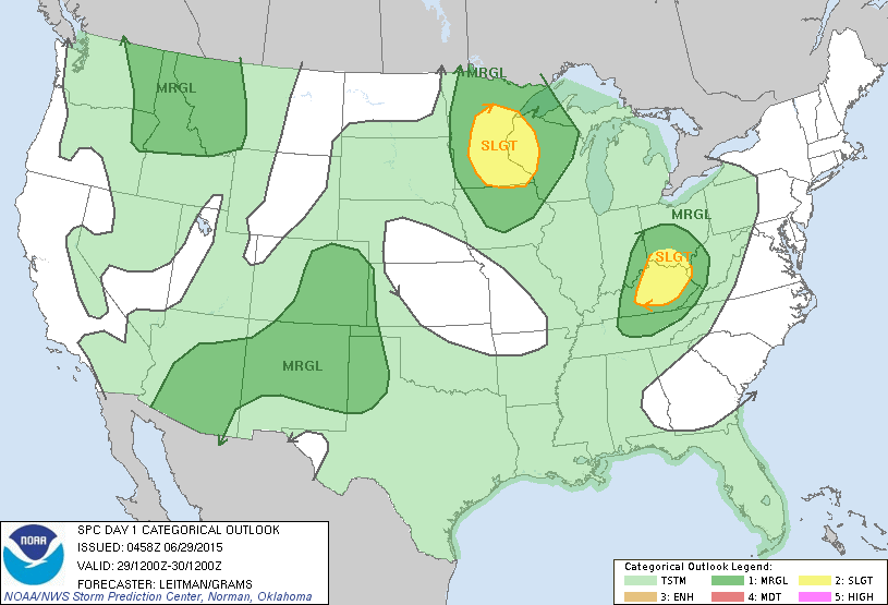
Risk of severe weather today in dark green and yellow.
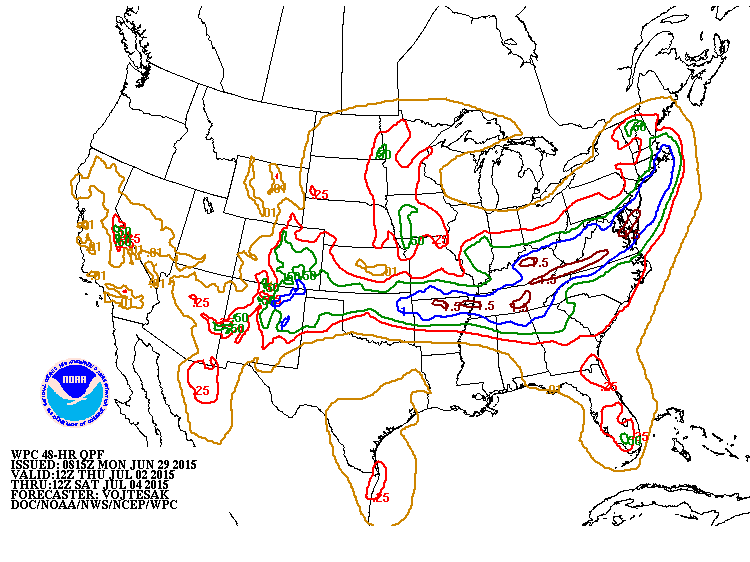
Amounts of rain expected from Thursday into Saturday...July 4th. Heaviest from Tennessee Valley to Southern New England.
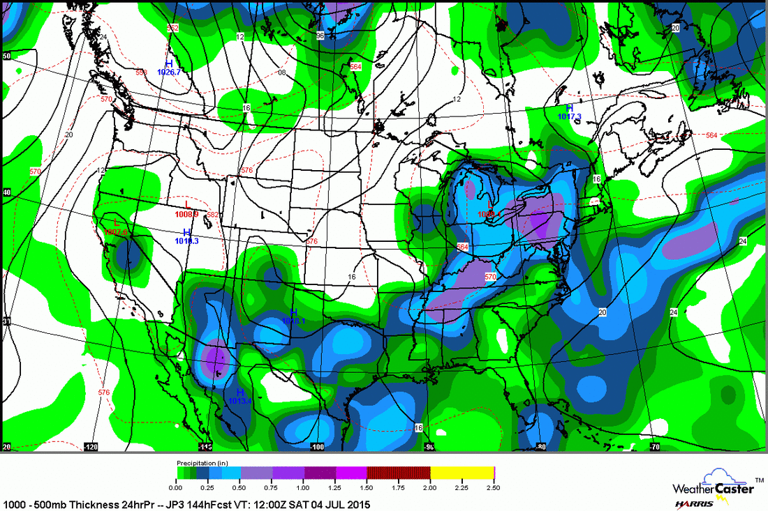
Above....Japan model for Saturday....showing alow over the Great Lakes with showers and storms over the Eastern & southern thirds of the Nation.
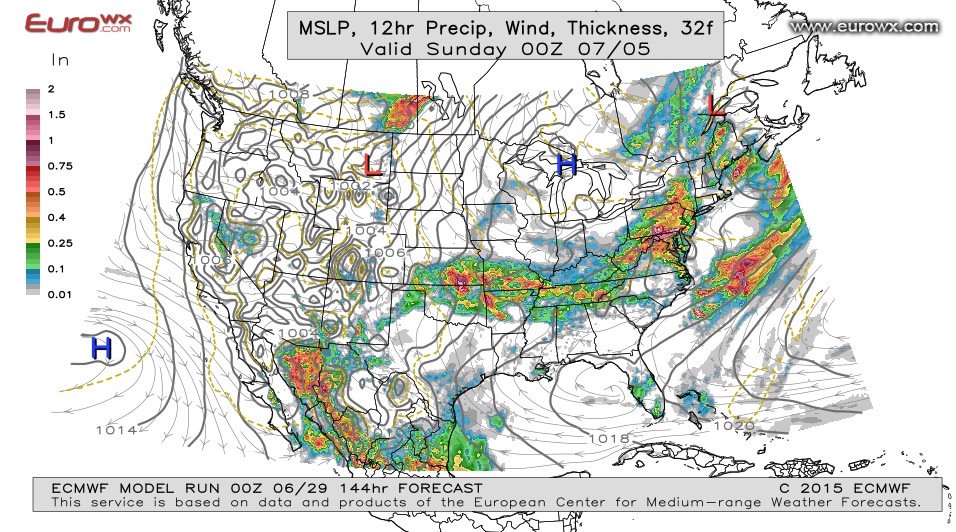
Euro Model for Saturday...showing almost the same thing as the Japan Model. All of this could change and we will keep you posted on holiday weather. Be safe.

 RSS Feed
