Metro Weather Inc. Services
Like us, follow us, link to us, contact us!
  • Home
    • Daily Weather Discussion
  • Weather Prepared for You
    • Film and TV Production
    • Radio & Television
    • Government and Industry
    • Forensic Services >
      • Weather Record Request Form
    • Metro Morning Monitor
  • About Metro Weather
    • Senior Staff
  • Your Weather Images
  • Contact Us

Unsettled

11/1/2017

0 Comments

 
Picture
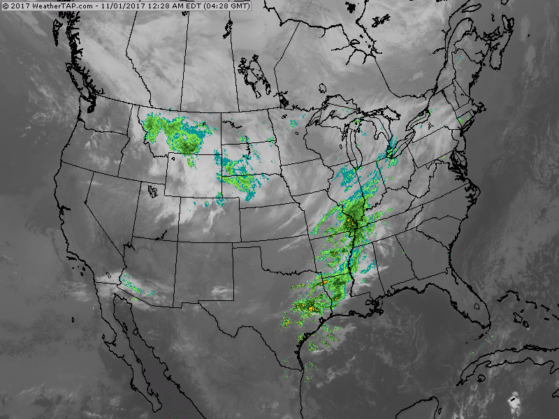
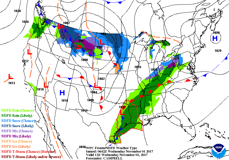
Satellite- radar shows large area of wet weather from Ohio Valley to Gulf. It will spread east through Thursday. Rain and snow Rockies and No. Plains moves east...giving Dakotas- Upper Midwest some snow.  Below - animated maps for next 2 days.
Picture
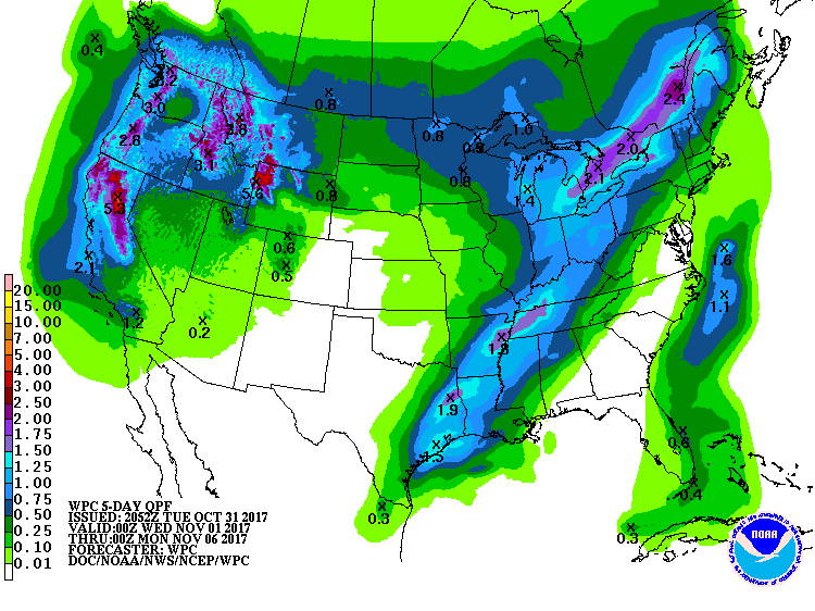
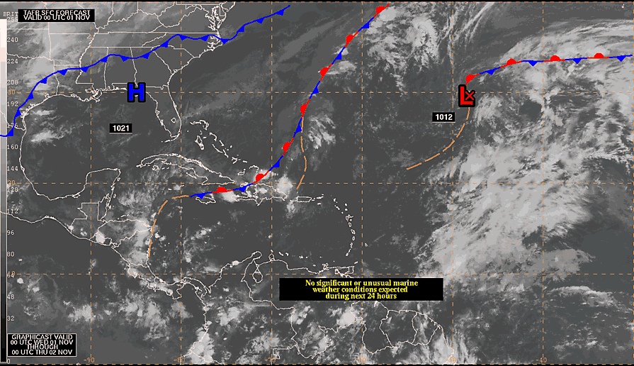
​Below- rainfall amounts for next 7 days......followed by a quick look at the Atlantic Basin which shows a disturbance in Central Atlantic....not likely to move this way.
Picture
Picture
0 Comments


Leave a Reply.

    Genesis of a Tornado
    We'll have daily weather discussions, talking about major systems on the horizon along with anything noteworthy that pops up on our radar.

    Pat Pagano,
    Mike Merin

    Follow us on Twitter and like us on Facebook to get updates whenever we post a new entry!

    RSS Feed

Powered by Create your own unique website with customizable templates.