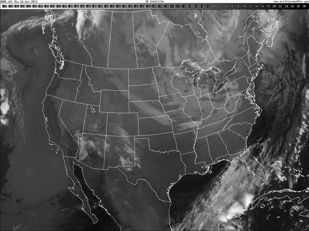
The light grey shows mid deck clouds stretching from the Plains thru
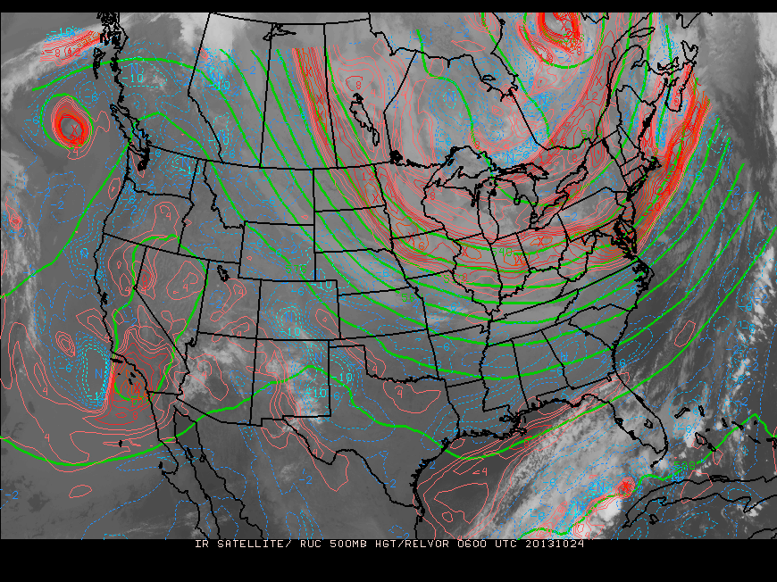
The Great Lakes...Ohio Valley into the Appalachians. Some of these clouds will produce light rain and snowshowers....otherwise a quiet time expected. Below is the latest upper air chart showing that large trof over The East....symbolizing the chilly air.
The Great Lakes...Ohio Valley into the Appalachians. Some of these clouds will produce light rain and snowshowers....otherwise a quiet time expected. Below is the latest upper air chart showing that large trof over The East....symbolizing the chilly air.
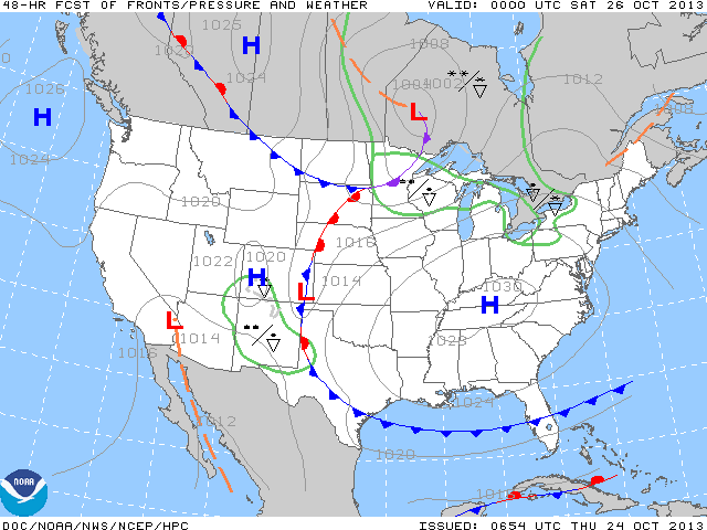
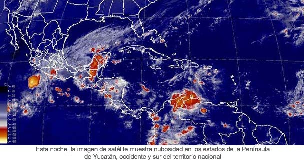
Not much change as the first map below is valid for Friday nite/ Saturday a.m. when we see high pressure as the dominate feature. The next cold front moving into the Great Lakes will just serve as a reenforcement of the cool dry air. Last map is a satellite...showing Raymond finally moving away from The Mexican coast. Notice the other area of enhancement along the North Coast of South America. That could be the next tropical storm...if so..would be given the name Melissa. Enjoy the day...Later.

 RSS Feed
