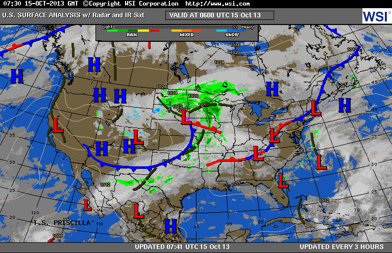
Both coasts are clear....mid nation cloudy and wet....some snow
higher elevations of Rockies. Most of the Nation will be above the average this week.
higher elevations of Rockies. Most of the Nation will be above the average this week.
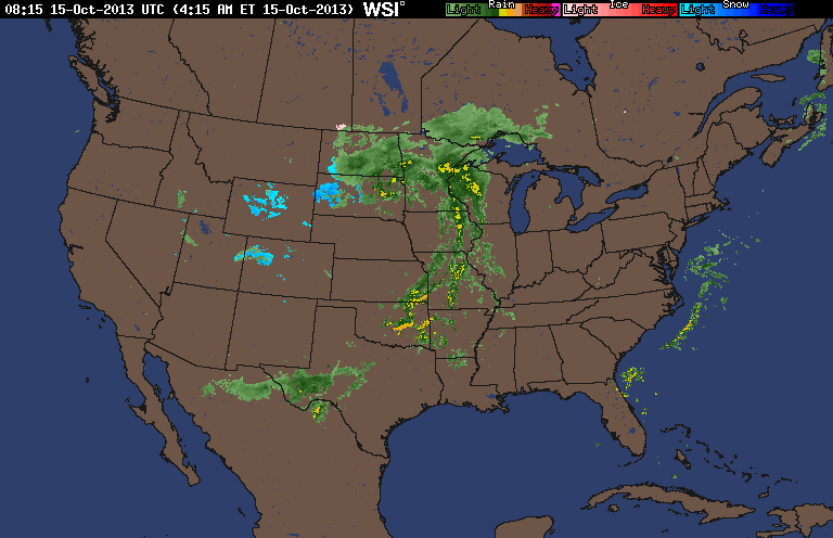
Morning radars show the wet weather from Upper Midwest to Texas....the blue indicates snow.
Tropics quiet....and there are no indications that will change any time soon.
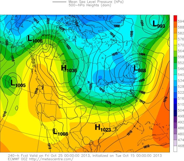
This is the European models for 10 days out...next Thursday. The low off coast of Maine ushers in some unseasonably cold weather from Great Lakes to Mid Atlantic. Most medium/long range models are in agreement with this pattern. This would also indicate that lake effect snowshowers will fall from The Great Lakes to New England. With the ridge built up thru Western Canada....the west stays warm and the east
gets cold...and colder....so prepare now. Later.
gets cold...and colder....so prepare now. Later.

 RSS Feed
