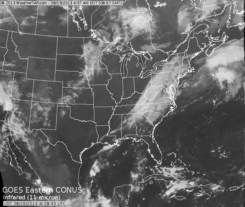
A return to warm and humid weather this week for much of the Nation. Our satellite show the old front stalled along the East Coast...it will slowly dissipate. Next front in upper Midwest not reaching East until end of week.
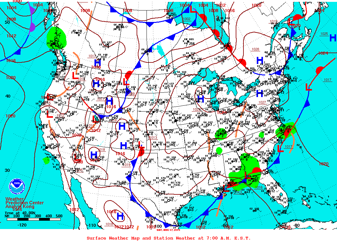
Our a.m. weather map looks very active but when all is said and done....not much to worry about except for some thunderstorm activity in the usual places.
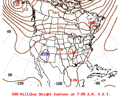
A look at our upper air pattern still shows a trof in the East....but the jet stream will head north and that will allow for warmer weather East...while cooling down West.
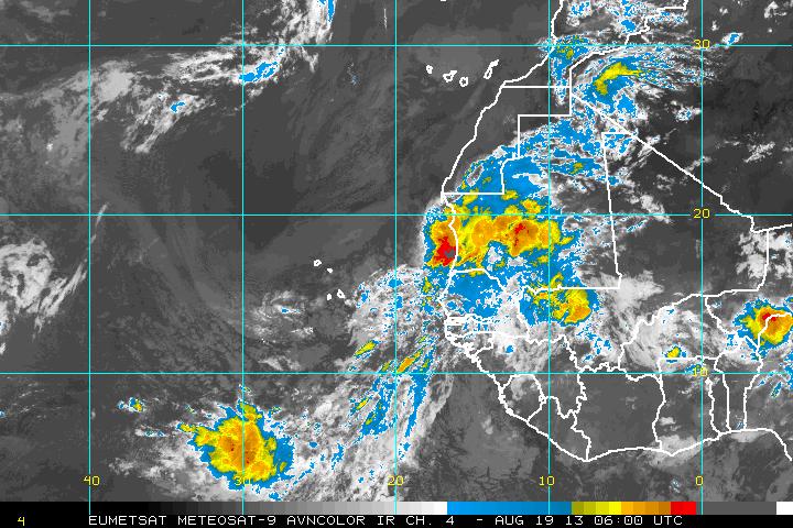
Finally...Erin has dissipated. There's some action along the African coast....but hurricane center only giving that a 10% chance of growing. I beginning to wonder about this season. Too early to say...and don't want to jinx anything...but it may not be as active as many thought. Here's a pix of African coast....what's your take ? Later.

 RSS Feed
