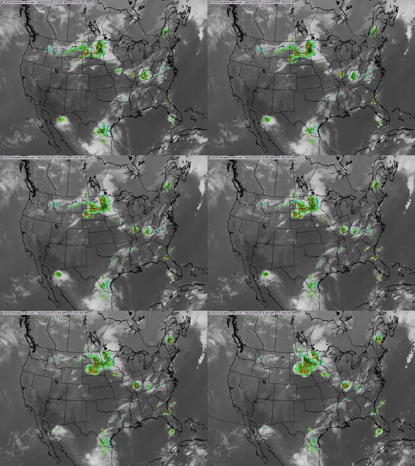
Satellite/Radar shows a large flare up in Northern Plains. It will move east over Great Lakes today with severe weather...and into Northeast tomorrow.
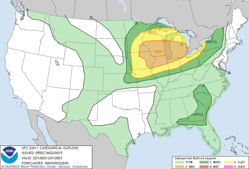
Today's risk of severe weather....yellow and tan.
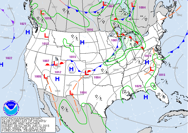
Tonight's weather map will focus on cold front in Great Lakes where severe weather is possible. Heat will continue in Southeast and out west.
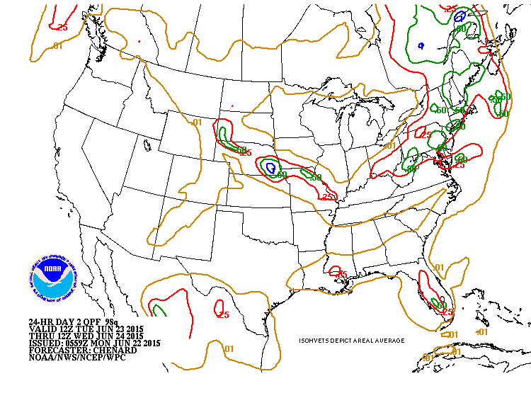
Rain for Tuesday......all associated with cold front in Northeast.....some of these amounts underdone.
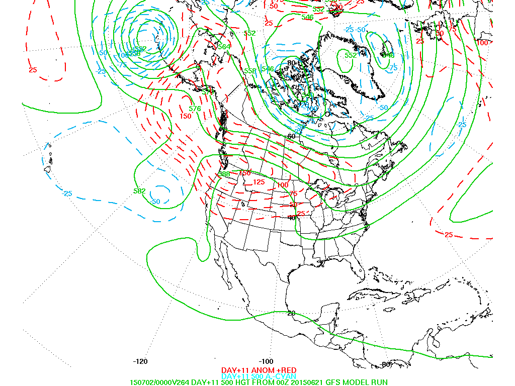
Upper air pattern for late week....showing heat out west and cooler in Northeast. Be safe.

 RSS Feed
