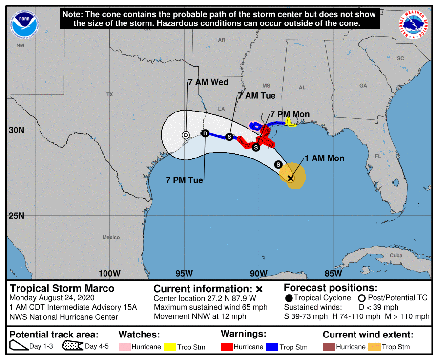
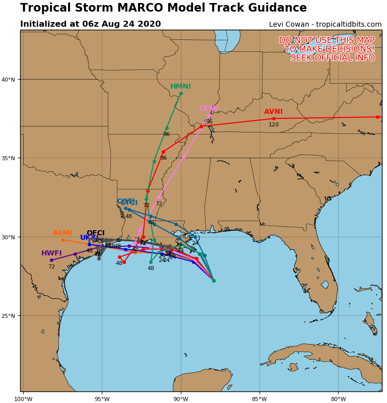
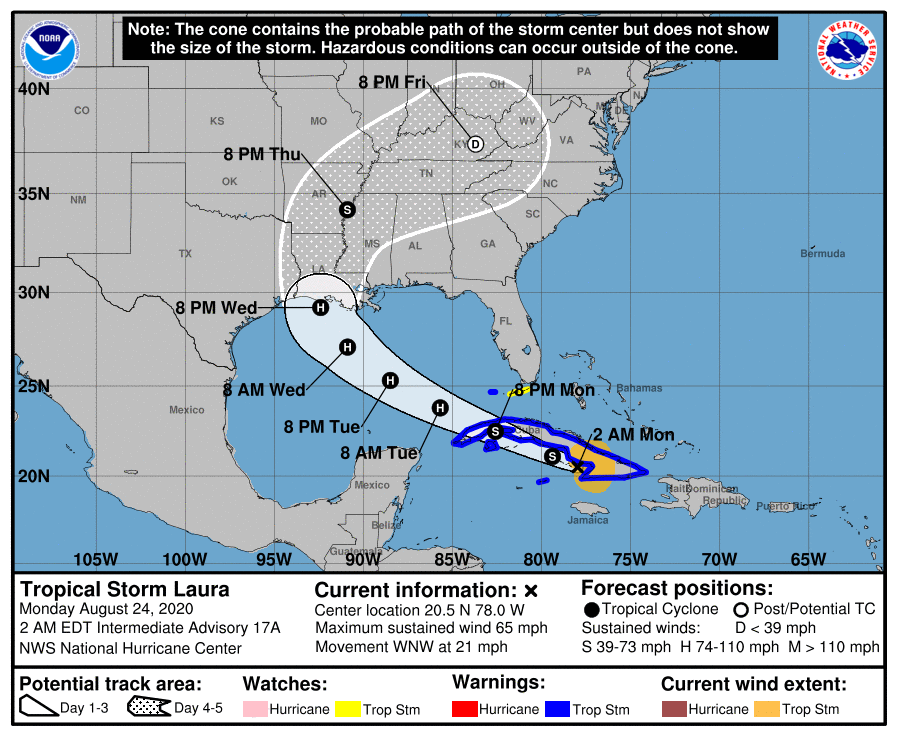

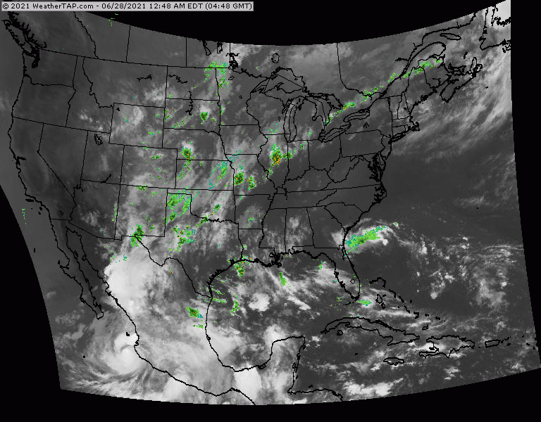
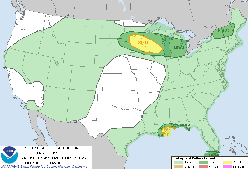
Above - hurricane center for Marco...then computer model tracks...followed by hurricane center for Laura...then computer model tracks. even after these systems make landfall...some of the tropical moisture could be taken into Ohio-Tennessee Valleys and then Mid Atlantic. Below- satellite + radar......animated maps - today;s severe weather threat - rainfall through Friday.


snapshot weather for Tuesday. Be safe.


 RSS Feed
