Satellite above shows large burst of showers and storms moving into Gt. Lakes. That area will head east to affect The East Coast by Wednesday. Swirl of colors over Florida could give birth to tropical depression that could affect East Coast later this week.
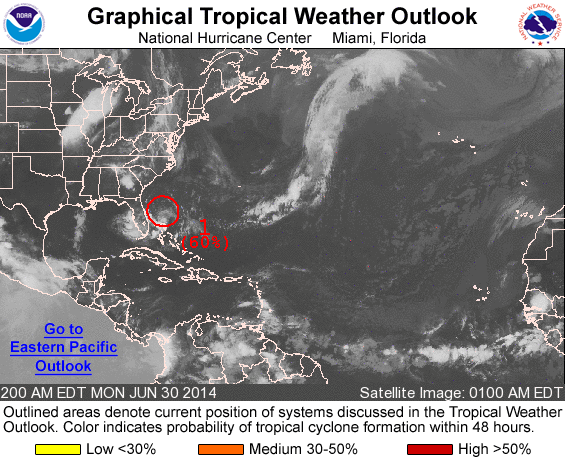
Above...Hurricane center gives the area in red a 60-80% chance of forming into a tropical system. A plane will investigate the area today. If it forms into a tropical depression/ storm it would be given the name Arthur and could affect parts of The East Coast Thursday and Friday...4th of July.
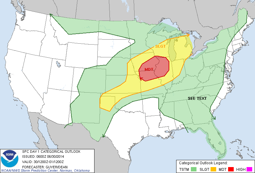
Above....area of yellow is a slight risk of severe storms today. Red is a moderate risk....indication a good chance.
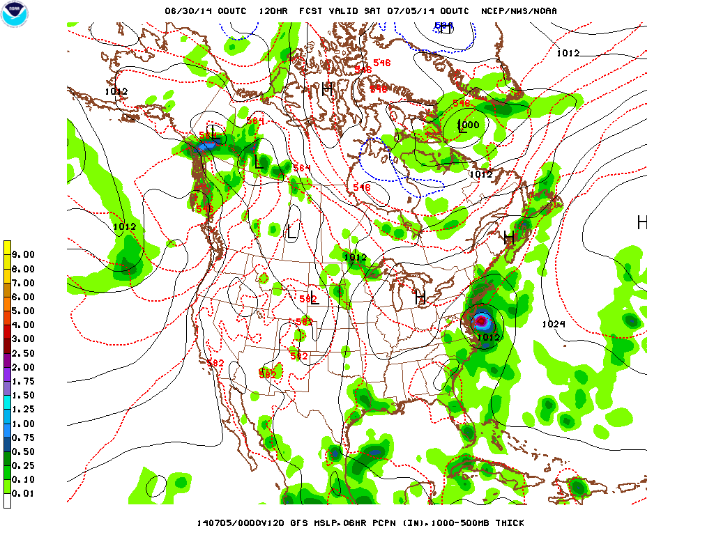
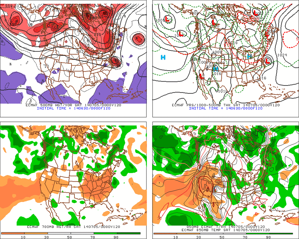
Above...The GFS....then The Euro for Friday 4th of July. Both models show a tropical low along the mid Atlantic coast which would not be good for Firework celebrations or for any outdoor activities especially from Mid Atlantic - north. Time will tell...will keep you posted. Later.


 RSS Feed
