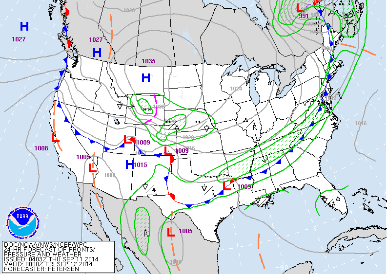
Map above to late today...showing cold front moving to east coast with showers and thunderstorms. Some snow continues of Rockies ( *). Very chilly from Rockies thru Plains and into the Great Lakes.

Satellite shows cold front over Ohio Valley....elsewhere lots of dry cool air ....but it will be heating up on west coast.
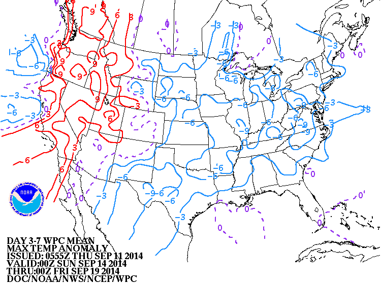
This map shows how daytime temperatures will average thru this Sunday.
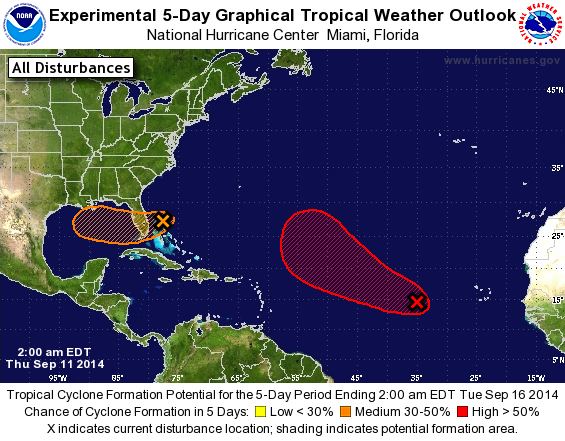
Weak disturbance in Bahamas will give Florida heavy rains. System in Atlantic will become Edouard....but should stay in the Atlantic.
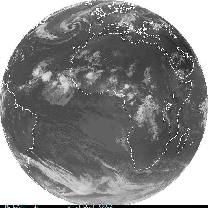
Things are popping off Africa....thee place to watch this time of year....so look for the tropics to become increasingly active. Florida ....watch out. Be Safe.

 RSS Feed
