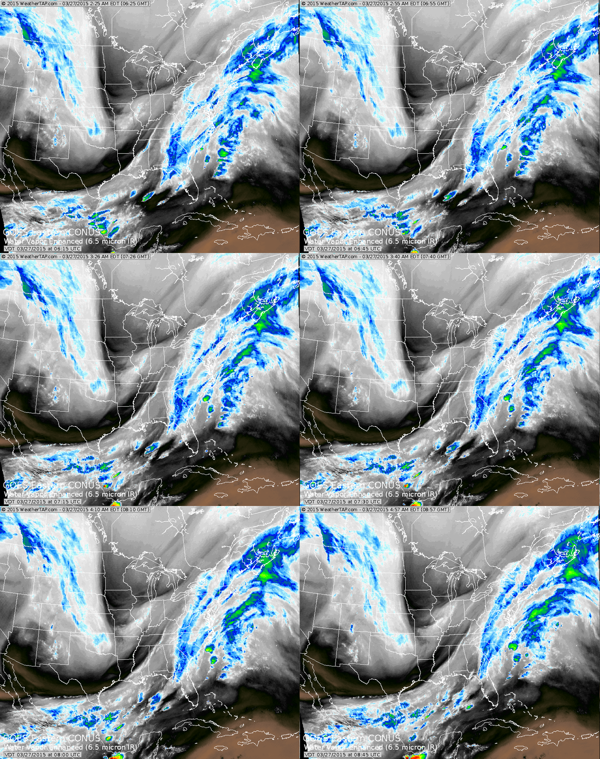
Jet Stream is seen dropping down the Rockies and then turning up the east coast. Cold dry air Midwest...moving east and even some of it reaching Florida. Record setting warmth out west.
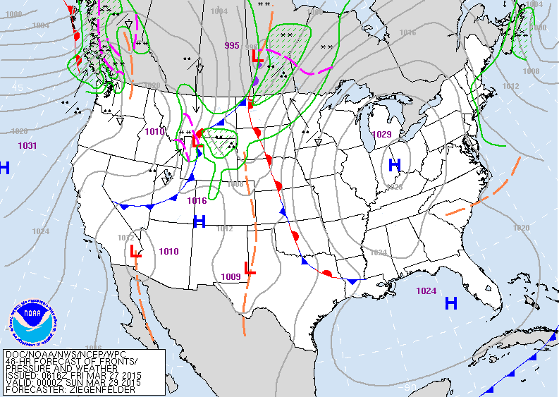
Map above is for Saturday. High over Ohio Valley means dry and chilly for The East.....with some snowshowers across the Northeast. Rain with a front over Northern Plains and Rockies.
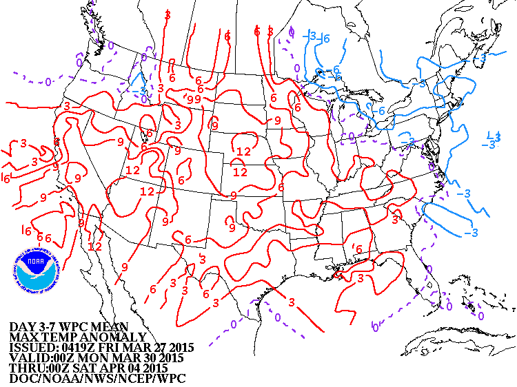
This map shows how daytime temperatures will average over the next 3- 7 days. Blue is below the average normal...red is above. You can see that much of the nation is finally getting warmer.
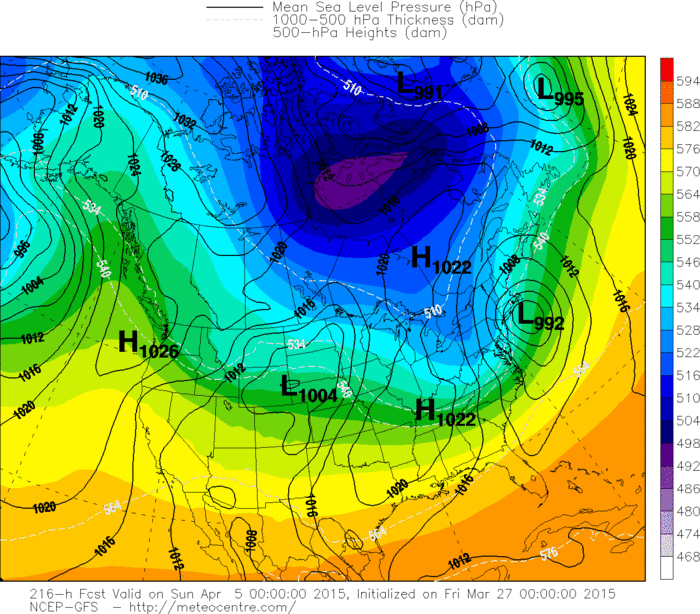
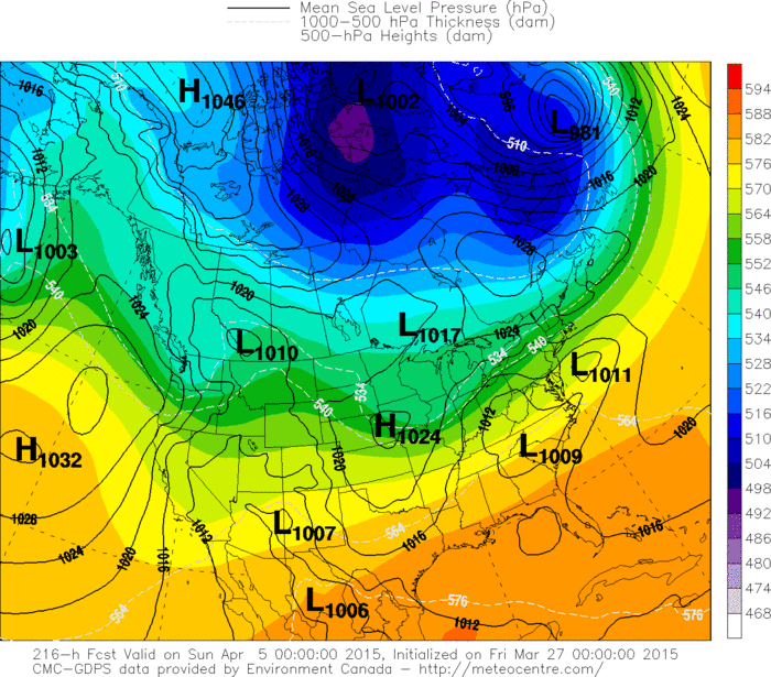
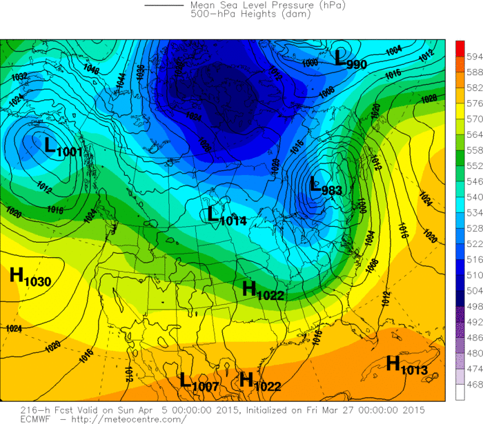
Below...you will find 3 models depicting what they think the weather map will look like for next Easter weekend. The first map is the GFS Model who wants to bring a big storm to the northeast. Next model is the Canadian...who brings a storm to Northeast but not as big. Lastly...The Euro Model who doesn't bring a storm but a front with some rain and wind. Have no idea who will be right....so we will track it and keep you posted. Have a nice weekend.
Below...you will find 3 models depicting what they think the weather map will look like for next Easter weekend. The first map is the GFS Model who wants to bring a big storm to the northeast. Next model is the Canadian...who brings a storm to Northeast but not as big. Lastly...The Euro Model who doesn't bring a storm but a front with some rain and wind. Have no idea who will be right....so we will track it and keep you posted. Have a nice weekend.

 RSS Feed
