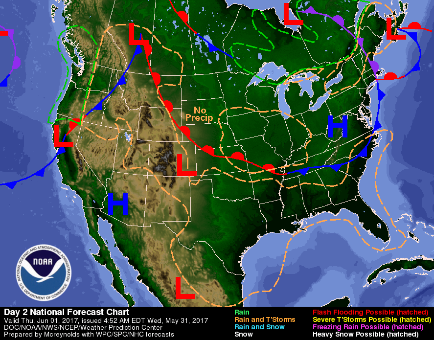
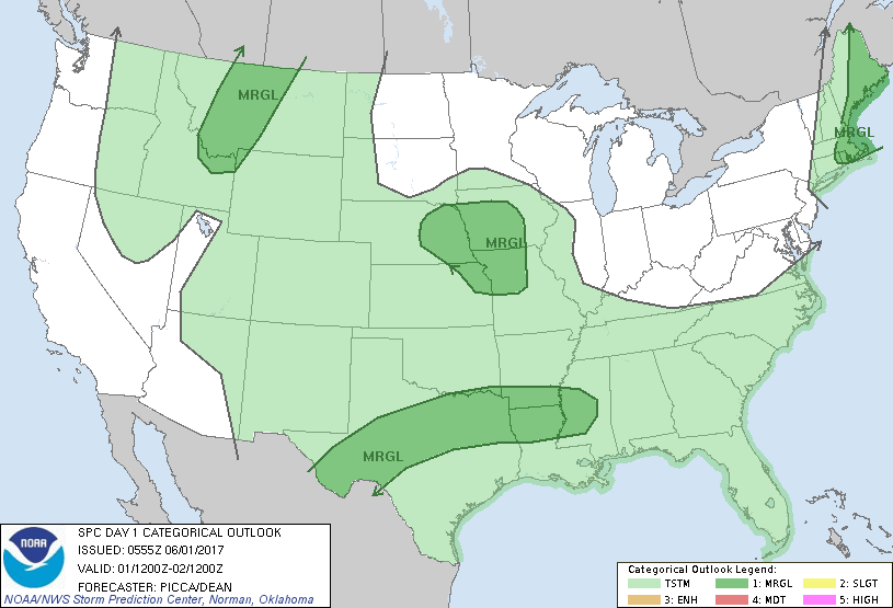
We can still see the trof in the East....but things have gotten drier. Most of the rain will be in the southern third. Below....today's weather map followed by chance of severe - which today is only marginal and in dark green shading.
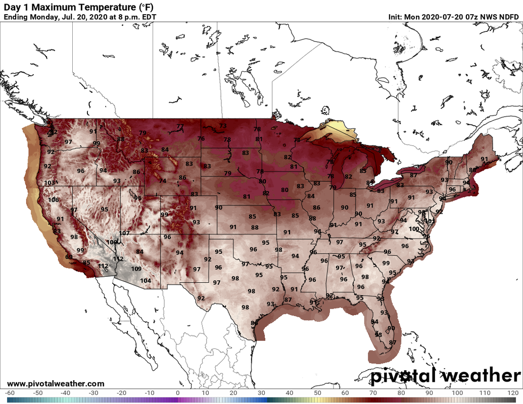
Below - GFS Model for Monday. Another very wet system.
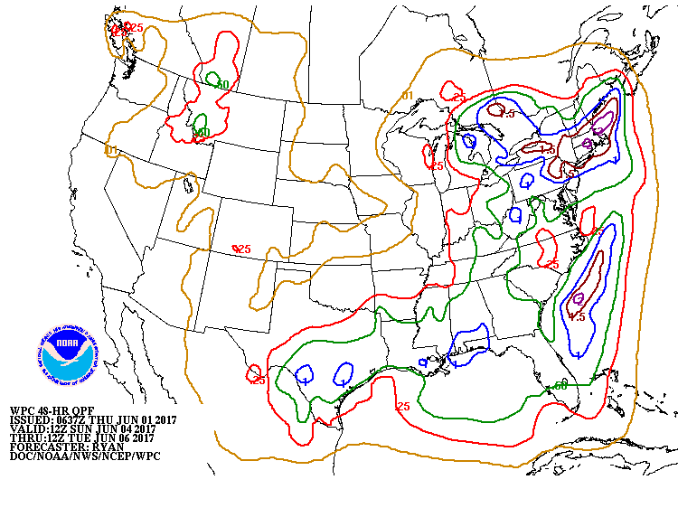
Below - amounts of rain expected Sunday through Tuesday.
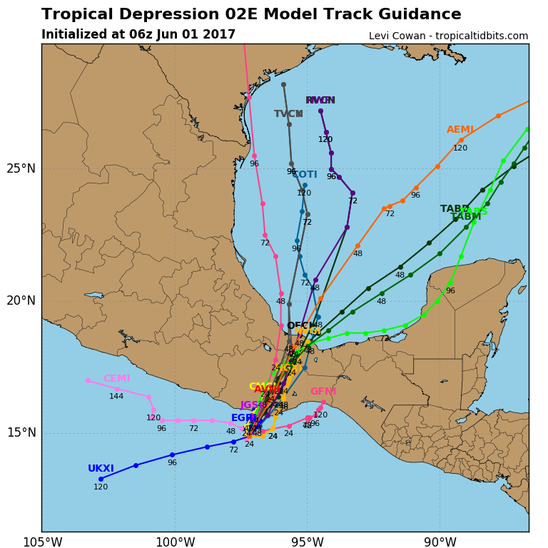
Lastly - a tropical depression formed in the Pacific...but should head into Gulf of Mexico and become an Atlantic disturbance. Be safe.


 RSS Feed
