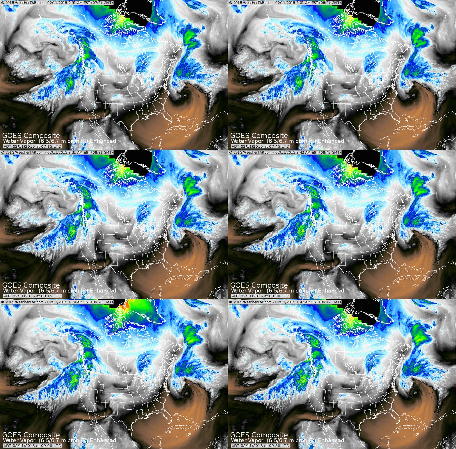
Storm in Atlantic will stay offshore. System in Great Lakes
will bring some light snow there today...and into Northeast Thursday. Moisture moving into west coast could turn out to be a potent weather maker for Northeast this weekend.
will bring some light snow there today...and into Northeast Thursday. Moisture moving into west coast could turn out to be a potent weather maker for Northeast this weekend.
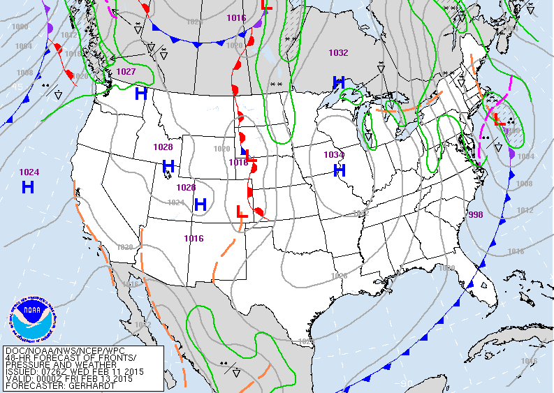
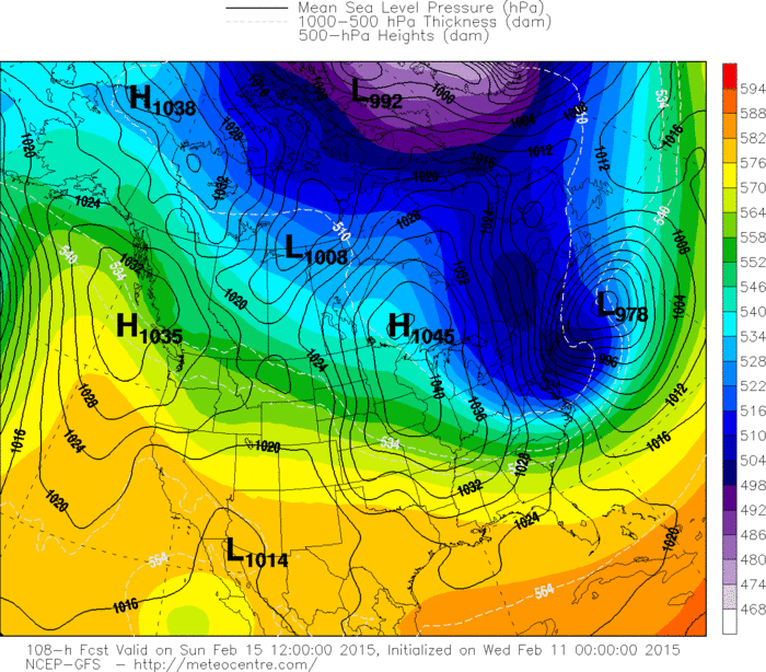
Map above is for Thursday evening. First clipper low moving off New England...wind and arctic air follows.
Rather unimpressive system in Plains will be the potent
weather maker for the Northeast. If the energy associated with this low closes off ...then a storm will rapidly explode off the Virginia Capes Saturday night and could bring
near white-out conditions to So. New England. The chances
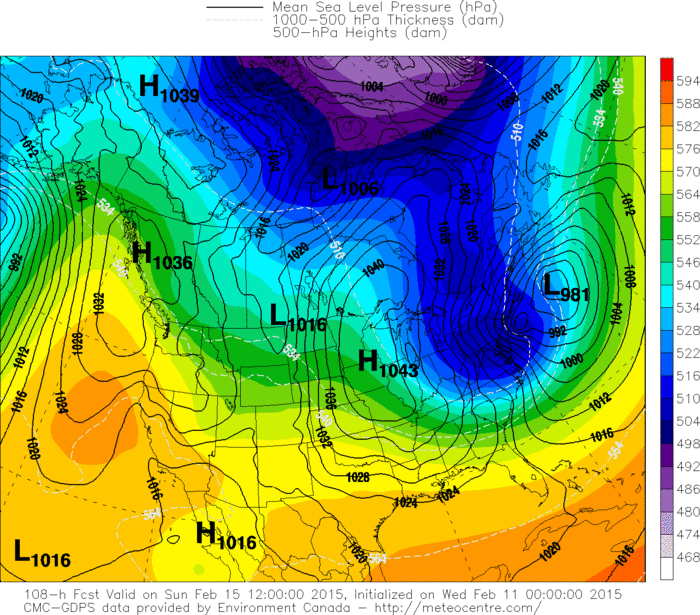
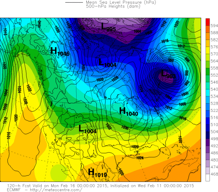
are not high...but are present and must be watched. Below..are the various models for Saturday/Sunday time frame....all showing a massive intrusion of arctic air and wind for Northeast and MidAtlantic. More on this tomorrow.Be safe.

 RSS Feed
