Because of the deep trof over Eastern Canada..next system in Plains will be forced south. That system will bring storms to Ohio Valley Saturday and East Sunday.
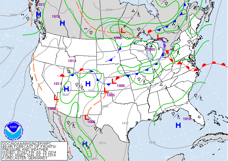
Above - map shows weather systems for late Saturday. Weather maker - front in Midwest...and storm in Winnipeq Canada.
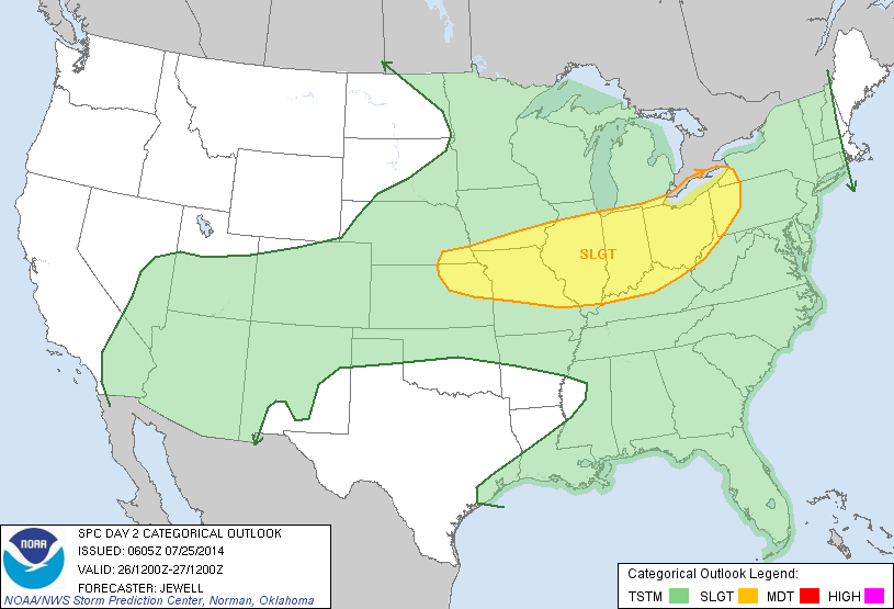
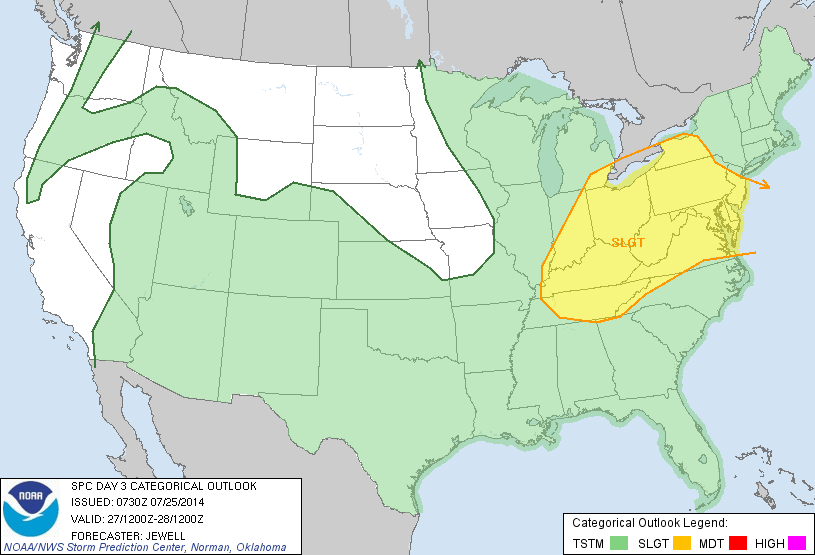
Yellow shows area under the gun for severe weather Saturday. Below...map shows severe weather for Sunday.
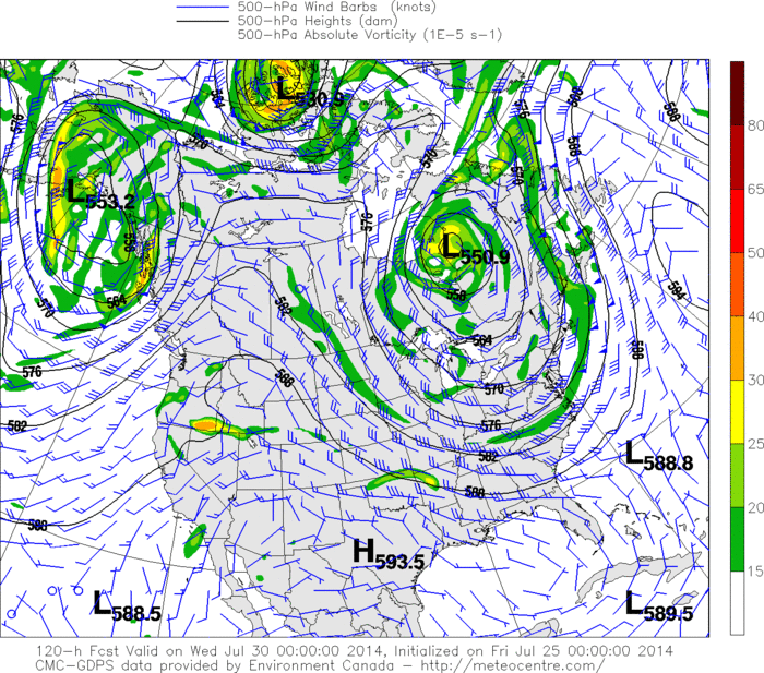
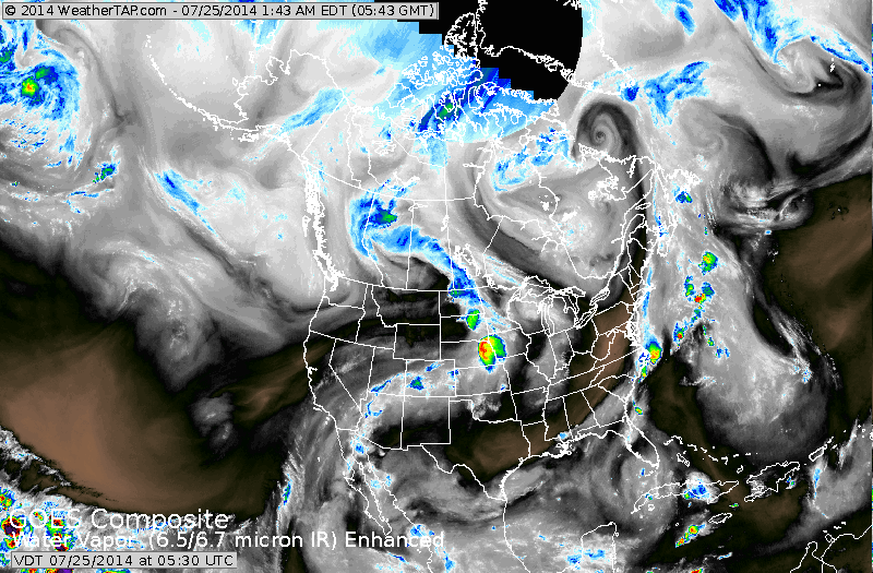
Map above...upper air - showing jet stream dropping far south into Gulf States. Second time this has happened this month...and well below normal temps can be expected for the deep south as well as The East. Tropics are quiet.
Off on a short vacation...Mike Merin and Joe Leonardi will be keeping you updated. Be safe.
Off on a short vacation...Mike Merin and Joe Leonardi will be keeping you updated. Be safe.

 RSS Feed
