
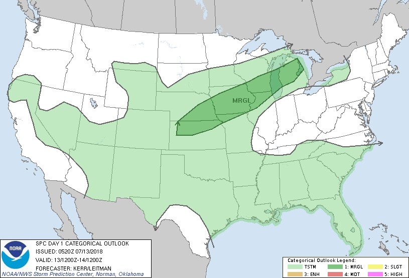
Satellite/radar showers storms from The Plains into The Great Lakes. These are associated with a cold front. The storms will reach the Northeast from late Saturday and continue into Wednesday. After that - cooler and drier. Below-= today's risk of severe weather....dark green.
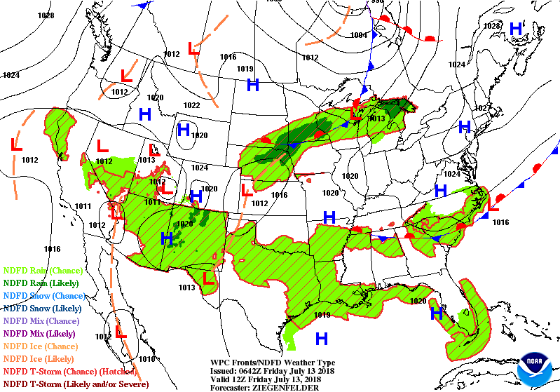
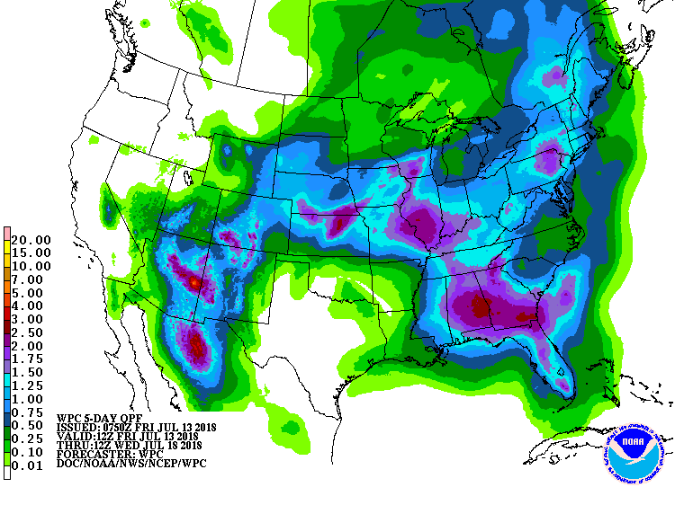
Below- animated maps for next 2 days...followed by rainfall through next Wednesday.
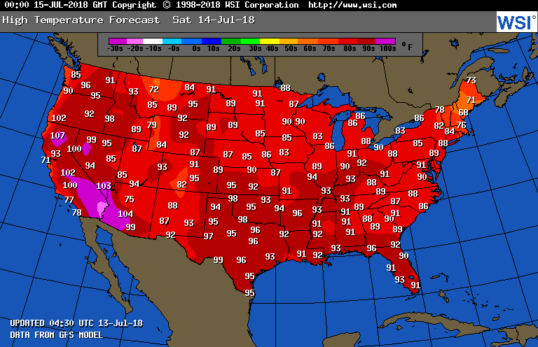
Below - high temps expected for your Saturday.
Finally...upper air for next Friday. It shows a trof over the East. This represents a pattern change which we think we establish a strong ridge up the Rockies and trof for East Coast .....so the hottest summer weather could be biting the dust come August....especially from Great Lakes into Northeast. Have a nice weekend...be safe.


 RSS Feed
