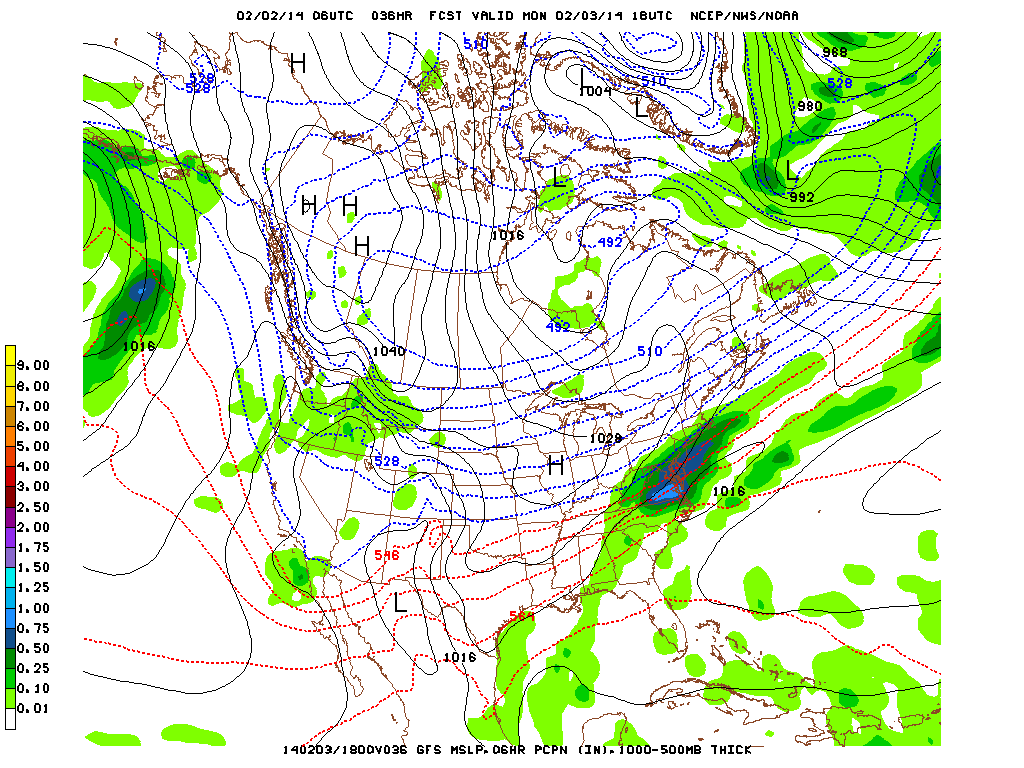
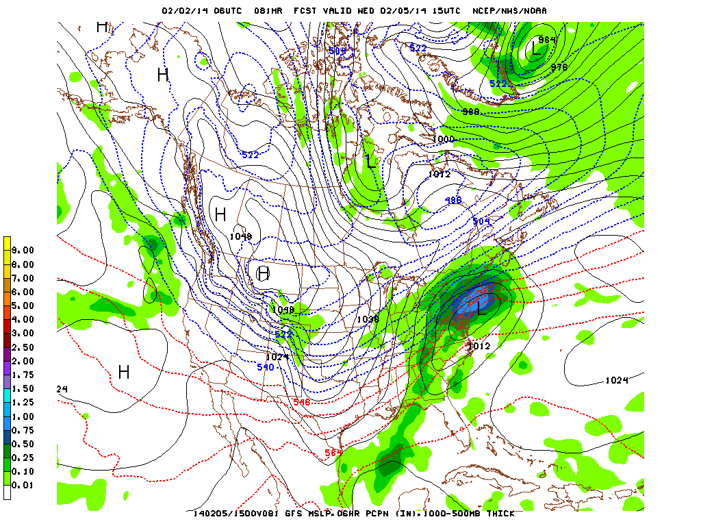
The models are STILL having trouble predicting where these storms are moving. It has a better handle on Monday's snow:
Another change has it moving even closer to us by just 20-30 miles. Again this seems like very little, but it increases the amount of snow from prior estimates of 2-3” to 3-4” with a slightly earlier start time (11PM vs 1AM). More on that below.
Now the bigger news: the models are still confused about Tuesday night/Wednesday's storm. It keeps shifting it north and south on every run by 10-20 miles. While this may not seem much it means all the difference because of how close the NY metro area is to the freezing point. It's slowly been wiggling south (around 40 miles now).
The good news? That means slightly less precip. The bad news? It's worse: it means that instead of all rain, there's a good chance of it mixing with freezing rain sleet and snow in the morning and possibly into noon (Westchester could see only snow/f.rain, southern CT mixed precip, northern CT and up all snow).
Again we were 96 hours away from this happening during yesterday's runs and we're still another 70 hours to go so anything is still on the table with the freezing line so close and the tipping points still unstable. Models show that upper air temps (850-500mb) over the NY metro area during the day will be 32-34° which will dispense a mix of rain and snow, BUT they're showing temperatures closer to the surface (1000-850mb) colder at 30-32° bringing the chance for sleet and worse off, a chance of freezing rain especially in the morning.
Have I mentioned how much of a headache it is to decipher all this data and make forecasts only to have all the data constantly shift around?
Here's the latest rundown:
Sunday night into Monday:
11PM-2AM – 38° → 36° - 20% rain showers
2AM-7AM – 36° → 34° - 30% mix of rain and snow showers (slush on roads)
7AM-11AM – 34° → 32° - 70% snow showers (1-2” acc, some freezing on roads from prior rain)
11AM-5PM – 32-33° - 60% snow showers (another 1-2” acc)
5PM-8PM – 32° → 30° - snow flurries taper off (trace)
Temperature will be slowly dropping throughout the night from 46° to 34° at sunrise, then will remain at only 32-33° for the day. 11PM will be RAIN SHOWERS (20%POP) any precip between 2AM and 7AM will be a mix of RAIN(30%)/SNOW(30%) (trace accumulations causing snow on roads) after that may will be all SNOW (70%POP) which will have our 2-4” for the day.
Tuesday:
Sunshine (appreciated)
Tuesday night into Wednesday night:6PM – 36° - MIXED – earliest chance of anything dropping
9PM-12AM – 35° → 33° - 30% MIXED – picks up (trace acc)
12AM-5AM – 32-33° - 50% mix of RAIN and SNOW showers (<.10” liquid, slush roads)
5AM-8AM – 32° - 70% FREEZING RAIN AND SLEET (TRACE BUT CAN FORM ICE)
8AM → – 32-35° - 80% MIX OF RAIN and possible SLEET, can be heavy at times
6PM – 34° - 20% RAIN tapers off
Only a few degrees cooler means that we'll be seeing a mixed bag of rain snow sleet and freezing rain. We'll have to see how this plays out over the next few models run.
Thursday/Friday
Sunny and cooler, NO PRECIP. Temps will be at or just below the freezing mark.
Once again as stated yesterday: of course with all this new data and the complicated nature of this system, these forecasts are subject to change but this is the best we can do at the moment to interpret what these upcoming systems will drop on us.
Mike Merin


 RSS Feed
