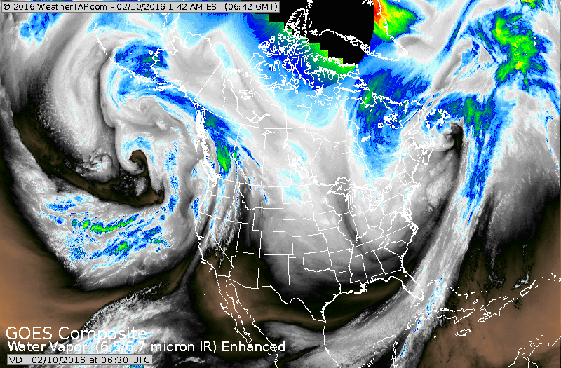
Satellite picture shows the jet stream dropping south into Gulf States so...the delivery of arctic air has begun. This weekend..the coldest air of the season will be over the Northeast and Mid Atlantic. As the air tries to retreat early next week....widespread wintry problems will take hold along the eastern seaboard.
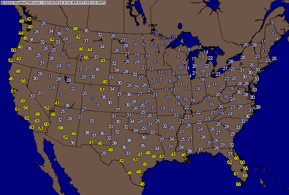
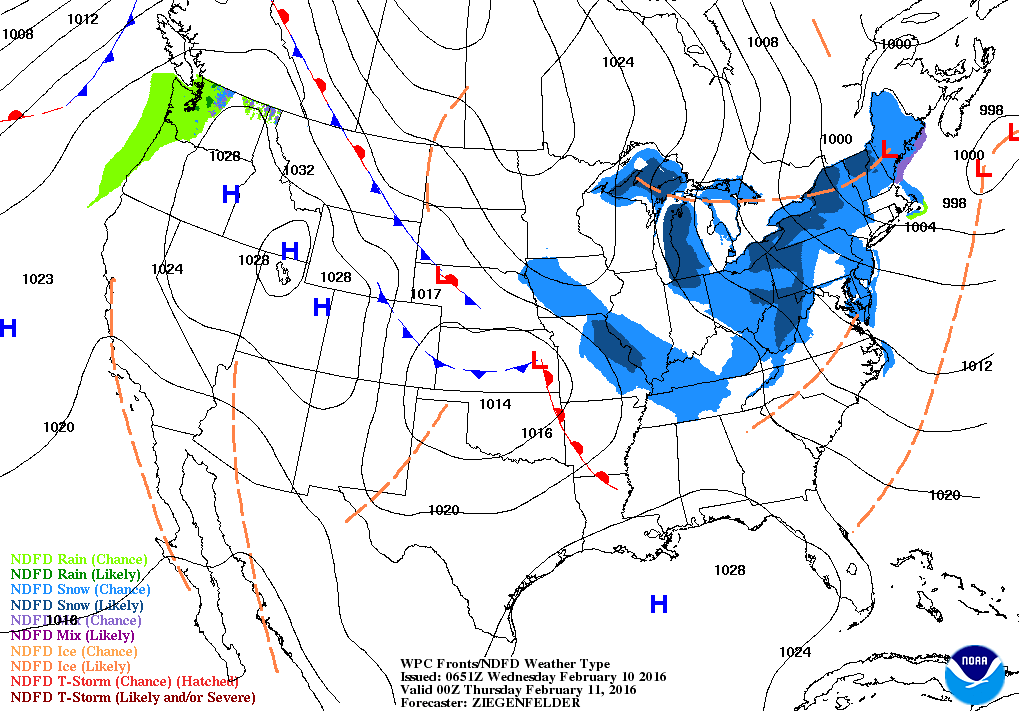
Early morning temperatures already below zero in Northern Plains....a sign of things to come for most. Below...weather map for this evening...showing the cold air pushing down from the Plains and lake effect snow in Great Lakes.
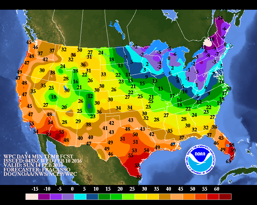
Above...projection of morning low temperatures this Sunday....
they can even have frozen orange juice for breakfast in Florida.
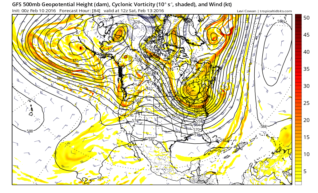
Below...upper air maps: first one showing the upper pattern for this weekend...allowing arctic air to flow down from North Pole.
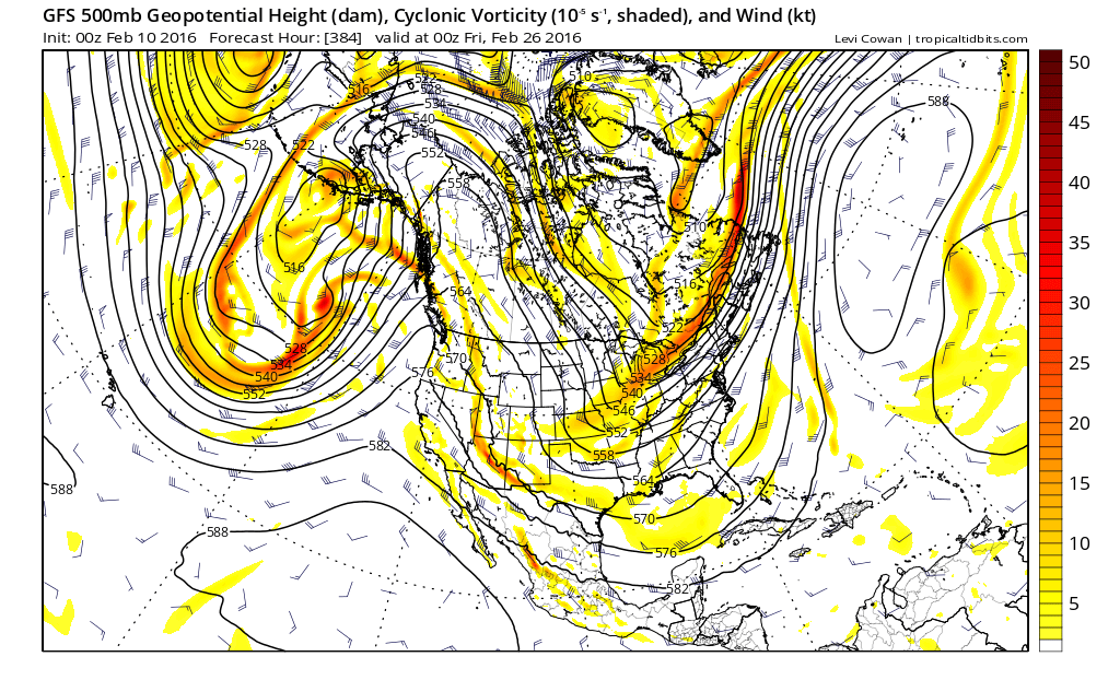
second map - upper air map for end of February....showing a similar pattern to begin to take shape...which would lead us into March on a cold wintry note. Go slow and be safe.
they can even have frozen orange juice for breakfast in Florida.
Below...upper air maps: first one showing the upper pattern for this weekend...allowing arctic air to flow down from North Pole.
second map - upper air map for end of February....showing a similar pattern to begin to take shape...which would lead us into March on a cold wintry note. Go slow and be safe.

 RSS Feed
