Remember last Sunday when we were supposed to get 3-6" and by the end of the day we barely saw an inch? That's the difference only 40 miles makes.
Take a look at NYC's records in precip and you'll see .01-.02" of liquid precip translating to only .10-.25" of snow.
Take a look 40 miles south, that becomes.15-.25" of precip translating to 2-4" of snow.
All it took was less than an hour of driving to see a drastic difference in where the bands in precip were, and that's all thanks to the stronger northwesterly winds that day. With that in mind, take a look at the next two pictures to see just how close we may be getting to more snow over the new two days (click to enlarge pics).
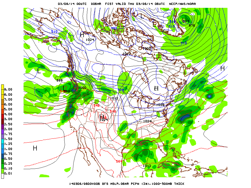
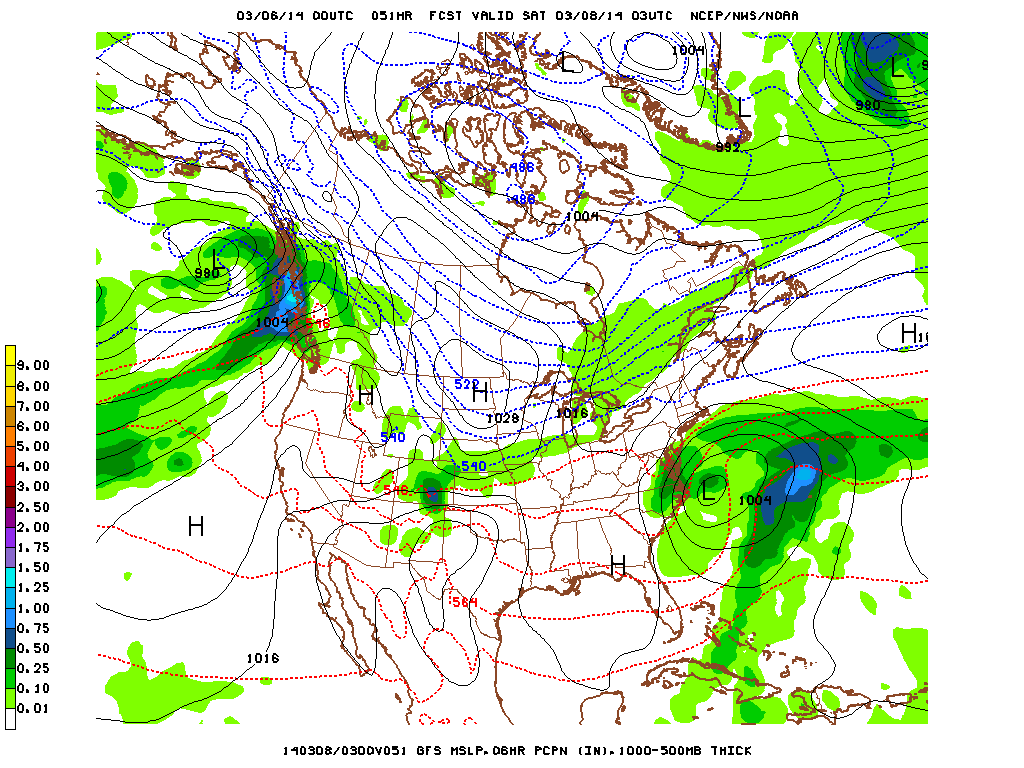
The first picture is the current system with the nearest precip only 80 miles south of us and the main precip 130 miles (at one point it was 50/80) and the second picture is Friday night's system, passing us by at only 20 miles south.
These are the reasons the models were unsure about Sunday's storm, why they were unsure about today's possible precip, and were also on the fence about tomorrow night's as well. While they were giving the illusion of simply flipping a coin and telling us snow or sunshine, it's more of the fact that these weather systems keep walking the line of doing one or the other to us making it harder to get a grasp of what will happen.
These are the reasons the models were unsure about Sunday's storm, why they were unsure about today's possible precip, and were also on the fence about tomorrow night's as well. While they were giving the illusion of simply flipping a coin and telling us snow or sunshine, it's more of the fact that these weather systems keep walking the line of doing one or the other to us making it harder to get a grasp of what will happen.
That being said, the fact still remains that the current pressure systems can easily tell us the winds, and those winds can tell us if they'll help us avoid further weather. It's too soon to tell now about next week, but the 40 mile thing seems to be a recurring character if you take a look at next Thursday:
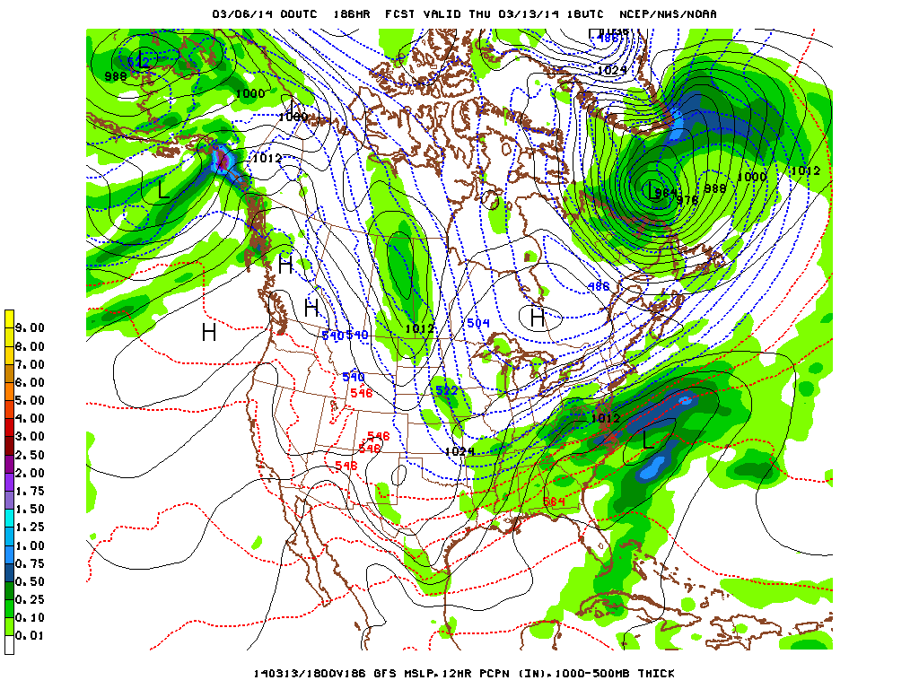
Problem is when you take a look at the next slide of that, it does indeed move north and hit us (the winds are parallel in this picture so it does make sense).
For now though, sunshine and rainbows. Well, sunshine and warmth as we'll see 40's again by Friday. Melt snow, melt.
-Mike Merin
For now though, sunshine and rainbows. Well, sunshine and warmth as we'll see 40's again by Friday. Melt snow, melt.
-Mike Merin

 RSS Feed
