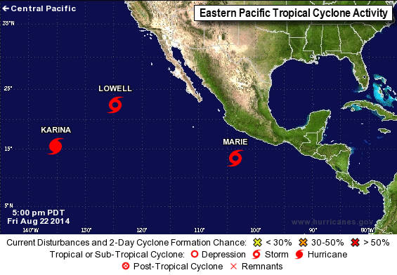
Both the Atlantic and Eastern Pacific have no shortage of Tropical systems, with three alone last night to the SW of Mexico: Karina Lowell and Marie. They will either be moving well offshore or will dissipate.
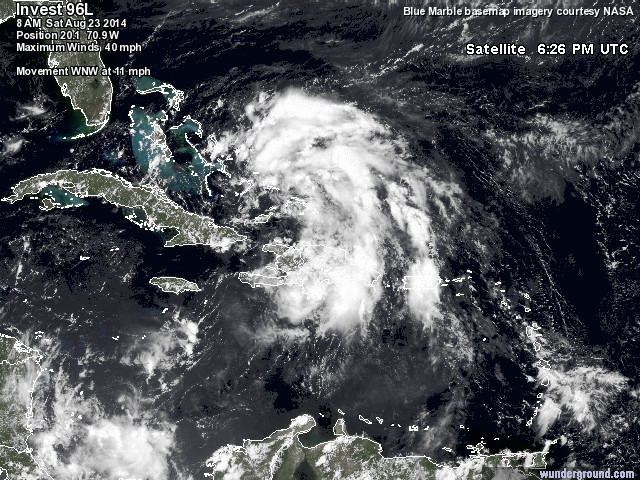
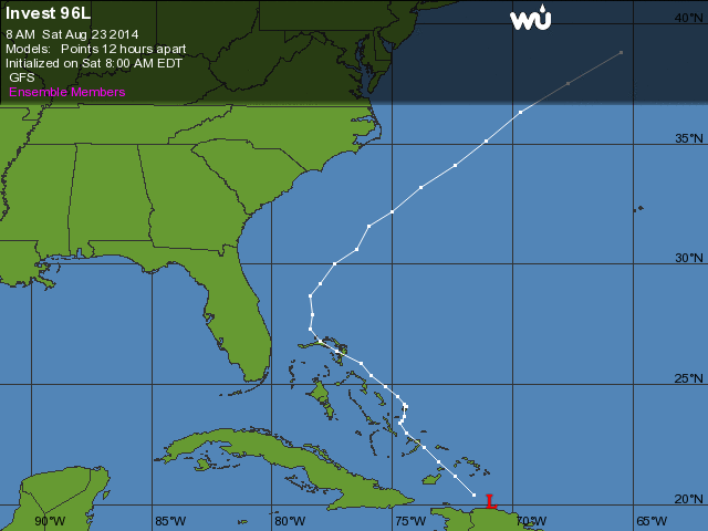
The Atlantic will soon be seeing its third named storm of the season, as Invest 96L will soon become Tropical Storm Cristobal. It's currently north of Haiti with Maximum winds of 40MPH moving WNW at 11MPH.
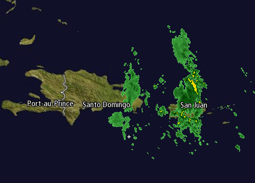
The impact will mainly involve the Bahamas, and should miss the US mainland entirely. Good news as well is that the amount of precip thus far is scattered and minimal. Granted it should increase once the system becomes more organized. so far the amount is less than usual for this type of storm.
Finally the timeline: the system is slow moving, and while surf will effect the US mainland, any precip will hold off until Tuesday Night with the main portion of any possible winds taking effect on Wednesday in the early AM.
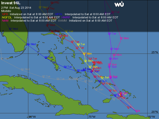
It will be easier to tell where the storm is headed tomorrow once the models all start cooperating with one another, and with there being an actual organized system that the models can better work off of.
-Mike Merin
-Mike Merin

 RSS Feed
