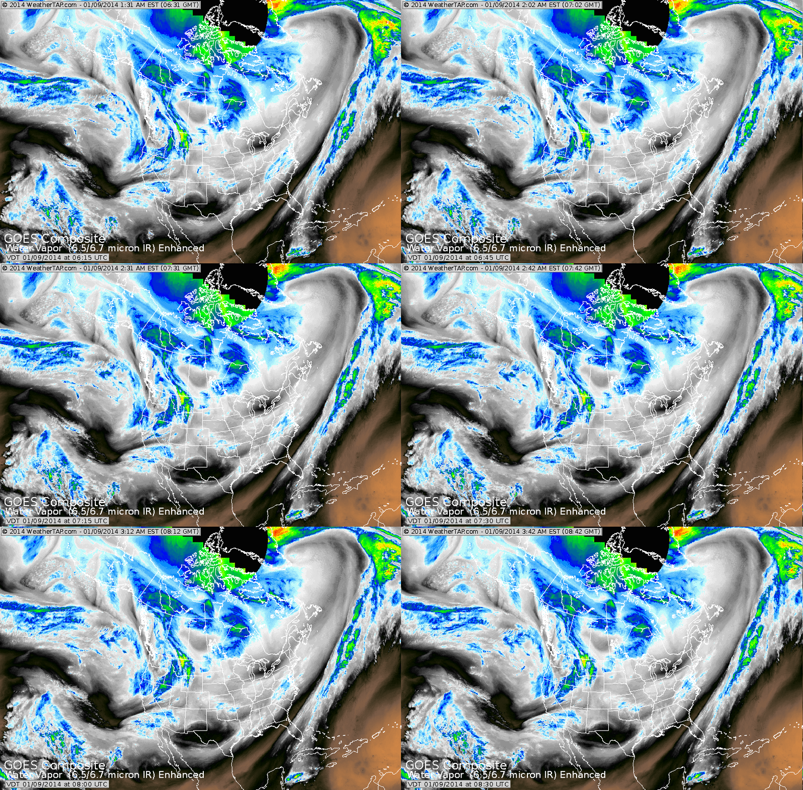
We have already seen much warmer weather across the Nation during the overnight hours as the last of the arctic air continues from the upper Midwest into the Northeast. Milder weather will continue thru the weekend and into early next week. All of the action is out west as you can see on our satellite picture below.
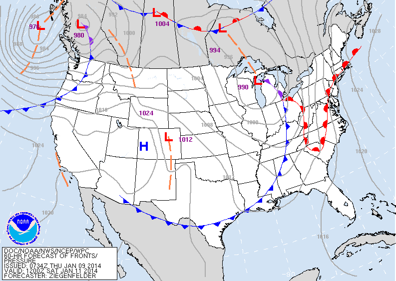
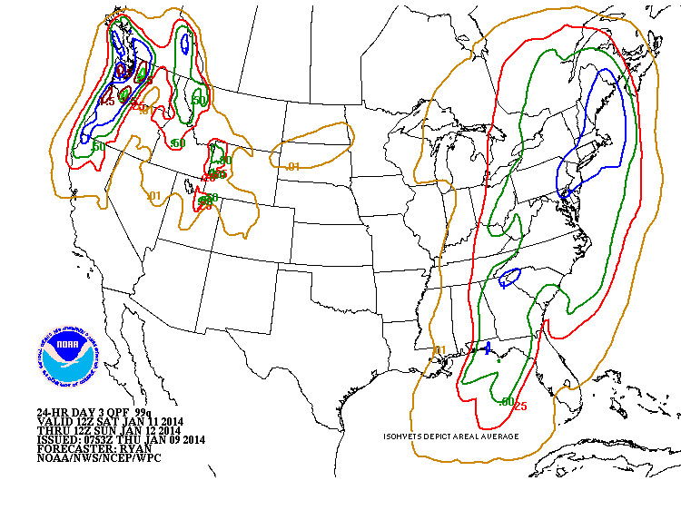
Our next weather system..now west coast...moves east to give all of The East rain this weekend....and a good deal as well. Following that front...(map below for Saturday) you can see that there are no highs in the north...so the air will not be of polar or arctic origin...thus keeping it closer to normal Sunday and early next week. Below that chart is the map depicting amounts of precipitation for the weekend. Clearly 1" of rain up and down the East Coast....which could have been 10" of snow...but not this time.
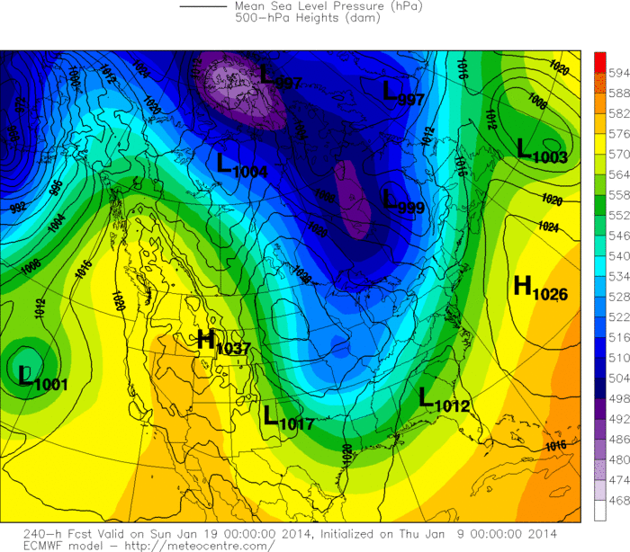
Finally...the map below is The European Model depicting next weekend...so over 1 week away. The trend they are indicating is back to cold....as you see the blue's returning big time. Don't be too upset...I don't think that will be a long event...as the roller coaster winter will continue. Later.


 RSS Feed
