
Satellite above.....large burst of colors in Great Lakes is
a large area of thunderstorms...called an MCC....mesoscale convective cluster. Some of this will weaken while the rest
continues east. The swirl in The Pacific Northwest will creat more storms later this week..and that too moving east which could mess things up in East this weekend.
a large area of thunderstorms...called an MCC....mesoscale convective cluster. Some of this will weaken while the rest
continues east. The swirl in The Pacific Northwest will creat more storms later this week..and that too moving east which could mess things up in East this weekend.
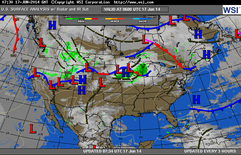
Surface map above for today shows that front and low with all the wetness in The Great Lakes. The system in The Rockies will only continue to spread unsettled weather east.
Very untypical for June.
Very untypical for June.
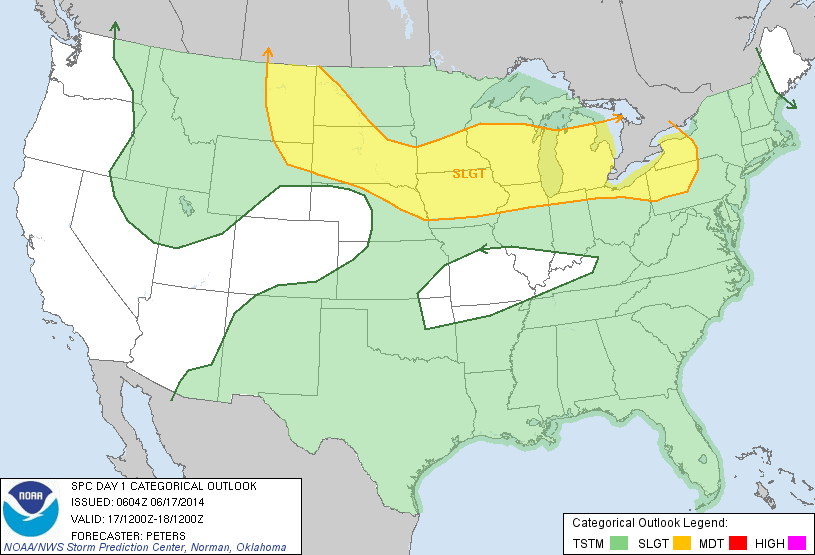
Above...today's areas for potential severe weather - yellow.
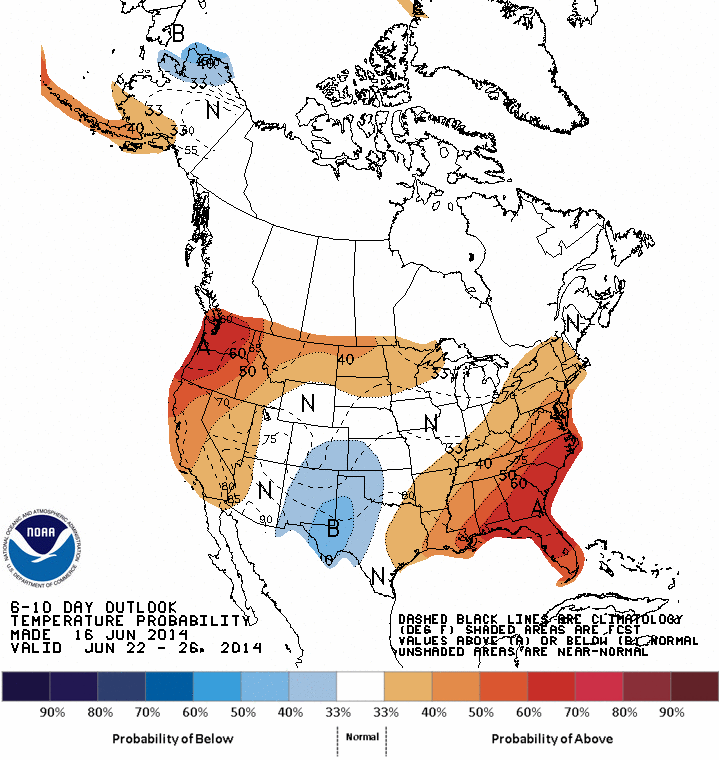
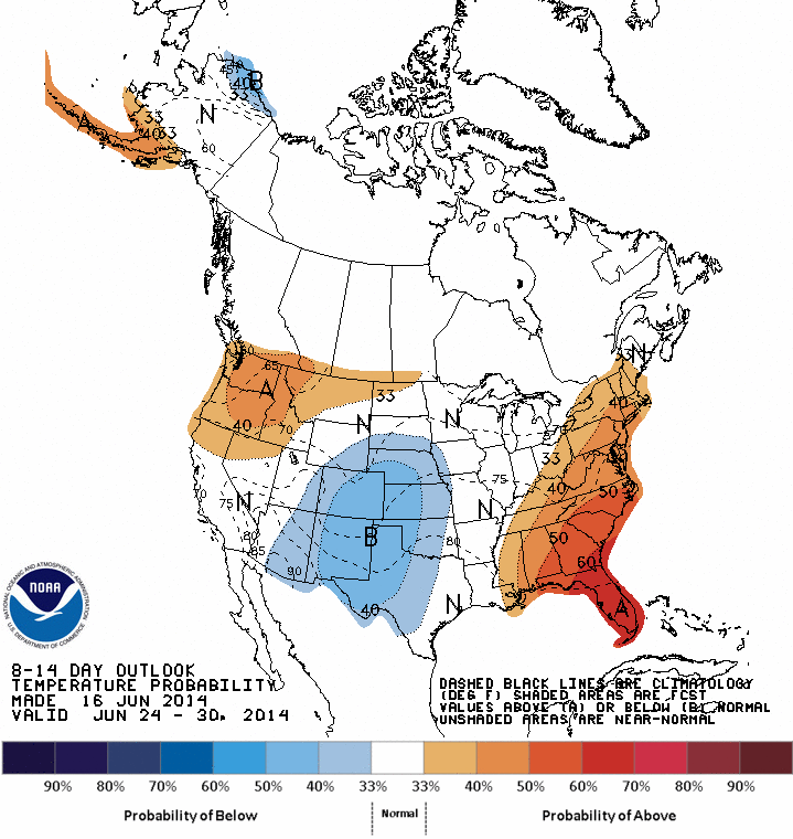
Above - 2 maps: 1 through June 26th....just above through June 30. They represent how high temperatures will average right through the end of the month. East and West
warmer...Central - cooler..... elsewhere - near normal. Be safe.
warmer...Central - cooler..... elsewhere - near normal. Be safe.

 RSS Feed
