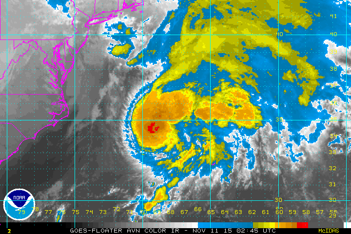
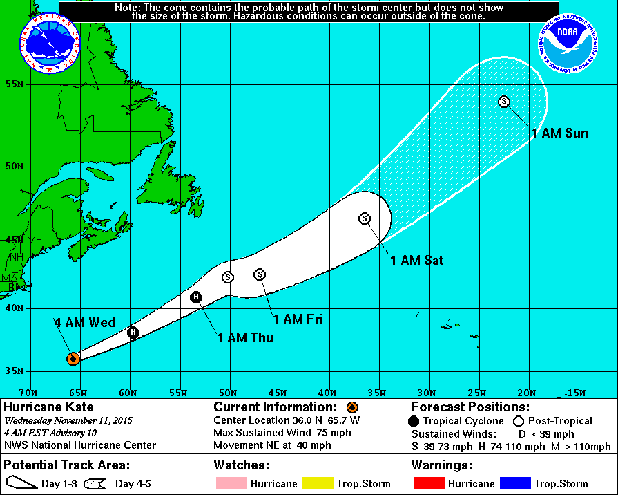
Above....tropical storm Kate....moving rapidly out into the Atlantic. Below...Kate's track.

Satellite/radar shows Kate on right side of screen moving out.
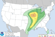
Rain over Northeast will slowly clear. System in Rockies will be a big wind and storm producer later today and tonight. It will reach the East Thursday. Wet weather for Pacific NW. Below...map showing severe threat today from dark green to yellow and tan. Iowa and Illinois have the greatest risk.
Rain over Northeast will slowly clear. System in Rockies will be a big wind and storm producer later today and tonight. It will reach the East Thursday. Wet weather for Pacific NW. Below...map showing severe threat today from dark green to yellow and tan. Iowa and Illinois have the greatest risk.
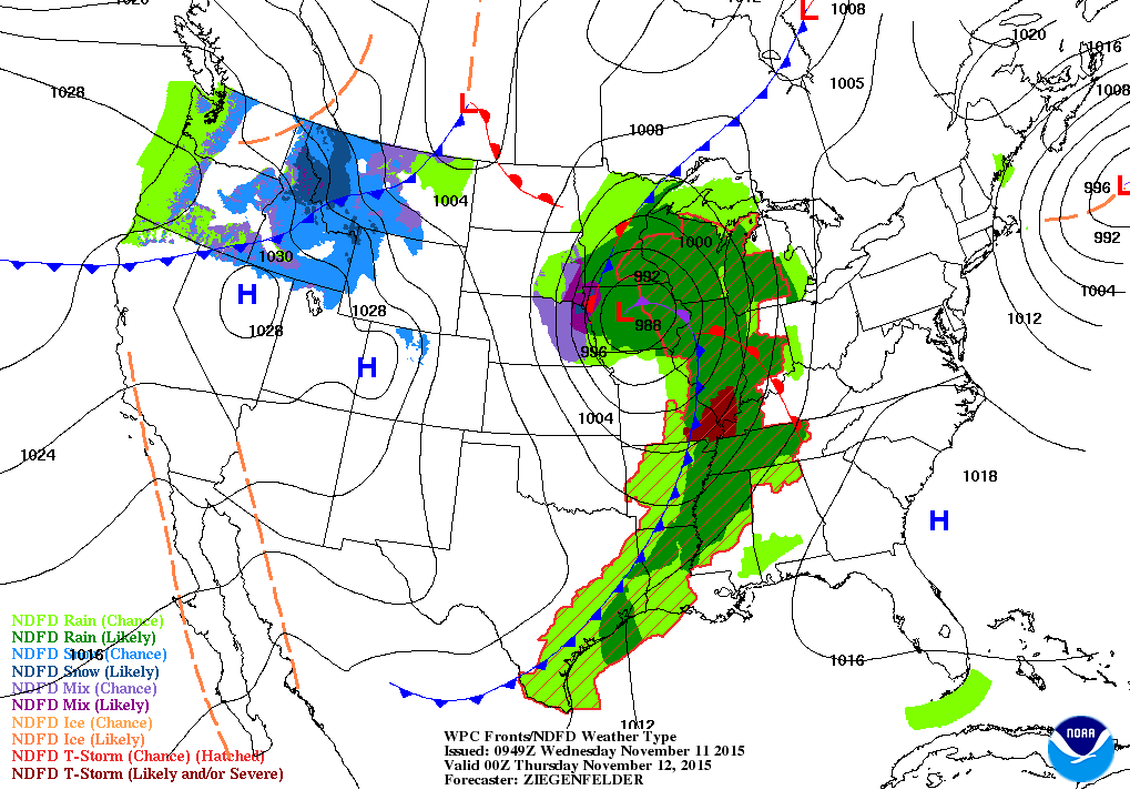
Map above is for this evening. Midwest storm heads up through Great Lakes. Cold front moving through Rockies bring snow
there with gusty winds. Systems should remain progressive right into next week. Be safe.
there with gusty winds. Systems should remain progressive right into next week. Be safe.

 RSS Feed
