With the passing of a cold front on this Saturday, temperatures will take a bit of a drop below the norm for the next few days and the air will be vacant of moisture.
A visible line in the clouds in visible satellite imagery shows the cold front move away form the Northeast region as of Saturday evening.
A visible line in the clouds in visible satellite imagery shows the cold front move away form the Northeast region as of Saturday evening.
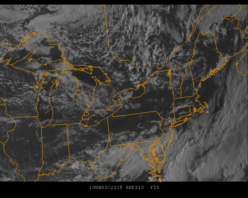
The line of clouds extends from southeast Maine, southwest along the Mid-Atlantic states. Not as warm & much drier air will find a home in much of the Northeast for a few days.
The below image shows high pressure still in control on this upcoming Monday, August 5 but plenty of moisture is beginning to churn with 2 centers of Low pressure bringing rain many areas just east of the Mississippi River and then reaching the NY Metro area by late Wednesday & Thursday morning.
The below image shows high pressure still in control on this upcoming Monday, August 5 but plenty of moisture is beginning to churn with 2 centers of Low pressure bringing rain many areas just east of the Mississippi River and then reaching the NY Metro area by late Wednesday & Thursday morning.
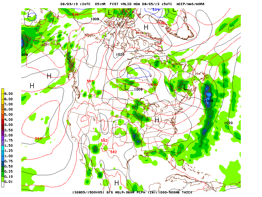
Monday, August 5
For right now, enjoy the next few days in the northeast which could contain some of the best summer days this season.
Take care & be well.
- JL
Take care & be well.
- JL

 RSS Feed
