As we predicted last week, another front will move through over the next few days, bringing chances of precip starting Monday late afternoon into Wednesday overnight. Now usually when fronts move through, the rain's limited to one day, so why are there so many days with rain in the forecast?
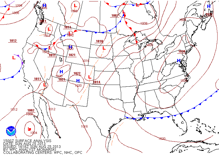
The current surface map shows a very large area of high pressure over the tristate area, which is why we're having so much sunshine. Just to the NW of the great lakes we see a low pressure system along with a front stretching all the way to California. Where they move is the answer to our question. Below is the jet stream:
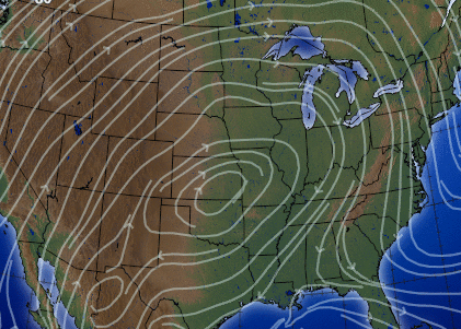
This is the upper level air where winds move much faster than on the surface and can tell us on a larger scale where systems may move. We can see the very large area of high pressure in the center of the nation, and the winds curving along the great lakes and dipping down along the eastern seaboard (which is one of the reasons why it's cooler today as we're getting the cooler Canadian air).
But, the entire jet will be moving east over the next few days, meaning that the very strong easterly winds that you can currently see over the great lakes will force that low pressure system in the first picture to also move east. Along with the southwesterly winds, this means the front will elongate and remain almost vertical as it moves across the nation.
But, the entire jet will be moving east over the next few days, meaning that the very strong easterly winds that you can currently see over the great lakes will force that low pressure system in the first picture to also move east. Along with the southwesterly winds, this means the front will elongate and remain almost vertical as it moves across the nation.

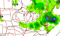
This is Wednesday evening, and you can see how the low finally drops down south into New England, with the front stretching very far west. So, while the low pressure system will remain above the Canadian-US border, the front will stretch across the US and bring us chances of rain for a few days as it keeps the air around us unstable. But remember, even though it's a cold front passing by, those south to south-westerly winds will move into the area and increase temperatures by 4-7° once again reaching into the mid-upper 80's as it was last week.
So enjoy the sunny, cooler, and much less humid weather, and worry about all the stuff I said above another day.
-Mike Merin
So enjoy the sunny, cooler, and much less humid weather, and worry about all the stuff I said above another day.
-Mike Merin


 RSS Feed
