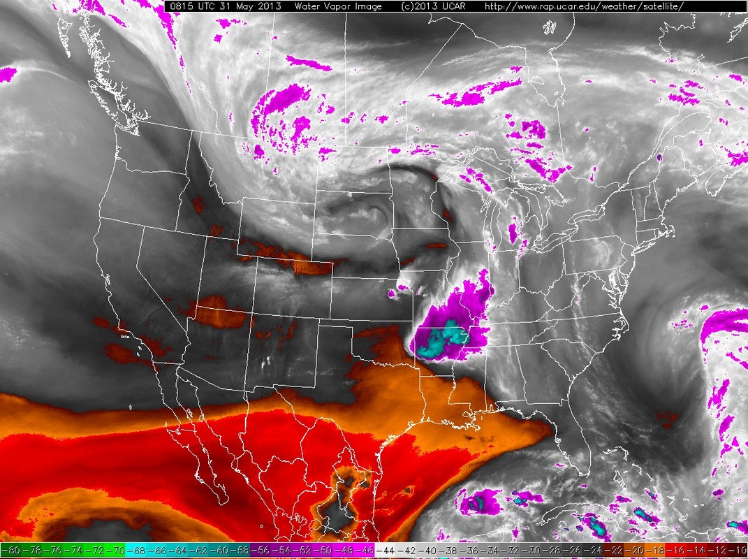
Water vapor sat pix show major weather system in mid U.S. You can see the humid weather for The East...and look how it carves itself out in the Gulf......good place for something tropical to form. Not sure if it will be remains of Barbara or just new.
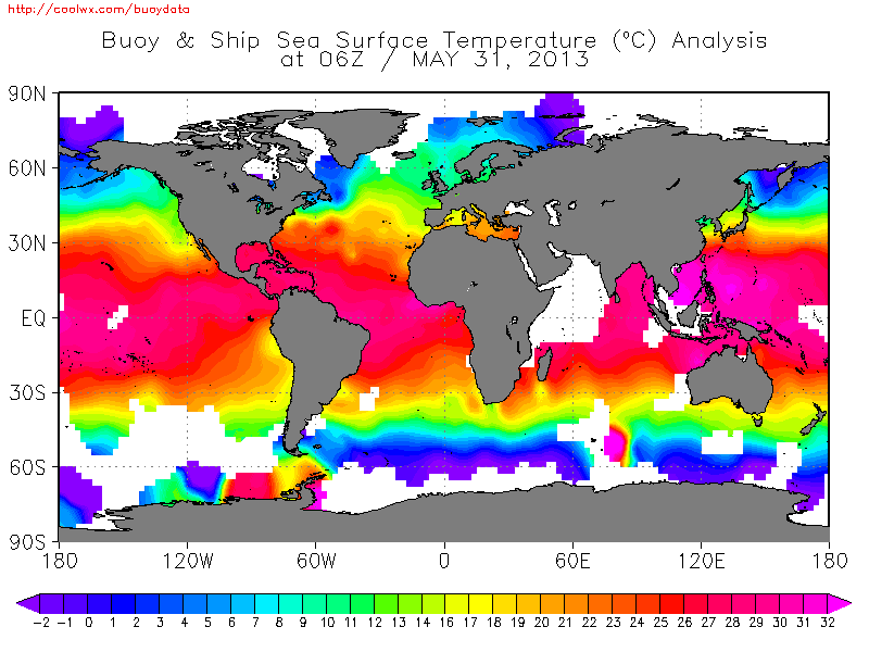
Ocean temps. are certainly warmer than normal and this should prompt tropical development earlier than expected.
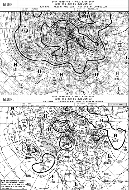
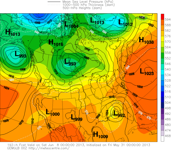
Here is the Canadian Model for 144/192 hr - next Friday night. They have been insisting on this all week. Looks quite practical.
Back to short range: cold front moves across East on Monday with heavier rain and thunderstorms....some may be severe especially Northeast. Front moves offshore and stalls. High pressure moves into the Northeast...as 500 trof heads across Ohio/ Tnn Valleys. Here's the fetch of tropical moisture that extends from old front...and then gets absorbed by 500 trof. By late next week this leaves a large area of wet weather from the Midwest/Oh.Valley thru the Southeast. Ass to that the possible tropical development in Gulf and you have quite a wet pattern by end of next week. How it will resolve itself is far from certain. Looks like the 500 trof will scoop the tropical moisture up The Appalachians and then toward the coast. For now...enjoy summer...have a nice weekend...see ya next Monday. Weather or not...have a nice weekend.
-PP
-PP

 RSS Feed
