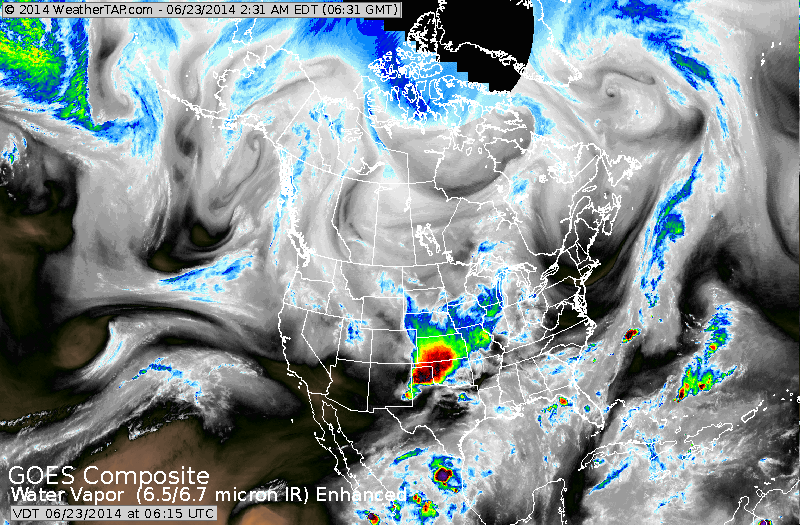
Satellite above shows large moisture swath Southern Plains extending to Great Lakes. This system will affect the Eastern Half of The Nation into Thursday with warm- humid weather and showers and storms.
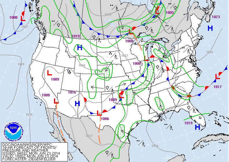
The front in mid section of The Nation causing most of the adverse weather this week. Meanwhile Canadian air is trying to press south...let's see if it makes it by the weekend.
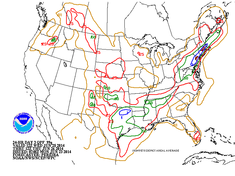
Amounts of rainfall (above) expected mid week this week. Notice the blue and brown over New England....that's 1-2" of rain.
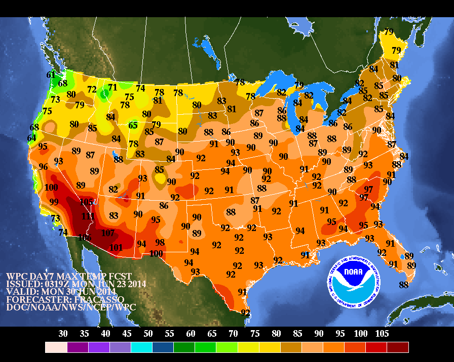
Map above....shows high temperatures for NEXT Monday. Will that set the stage for The Big 4th of July Weekend ? I'm willing to bet that in man y places it will be too hot by then..and with heat comes storms. For now...be safe.

 RSS Feed
