
You can see the doughnut shape off the coast of Vancouver...another over Texas/Oklahoma. The system in Texas will bring thunderstorms over the Eastern 2/3 of The Nation for the next couple. System out west may take until this time next week to reach The East.
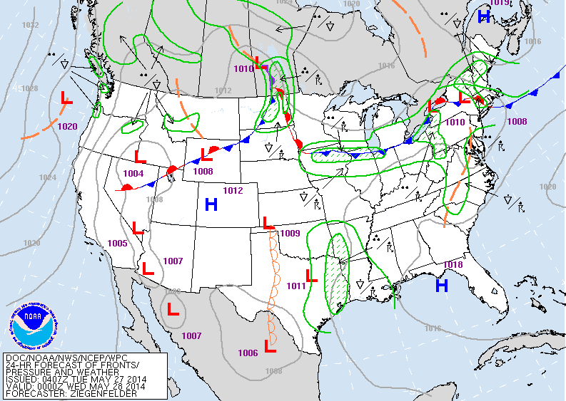
Above - Today's map showing showers and storms from Texas to Gt. Lks into The Northeast....some of which will be strong.
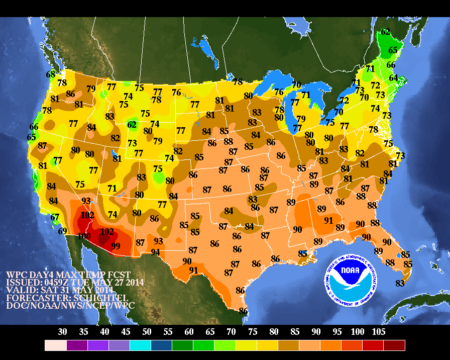
Above...high temperatures expected for this Saturday. Notice the green and yellow for Northeast.... and The Rockies.....that's the coolest weather.
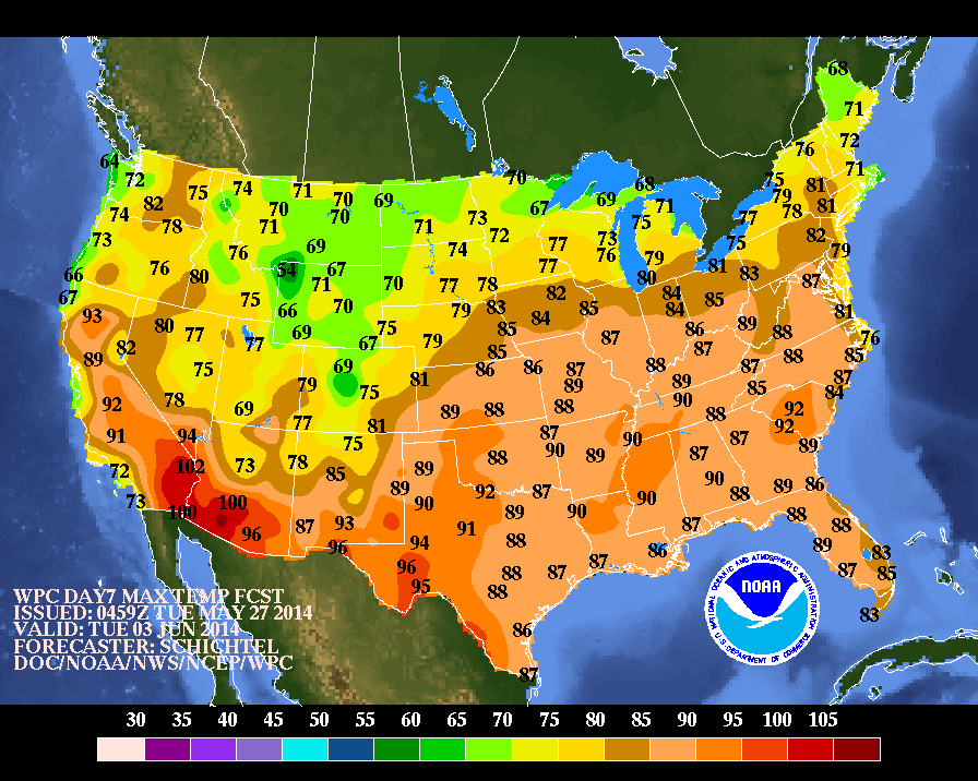
Above...high temperatures for next Tuesday - 1 week away. Warming for the Northeast...but even cooler for Rockies.
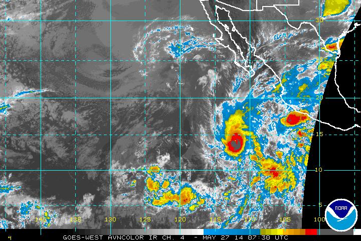
Below...satellite picture of Hurricane Amanda....which at one point was a cat. 4 hurricane...but continues to weaken in colder waters as it moves northwest. Later.
Below...satellite picture of Hurricane Amanda....which at one point was a cat. 4 hurricane...but continues to weaken in colder waters as it moves northwest. Later.

 RSS Feed
